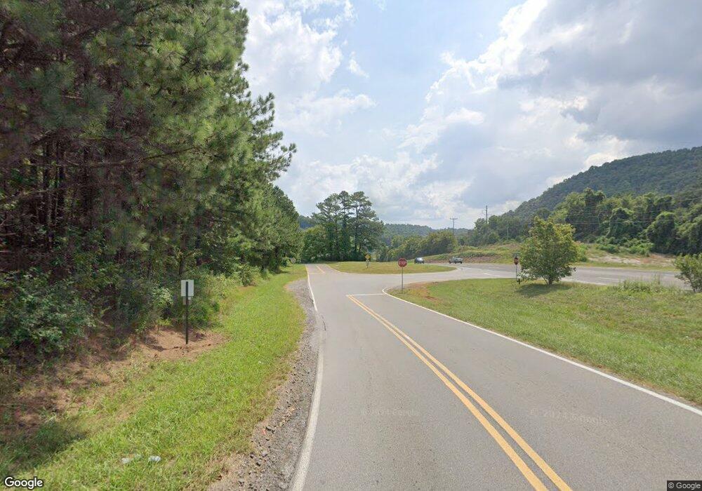
2164 Highway 53 E Jasper, GA 30143
Estimated Value: $183,000 - $360,000
--
Bed
2
Baths
1,716
Sq Ft
$159/Sq Ft
Est. Value
About This Home
This home is located at 2164 Highway 53 E, Jasper, GA 30143 and is currently estimated at $272,677, approximately $158 per square foot. 2164 Highway 53 E is a home located in Pickens County with nearby schools including Harmony Elementary School, Pickens County Middle School, and Pickens County High School.
Ownership History
Date
Name
Owned For
Owner Type
Purchase Details
Closed on
Oct 9, 2024
Sold by
Cline John P
Bought by
Cline John P and Cline Barbara J
Current Estimated Value
Purchase Details
Closed on
Aug 7, 2024
Sold by
Cline Barbara J Trust
Bought by
Cline John P
Purchase Details
Closed on
Nov 16, 2012
Sold by
Cline
Bought by
Cline John P
Purchase Details
Closed on
Mar 12, 1992
Bought by
Cline Cline P and Cline Barbara J
Create a Home Valuation Report for This Property
The Home Valuation Report is an in-depth analysis detailing your home's value as well as a comparison with similar homes in the area
Home Values in the Area
Average Home Value in this Area
Purchase History
| Date | Buyer | Sale Price | Title Company |
|---|---|---|---|
| Cline John P | -- | -- | |
| Cline John P | -- | -- | |
| Cline John P | -- | -- | |
| Cline Cline P | -- | -- |
Source: Public Records
Tax History Compared to Growth
Tax History
| Year | Tax Paid | Tax Assessment Tax Assessment Total Assessment is a certain percentage of the fair market value that is determined by local assessors to be the total taxable value of land and additions on the property. | Land | Improvement |
|---|---|---|---|---|
| 2024 | $940 | $47,498 | $13,200 | $34,298 |
| 2023 | $966 | $47,498 | $13,200 | $34,298 |
| 2022 | $966 | $47,498 | $13,200 | $34,298 |
| 2021 | $1,035 | $47,498 | $13,200 | $34,298 |
| 2020 | $1,066 | $47,498 | $13,200 | $34,298 |
| 2019 | $1,091 | $47,498 | $13,200 | $34,298 |
| 2018 | $1,101 | $47,498 | $13,200 | $34,298 |
| 2017 | $1,119 | $47,498 | $13,200 | $34,298 |
| 2016 | $1,137 | $47,498 | $13,200 | $34,298 |
| 2015 | $1,110 | $47,498 | $13,200 | $34,298 |
| 2014 | $1,112 | $47,498 | $13,200 | $34,298 |
| 2013 | -- | $47,497 | $13,200 | $34,297 |
Source: Public Records
Map
Nearby Homes
- 59 Brittany Ct
- 59 Brittany Ct Unit 8
- 41 Clark Station Rd
- 71 Emerald Ln
- 0 Wildlife Ridge Rd Unit 7650854
- 0 Wildlife Ridge Rd Unit 10606699
- 264 E Boling Rd
- 155 Crossroad Cir
- 1003 E Church St
- 981 E Church St
- 5 Towne Villas Dr
- 3.11 Acres Cove Rd
- 57 Towne Club Dr
- 3.11 AC Cove Rd
- 157 Towne Villas Dr Unit 18
- 165 Towne Villas Dr Unit 20
- 960 S Main St
- 147 Elizabeth St
- 787 Cove Rd
- 2168 Highway 53 E
- 2130 Highway 53 E
- 2094 Highway 53 E
- 2200 Highway 53 E
- 2076 Highway 53 E
- 2068 Highway 53 E
- 319 Scenic View Dr
- 292 Scenic View Dr
- 193 Scenic View Dr
- 2868 Twin Oaks Cir
- 206 Scenic View Dr
- 91 Scenic View Dr
- 91 Scenic View Dr
- 0 Twin Oaks Cir Unit 8327467
- 0 Twin Oaks Cir
- 92 Twin Oaks Cir
- 100 Camp Rd
- 154 Scenic View Dr
- 152 Scenic View Dr
- 51 Twin Oaks Cir
