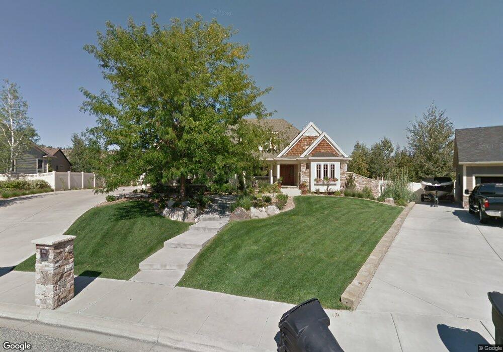
2165 Pheasant Place Billings, MT 59106
West Shiloh NeighborhoodEstimated Value: $1,043,614 - $1,253,000
About This Home
This home is located at 2165 Pheasant Place, Billings, MT 59106 and is currently estimated at $1,125,154, approximately $201 per square foot. 2165 Pheasant Place is a home located in Yellowstone County with nearby schools including Arrowhead School, Ben Steele Middle School, and Billings West High School.
Ownership History
We collect this data history from publicly available records. To have your information removed, we recommend requesting removal directly through your county’s website.
Purchase Details
Purchase Details
Home Financials for this Owner
Home Financials are based on the most recent Mortgage that was taken out on this home.Home Values in the Area
Average Home Value in this Area
Purchase History
We collect this data history from publicly available records. To have your information removed, we recommend requesting removal directly through your county’s website.
| Date | Buyer | Sale Price | Title Company |
|---|---|---|---|
| -- | -- | ||
| -- | None Available |
Mortgage History
We collect this data history from publicly available records. To have your information removed, we recommend requesting removal directly through your county’s website.
| Date | Status | Borrower | Loan Amount |
|---|---|---|---|
| Previous Owner | $625,000 |
Tax History
We collect this data history from publicly available records. To have your information removed, we recommend requesting removal directly through your county’s website.
| Year | Tax Paid | Tax Assessment Tax Assessment Total Assessment is a certain percentage of the fair market value that is determined by local assessors to be the total taxable value of land and additions on the property. | Land | Improvement |
|---|---|---|---|---|
| 2025 | $8,548 | $1,065,600 | $157,560 | $908,040 |
| 2024 | $8,548 | $870,300 | $131,909 | $738,391 |
| 2023 | $8,512 | $870,300 | $131,909 | $738,391 |
| 2022 | $7,510 | $795,400 | $0 | $0 |
| 2021 | $8,294 | $795,400 | $0 | $0 |
| 2020 | $8,495 | $780,200 | $0 | $0 |
| 2019 | $8,108 | $780,200 | $0 | $0 |
| 2018 | $8,177 | $747,100 | $0 | $0 |
| 2017 | $6,916 | $747,100 | $0 | $0 |
| 2016 | $7,374 | $706,000 | $0 | $0 |
| 2015 | $7,254 | $706,000 | $0 | $0 |
| 2014 | $6,719 | $345,984 | $0 | $0 |
Map
- 1813 Chandelier Cir
- 2503 Aspen Way
- 1737 Crystal Dr
- 2140 S Stone Creek Trail
- 4506 Rio Vista Dr
- 4649 N Hollow Brook Dr
- 4534 Loma Vista Dr
- 1340 Cloverleaf Place
- 4816 Silver Creek Trail
- 4902 Silver Creek Trail
- 2514 Silver Pine Ct
- 4055 Rimrock Rd
- 2518 Silver Pine Ct
- 3880 Avenue C
- 4515 Rimrock Rd
- 1200 Bluegrass Dr W
- 3740 Fairmeadow Ct
- 4325 Pine Cove Rd
- 4440 Pine Cove Rd
- 4025 Audubon Way
- 2157 Pheasant Place
- 4318 Rangeview Dr
- 2173 Pheasant Place
- 2172 Larchwood Ln
- 17 Pheasant Way
- 2160 Larchwood Ln
- 4310 Rangeview Dr
- 4330 Rangeview Dr
- 4339 Ridgewood Ln S
- 2174 Pheasant Place
- 2181 Pheasant Place
- 2179 Larchwood Ln
- 4320 Ridgewood Ln S
- 4292 Rangeview Dr
- 4321 Rangeview Dr
- 4351 Ridgewood Ln S
- 4308 Ridgewood Ln S
- 2238 Larchwood Ln
- 4332 Ridgewood Ln S
- 4337 Rangeview Dr
Ask me questions while you tour the home.