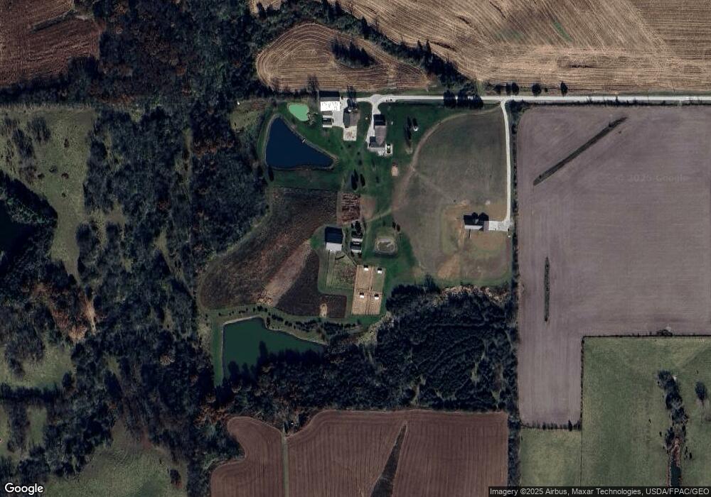
2166 162nd St West Point, IA 52656
Estimated Value: $222,000
4
Beds
2
Baths
2,491
Sq Ft
$89/Sq Ft
Est. Value
About This Home
This home is located at 2166 162nd St, West Point, IA 52656 and is currently priced at $222,000, approximately $89 per square foot. 2166 162nd St is a home located in Lee County with nearby schools including Fort Madison High School, Holy Trinity Catholic Elementary, and Holy Trinity Elementary.
Ownership History
Date
Name
Owned For
Owner Type
Purchase Details
Closed on
Feb 22, 2022
Sold by
Moeller Kurt L and Moeller Annette K
Bought by
Moeller Shianne M
Current Estimated Value
Purchase Details
Closed on
Jul 26, 2011
Sold by
Moeller William J and Moeller Debra G
Bought by
Moeller Kurt L and Moeller Annette
Home Financials for this Owner
Home Financials are based on the most recent Mortgage that was taken out on this home.
Original Mortgage
$250,000
Interest Rate
3.98%
Mortgage Type
Future Advance Clause Open End Mortgage
Create a Home Valuation Report for This Property
The Home Valuation Report is an in-depth analysis detailing your home's value as well as a comparison with similar homes in the area
Home Values in the Area
Average Home Value in this Area
Purchase History
| Date | Buyer | Sale Price | Title Company |
|---|---|---|---|
| Moeller Shianne M | -- | None Listed On Document | |
| Moeller Kurt L | -- | None Available |
Source: Public Records
Mortgage History
| Date | Status | Borrower | Loan Amount |
|---|---|---|---|
| Previous Owner | Moeller Kurt L | $250,000 |
Source: Public Records
Tax History Compared to Growth
Tax History
| Year | Tax Paid | Tax Assessment Tax Assessment Total Assessment is a certain percentage of the fair market value that is determined by local assessors to be the total taxable value of land and additions on the property. | Land | Improvement |
|---|---|---|---|---|
| 2021 | $3,260 | $263,500 | $33,470 | $230,030 |
| 2020 | $3,260 | $227,370 | $31,480 | $195,890 |
| 2019 | $3,304 | $227,370 | $31,480 | $195,890 |
| 2018 | $3,260 | $228,180 | $0 | $0 |
| 2017 | $3,260 | $180,100 | $0 | $0 |
| 2016 | $2,324 | $180,100 | $0 | $0 |
| 2015 | $2,324 | $185,740 | $0 | $0 |
| 2014 | $2,416 | $185,740 | $0 | $0 |
Source: Public Records
Map
Nearby Homes
- 2280 Windmill Way
- 607 Bel Air Dr
- 811 Avenue C
- 2257 Burt Rd
- 1794 150th St
- 2113 204th Ave
- 00 180th St
- 808 Park St
- 603 Fruit St
- 808 Pershing St
- 720 Pershing St
- 115 Lynn St
- 219 Dewey Ave
- 2229 235th St
- 2657 Clearview Heights Rd
- 1405 Primrose Rd
- 2942 Four Seasons Rd
- 5635 Bluff Rd
- 6119 Reve Ct
- 2794 221st St