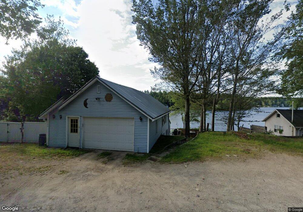
2166 Franklin Pierce Hwy Barrington, NH 03825
Estimated Value: $395,015 - $463,000
2
Beds
1
Bath
1,395
Sq Ft
$306/Sq Ft
Est. Value
About This Home
This home is located at 2166 Franklin Pierce Hwy, Barrington, NH 03825 and is currently estimated at $426,504, approximately $305 per square foot. 2166 Franklin Pierce Hwy is a home located in Strafford County with nearby schools including Barrington Elementary School and Barrington Middle School.
Ownership History
Date
Name
Owned For
Owner Type
Purchase Details
Closed on
Nov 7, 2011
Sold by
Stgermain Roland C
Bought by
Hale Stephen R
Current Estimated Value
Home Financials for this Owner
Home Financials are based on the most recent Mortgage that was taken out on this home.
Original Mortgage
$128,000
Outstanding Balance
$87,536
Interest Rate
4.08%
Mortgage Type
Purchase Money Mortgage
Estimated Equity
$338,968
Create a Home Valuation Report for This Property
The Home Valuation Report is an in-depth analysis detailing your home's value as well as a comparison with similar homes in the area
Home Values in the Area
Average Home Value in this Area
Purchase History
| Date | Buyer | Sale Price | Title Company |
|---|---|---|---|
| Hale Stephen R | $182,000 | -- |
Source: Public Records
Mortgage History
| Date | Status | Borrower | Loan Amount |
|---|---|---|---|
| Open | Hale Stephen R | $128,000 |
Source: Public Records
Tax History Compared to Growth
Tax History
| Year | Tax Paid | Tax Assessment Tax Assessment Total Assessment is a certain percentage of the fair market value that is determined by local assessors to be the total taxable value of land and additions on the property. | Land | Improvement |
|---|---|---|---|---|
| 2024 | $5,794 | $329,400 | $240,000 | $89,400 |
| 2023 | $7,280 | $436,200 | $240,000 | $196,200 |
| 2022 | $6,809 | $343,000 | $192,000 | $151,000 |
| 2021 | $6,689 | $343,000 | $192,000 | $151,000 |
| 2020 | $5,986 | $262,900 | $132,800 | $130,100 |
| 2019 | $5,960 | $262,900 | $132,800 | $130,100 |
| 2018 | $6,183 | $249,500 | $132,800 | $116,700 |
| 2017 | $6,008 | $249,500 | $132,800 | $116,700 |
| 2016 | $6,187 | $237,600 | $132,800 | $104,800 |
| 2015 | $5,874 | $232,900 | $132,800 | $100,100 |
| 2014 | $5,597 | $232,900 | $132,800 | $100,100 |
| 2013 | $6,161 | $274,300 | $185,000 | $89,300 |
Source: Public Records
Map
Nearby Homes
- 2184 Franklin Pierce Hwy
- 249 Cooper Hill Rd
- 31 Green St
- 295 1st New Hampshire Turnpike
- 108 Lucas Pond Rd
- 62 Freeman Hall Rd
- 28-1 Range Rd
- Lot 3 the Woodlands at Merry Hill
- Lot 1 the Woodlands at Merry Hill
- 27 Revolutionary Ln
- 85 Priest Rd
- 5 Liberty Ln
- Map 3 Lot 18-2b and 18-2c Water St
- 11 Drake Hill Rd
- Lot 70 Homestead Ln
- Lot 77 Homestead Ln
- 278 Stage Rd
- 35 Merry Hill Rd
- 3 Fire Rd Unit 151
- M37 L40 Beaver Rd
- 2166 Franklin Pierce Hwy
- 2160 Franklin Pierce Hwy
- 27 U S 202
- 2161 Franklin Pierce Hwy
- 2167 Franklin Pierce Hwy
- 16 Franklin Pierce Hwy
- 2158 Franklin Pierce Hwy
- 2173 Franklin Pierce Hwy
- 43 Route 202
- 23 Barrington Oaks
- 2156 Franklin Pierce Hwy
- 58 Barrington Oaks
- 19 Route 202
- 2180 Franklin Pierce Hwy
- 2154 Franklin Pierce Hwy
- 2169 Franklin Pierce Hwy
- 27 Rt 202
- 2185 Franklin Pierce Hwy
- 14 R Barrington Rd
- 2147 Franklin Pierce Hwy