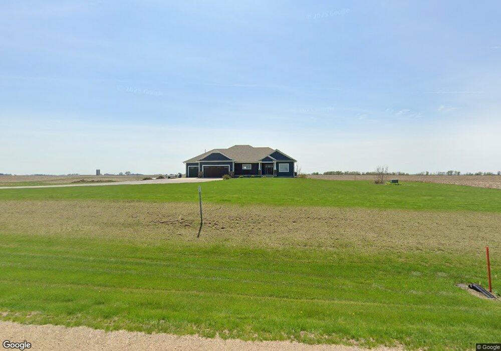
2168 Highway 130 Bennett, IA 52721
Estimated Value: $552,000 - $600,000
4
Beds
3
Baths
1,971
Sq Ft
$292/Sq Ft
Est. Value
About This Home
This home is located at 2168 Highway 130, Bennett, IA 52721 and is currently estimated at $575,614, approximately $292 per square foot. 2168 Highway 130 is a home with nearby schools including Bennett Elementary School.
Ownership History
Date
Name
Owned For
Owner Type
Purchase Details
Closed on
Nov 26, 2024
Sold by
Kirk Jessica Ann and Needham Jessica Ann
Bought by
Lovin Harold E and Lovin Peggy A
Current Estimated Value
Home Financials for this Owner
Home Financials are based on the most recent Mortgage that was taken out on this home.
Original Mortgage
$440,000
Outstanding Balance
$435,284
Interest Rate
6.72%
Mortgage Type
New Conventional
Estimated Equity
$140,330
Purchase Details
Closed on
Mar 4, 2021
Sold by
Louis Kirk Jr Doyle
Bought by
Kirk Jessica Ann
Purchase Details
Closed on
Mar 28, 2017
Sold by
Timmerman Fairview Farm Inc
Bought by
Kirk Jessica A and Kirk Doyle L
Create a Home Valuation Report for This Property
The Home Valuation Report is an in-depth analysis detailing your home's value as well as a comparison with similar homes in the area
Home Values in the Area
Average Home Value in this Area
Purchase History
| Date | Buyer | Sale Price | Title Company |
|---|---|---|---|
| Lovin Harold E | $550,000 | None Listed On Document | |
| Kirk Jessica Ann | -- | None Listed On Document | |
| Kirk Jessica A | -- | None Available |
Source: Public Records
Mortgage History
| Date | Status | Borrower | Loan Amount |
|---|---|---|---|
| Open | Lovin Harold E | $440,000 |
Source: Public Records
Tax History Compared to Growth
Tax History
| Year | Tax Paid | Tax Assessment Tax Assessment Total Assessment is a certain percentage of the fair market value that is determined by local assessors to be the total taxable value of land and additions on the property. | Land | Improvement |
|---|---|---|---|---|
| 2025 | $5,562 | $545,440 | $68,400 | $477,040 |
| 2024 | $5,562 | $541,600 | $81,800 | $459,800 |
| 2023 | $5,414 | $526,640 | $81,800 | $444,840 |
| 2022 | $4,996 | $445,850 | $58,050 | $387,800 |
| 2021 | $4,996 | $445,850 | $58,050 | $387,800 |
| 2020 | $4,632 | $396,310 | $51,600 | $344,710 |
| 2019 | $4,380 | $375,190 | $0 | $0 |
| 2018 | $60 | $5,540 | $0 | $0 |
| 2017 | $60 | $5,980 | $0 | $0 |
Source: Public Records
Map
Nearby Homes
- 235 Main St
- Lot 37 280th St
- Lot 42 280th St
- Lot 38 280th St
- Lot 14 Linda Ln
- Lot 13 Linda Ln
- Lot 29 Rhonda Rd
- Lot 33 Rhonda Rd
- Lot 26 Rhonda Rd
- Lot 34 Rhonda Rd
- Lot 35 Rhonda Rd
- Lot 36 Rhonda Rd
- Lot 27 Rhonda Rd
- Lot 30 Rhonda Rd
- 2239 290th St
- 829 Union Ave
- 5138 306th St
- 101 Augusta Dr
- 101-1 Augusta Dr
- 98 1st St