2168 Lennox Ln Coggon, IA 52218
Estimated Value: $271,000 - $527,000
3
Beds
3
Baths
1,795
Sq Ft
$240/Sq Ft
Est. Value
About This Home
This home is located at 2168 Lennox Ln, Coggon, IA 52218 and is currently estimated at $431,402, approximately $240 per square foot. 2168 Lennox Ln is a home with nearby schools including North Linn Elementary School, North-Linn Middle School, and North-Linn Senior High School.
Ownership History
Date
Name
Owned For
Owner Type
Purchase Details
Closed on
Apr 27, 2001
Sold by
Carpenter Paul W
Bought by
Ciha Kevin D and Ciha Lisa A
Current Estimated Value
Home Financials for this Owner
Home Financials are based on the most recent Mortgage that was taken out on this home.
Original Mortgage
$55,000
Interest Rate
6.95%
Mortgage Type
Purchase Money Mortgage
Create a Home Valuation Report for This Property
The Home Valuation Report is an in-depth analysis detailing your home's value as well as a comparison with similar homes in the area
Home Values in the Area
Average Home Value in this Area
Purchase History
| Date | Buyer | Sale Price | Title Company |
|---|---|---|---|
| Ciha Kevin D | $64,500 | -- |
Source: Public Records
Mortgage History
| Date | Status | Borrower | Loan Amount |
|---|---|---|---|
| Closed | Ciha Kevin D | $55,000 |
Source: Public Records
Tax History Compared to Growth
Tax History
| Year | Tax Paid | Tax Assessment Tax Assessment Total Assessment is a certain percentage of the fair market value that is determined by local assessors to be the total taxable value of land and additions on the property. | Land | Improvement |
|---|---|---|---|---|
| 2025 | $3,642 | $335,600 | $1,300 | $334,300 |
| 2024 | $3,362 | $342,800 | $24,600 | $318,200 |
| 2023 | $3,362 | $319,300 | $1,100 | $318,200 |
| 2022 | $3,350 | $270,700 | $17,700 | $253,000 |
| 2021 | $3,186 | $270,700 | $17,700 | $253,000 |
| 2020 | $3,186 | $235,300 | $1,500 | $233,800 |
| 2019 | $3,054 | $218,900 | $2,100 | $216,800 |
| 2018 | $3,100 | $218,900 | $2,100 | $216,800 |
| 2017 | $3,282 | $220,800 | $2,400 | $218,400 |
| 2016 | $3,398 | $220,800 | $2,400 | $218,400 |
| 2015 | $3,444 | $221,000 | $2,600 | $218,400 |
| 2014 | $3,306 | $221,000 | $2,600 | $218,400 |
| 2013 | $3,224 | $221,000 | $2,600 | $218,400 |
Source: Public Records
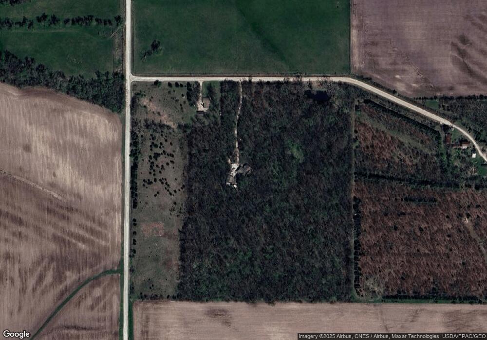
Map
Nearby Homes
- 113 E Vinton St
- 110 E Linn St
- 403 3rd St S
- 321 3rd St S
- 130 3rd Ave E
- 215 2nd St N
- 104 5th Ave Ct
- 100 5th Ave Ct
- 517 E Linn St
- 531 E Linn St
- 5050 Shady Oak Ave
- 0 Parcel: 03104-02001-00000 Unit 2502368
- 4889 Valley Farm Rd
- 1900 Maine Ridge Rd
- 504 Prairie Hills Dr
- 257 5th St N
- 29 5th St N
- 43 River St S
- 56 North Ave
- 832 E Main St
- 2174 Lennox Ln
- 2117 Lennox Ln
- 5451 Pool Rd
- 2193 Hutchinson Rd
- 2155 Wapsie Y Rd
- 2033 Wapsie Y Rd
- 2050 Hutchinson Rd
- 2233 Seven Hills Rd
- 2000 Valley Farm Ln
- 2238 Hutchinson Rd
- 2246 Seven Hills Rd
- 5569 Sutton Rd
- 1998 Valley Farm Ln
- 1998 Valley Farm Ln
- 2249 Hutchinson Rd
- 2260 Seven Hills Rd
- 5681 Pering Ridge Rd
- 2071 Wapsie Y Rd
- 2277 Hutchinson Rd
- 2287 Seven Hills Rd