21686 Lone Tree Rd Anderson, CA 96007
Estimated Value: $325,000 - $432,000
2
Beds
1
Bath
1,354
Sq Ft
$263/Sq Ft
Est. Value
About This Home
This home is located at 21686 Lone Tree Rd, Anderson, CA 96007 and is currently estimated at $355,738, approximately $262 per square foot. 21686 Lone Tree Rd is a home located in Shasta County with nearby schools including Anderson Heights Elementary School, Meadow Lane Elementary School, and Anderson Middle School.
Ownership History
Date
Name
Owned For
Owner Type
Purchase Details
Closed on
Oct 23, 2013
Sold by
Littlefield Daniel G and Littlefield Linda M
Bought by
Stone Steven Michael and Stone Kristy Lynn
Current Estimated Value
Purchase Details
Closed on
Sep 28, 2004
Sold by
Smith Marion Elton
Bought by
Littlefield Daniel G and Littlefield Linda M
Home Financials for this Owner
Home Financials are based on the most recent Mortgage that was taken out on this home.
Original Mortgage
$138,125
Interest Rate
5.77%
Mortgage Type
Unknown
Purchase Details
Closed on
Apr 22, 2002
Sold by
Smith Marion E
Bought by
Smith Marion Elton
Create a Home Valuation Report for This Property
The Home Valuation Report is an in-depth analysis detailing your home's value as well as a comparison with similar homes in the area
Purchase History
| Date | Buyer | Sale Price | Title Company |
|---|---|---|---|
| Stone Steven Michael | $163,000 | Placer Title Company | |
| Littlefield Daniel G | $162,500 | Placer Title Company | |
| Smith Marion Elton | -- | -- |
Source: Public Records
Mortgage History
| Date | Status | Borrower | Loan Amount |
|---|---|---|---|
| Previous Owner | Littlefield Daniel G | $138,125 |
Source: Public Records
Tax History
| Year | Tax Paid | Tax Assessment Tax Assessment Total Assessment is a certain percentage of the fair market value that is determined by local assessors to be the total taxable value of land and additions on the property. | Land | Improvement |
|---|---|---|---|---|
| 2025 | $1,787 | $159,352 | $36,771 | $122,581 |
| 2024 | $1,752 | $156,228 | $36,050 | $120,178 |
| 2023 | $1,752 | $153,166 | $35,344 | $117,822 |
| 2022 | $1,714 | $150,163 | $34,651 | $115,512 |
| 2021 | $1,704 | $147,220 | $33,972 | $113,248 |
| 2020 | $1,663 | $145,711 | $33,624 | $112,087 |
| 2019 | $1,643 | $142,855 | $32,965 | $109,890 |
| 2018 | $1,613 | $140,055 | $32,319 | $107,736 |
| 2017 | $1,616 | $137,310 | $31,686 | $105,624 |
| 2016 | $1,482 | $134,618 | $31,065 | $103,553 |
| 2015 | $1,489 | $132,597 | $30,599 | $101,998 |
| 2014 | $1,455 | $130,590 | $30,136 | $100,454 |
Source: Public Records
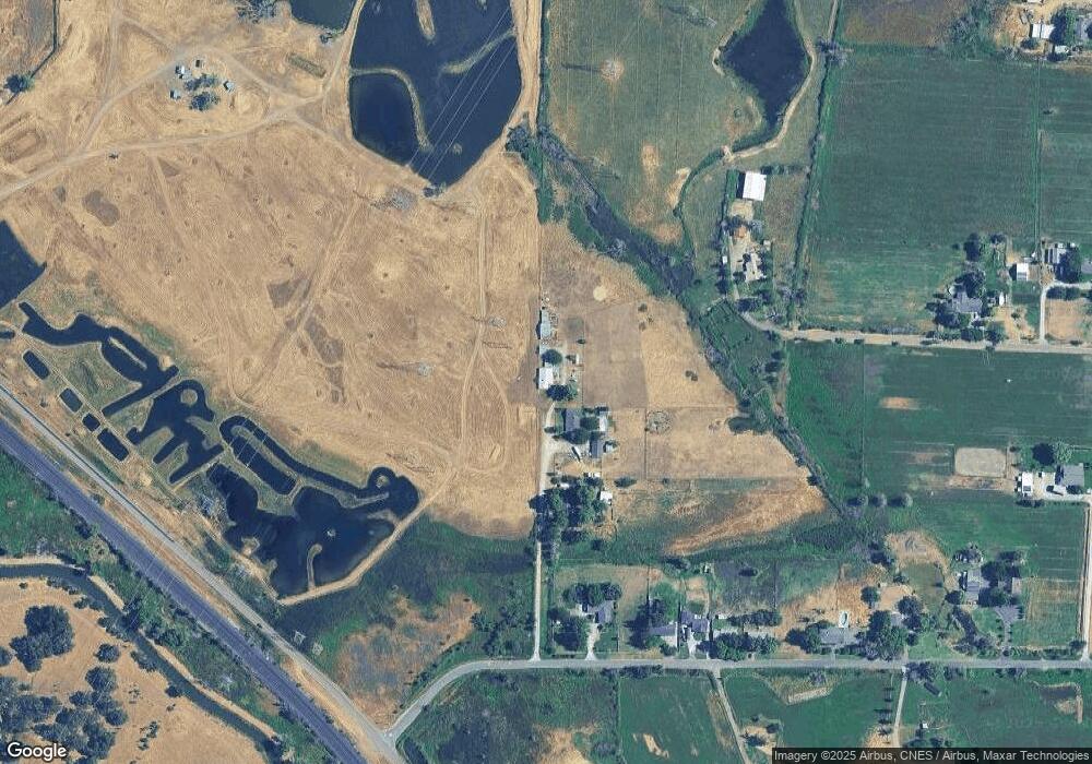
Map
Nearby Homes
- 22099 Concept Way
- 22148 Lone Tree Rd
- 5078 Balls Ferry Rd
- 4832 Balls Ferry Rd
- 5210 Balls Ferry Rd
- 5340 Balls Ferry Rd
- 5200 Country Farms Ln
- 3850 Main St Unit 11
- 3850 Main St
- 20733 Edgewater St
- 3721 Drybread Rd
- 20864 Gun Barrel Ct
- 3621 Rhonda Rd
- Lot 3 Rhonda Rd
- Lot 2 Rhonda Rd
- Lot 4 Rhonda Rd
- 20306 Mulholland Ridge Dr
- 22894 Blue Jay Ln
- 22890 Blue Jay Ln
- 21133 Ronald St
- 21688 Lone Tree Rd
- 21690 Lone Tree Rd
- 21692 Lone Tree Rd
- 21710 Lone Tree Rd
- 2235 Lone Tree Rd
- 21748 Lone Tree Rd
- 4443 Hereford Way
- 21766 Lone Tree Rd
- 21719 Lone Tree Rd
- 4431 Hereford Way
- 4301 Panorama Point Rd
- 21789 Lone Tree Rd
- 4395 Hereford Way
- 21846 Lone Tree Rd
- 21848 Lone Tree Rd
- 4506 Panorama Point Rd
- 4506 Panorama Point Rd
- 21855 Lone Tree Rd
- 4354 Hereford Way
- 4359 Hereford Way
Your Personal Tour Guide
Ask me questions while you tour the home.