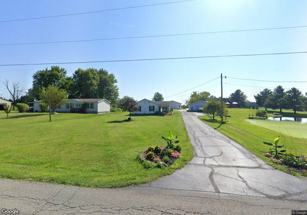
2169 Winchester West Rd Bucyrus, OH 44820
Estimated Value: $200,000 - $457,805
2
Beds
1
Bath
1,190
Sq Ft
$243/Sq Ft
Est. Value
About This Home
This home is located at 2169 Winchester West Rd, Bucyrus, OH 44820 and is currently estimated at $289,268, approximately $243 per square foot. 2169 Winchester West Rd is a home located in Crawford County with nearby schools including Hannah Crawford Elementary School (PK-2), Hannah Crawford Elementary School (3 - 5), and William Crawford Intermediate School.
Ownership History
Date
Name
Owned For
Owner Type
Purchase Details
Closed on
Aug 1, 2019
Sold by
Robinett Michael D
Bought by
Robinett Michael D and Robinett Monica J
Current Estimated Value
Home Financials for this Owner
Home Financials are based on the most recent Mortgage that was taken out on this home.
Original Mortgage
$230,000
Outstanding Balance
$203,243
Interest Rate
3.8%
Mortgage Type
Construction
Estimated Equity
$86,025
Purchase Details
Closed on
Apr 26, 2016
Sold by
Malone Leatha A
Bought by
Robinett Michael D
Purchase Details
Closed on
Oct 3, 2012
Sold by
Malone Leatha A
Bought by
Kct Farms Ltd
Create a Home Valuation Report for This Property
The Home Valuation Report is an in-depth analysis detailing your home's value as well as a comparison with similar homes in the area
Home Values in the Area
Average Home Value in this Area
Purchase History
| Date | Buyer | Sale Price | Title Company |
|---|---|---|---|
| Robinett Michael D | -- | Acs Title Bucyrus | |
| Robinett Michael D | $86,000 | Attorney | |
| Kct Farms Ltd | $9,000 | Acs Title Bucyrus |
Source: Public Records
Mortgage History
| Date | Status | Borrower | Loan Amount |
|---|---|---|---|
| Open | Robinett Michael D | $230,000 | |
| Closed | Robinett Michael D | $0 |
Source: Public Records
Tax History Compared to Growth
Tax History
| Year | Tax Paid | Tax Assessment Tax Assessment Total Assessment is a certain percentage of the fair market value that is determined by local assessors to be the total taxable value of land and additions on the property. | Land | Improvement |
|---|---|---|---|---|
| 2024 | $6,332 | $181,900 | $13,430 | $168,470 |
| 2023 | $6,334 | $181,900 | $10,850 | $171,050 |
| 2022 | $7,528 | $181,900 | $10,850 | $171,050 |
| 2021 | $7,938 | $181,900 | $10,850 | $171,050 |
| 2020 | $871 | $21,070 | $7,570 | $13,500 |
| 2019 | $908 | $21,070 | $7,570 | $13,500 |
| 2018 | $908 | $21,070 | $7,570 | $13,500 |
| 2017 | $544 | $22,440 | $7,570 | $14,870 |
| 2016 | $547 | $22,440 | $7,570 | $14,870 |
| 2015 | $537 | $22,440 | $7,570 | $14,870 |
| 2014 | $544 | $22,440 | $7,570 | $14,870 |
| 2013 | $544 | $22,440 | $7,570 | $14,870 |
Source: Public Records
Map
Nearby Homes
- 1465 Oakridge Dr
- 1267 N Dundee Trail
- 2208 State Route 19
- 148 Kincora Dr
- 111 Kincora Dr
- 1320 E Southern Ave
- 948 S Highland Ave
- 318 Charlotte St
- 419 Short St
- 1211 S Sandusky Ave
- 1021 S Sandusky Ave
- 900 S Spring St
- 452 Pleasant Ln
- 708 S Sandusky Ave
- 346 Hopley Ave
- 583 Rogers St
- 550 S Walnut St
- 1555 Rosedale Ave
- 444 Woodlawn Ave
- 1220 E Warren St
- 2169 Winchester West Rd
- 2169 Winchester West Rd
- 2171 Winchester Rd W
- 2171 Winchester West Rd
- 3209 Harper Rd
- 3220 Harper Rd
- 3235 Harper Rd
- 3235 Harper Rd
- 2075 Whetstone St
- 2020 Whetstone St
- 2055 Whetstone St
- 3250 Harper Rd
- 2010 Whetstone St
- 2103 Winchester West Rd
- 3277 Harper Rd
- 3277 Harper Rd
- 2025 Whetstone St
- 1980 Whetstone St
- 1932 Whetstone St
- 1900 Whetstone St