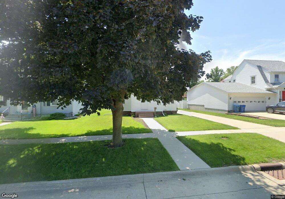
217 10th St de Witt, IA 52742
Estimated Value: $123,000 - $194,000
2
Beds
1
Bath
828
Sq Ft
$203/Sq Ft
Est. Value
About This Home
This home is located at 217 10th St, de Witt, IA 52742 and is currently estimated at $167,980, approximately $202 per square foot. 217 10th St is a home located in Clinton County with nearby schools including Ekstrand Elementary School, Central Dewitt Intermediate School, and Central Dewitt Middle School.
Ownership History
Date
Name
Owned For
Owner Type
Purchase Details
Closed on
Jan 22, 2016
Sold by
Long Christine M and Muks Bryan S
Bought by
Muhs Bryan S and Muhs Christine M
Current Estimated Value
Purchase Details
Closed on
Sep 30, 2009
Sold by
Frahm Duane A
Bought by
Long Christine M
Home Financials for this Owner
Home Financials are based on the most recent Mortgage that was taken out on this home.
Original Mortgage
$66,767
Outstanding Balance
$43,665
Interest Rate
5.19%
Mortgage Type
FHA
Estimated Equity
$124,315
Create a Home Valuation Report for This Property
The Home Valuation Report is an in-depth analysis detailing your home's value as well as a comparison with similar homes in the area
Home Values in the Area
Average Home Value in this Area
Purchase History
| Date | Buyer | Sale Price | Title Company |
|---|---|---|---|
| Muhs Bryan S | -- | None Available | |
| Long Christine M | $68,000 | None Available |
Source: Public Records
Mortgage History
| Date | Status | Borrower | Loan Amount |
|---|---|---|---|
| Open | Long Christine M | $66,767 |
Source: Public Records
Tax History Compared to Growth
Tax History
| Year | Tax Paid | Tax Assessment Tax Assessment Total Assessment is a certain percentage of the fair market value that is determined by local assessors to be the total taxable value of land and additions on the property. | Land | Improvement |
|---|---|---|---|---|
| 2025 | $2,340 | $145,230 | $18,410 | $126,820 |
| 2024 | $2,340 | $137,400 | $18,410 | $118,990 |
| 2023 | $2,144 | $137,400 | $18,410 | $118,990 |
| 2022 | $1,574 | $122,380 | $18,410 | $103,970 |
| 2021 | $1,534 | $86,460 | $18,130 | $68,330 |
| 2020 | $1,534 | $80,520 | $18,130 | $62,390 |
| 2019 | $1,472 | $77,550 | $0 | $0 |
| 2018 | $1,432 | $77,550 | $0 | $0 |
| 2017 | $1,432 | $77,550 | $0 | $0 |
| 2016 | $1,352 | $73,600 | $0 | $0 |
| 2015 | $1,352 | $73,600 | $0 | $0 |
| 2014 | $1,370 | $73,600 | $0 | $0 |
| 2013 | $1,344 | $0 | $0 | $0 |
Source: Public Records
Map
Nearby Homes
- 910 4th Ave
- 407 E 10th St
- 401 10th St
- 0 285th St Old Highway 61 Unit parcel 1808590000
- 285th Ave Old Hwy 61 Unit Parcels 1808590000/
- 285th Ave Old Hwy 61 Unit Parcel-1808600000/1
- 1323 5th Ave
- 709 11th St
- 401 3rd Ave
- 0 9th St
- 824 7th St
- 715 5th St
- 510 2nd St
- 1012 6th St
- 1244 Circle Dr
- 503 1st St
- 00 3rd St
- 1104 15th St
- 1217 7th St
- 306 13th Ave