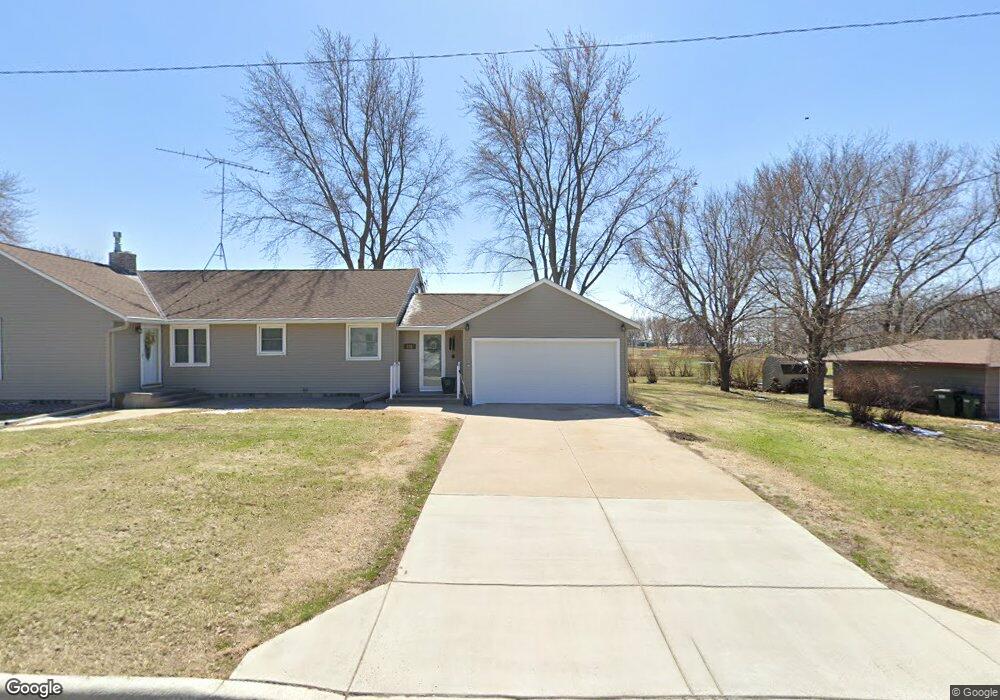
217 3rd St S Brownton, MN 55312
Estimated Value: $177,000 - $224,000
3
Beds
2
Baths
1,483
Sq Ft
$132/Sq Ft
Est. Value
About This Home
This home is located at 217 3rd St S, Brownton, MN 55312 and is currently estimated at $195,185, approximately $131 per square foot. 217 3rd St S is a home located in McLeod County with nearby schools including Lincoln Elementary School, Lakeside Elementary School, and Glencoe-Silver Lake Jr. High School.
Ownership History
Date
Name
Owned For
Owner Type
Purchase Details
Closed on
Dec 27, 2021
Sold by
Monson Ronald Ronald
Bought by
Monson Jesse Jesse
Current Estimated Value
Home Financials for this Owner
Home Financials are based on the most recent Mortgage that was taken out on this home.
Original Mortgage
$55,000
Outstanding Balance
$50,649
Interest Rate
3.05%
Estimated Equity
$144,536
Purchase Details
Closed on
Aug 21, 2015
Sold by
Davis Carl Carl
Bought by
Monson Ronald Ronald
Home Financials for this Owner
Home Financials are based on the most recent Mortgage that was taken out on this home.
Original Mortgage
$40,000
Interest Rate
3.93%
Purchase Details
Closed on
Dec 13, 2012
Sold by
Minnesota Housing Finance Agency
Bought by
Davis Carol J and Davis Rebecca I
Purchase Details
Closed on
Mar 31, 2005
Sold by
Home State Bank
Bought by
Valiant Jennifer M
Create a Home Valuation Report for This Property
The Home Valuation Report is an in-depth analysis detailing your home's value as well as a comparison with similar homes in the area
Purchase History
| Date | Buyer | Sale Price | Title Company |
|---|---|---|---|
| Monson Jesse Jesse | $55,000 | -- | |
| Monson Ronald Ronald | $43,000 | -- | |
| Davis Carol J | -- | Burnet Title Bloomington | |
| Davis Carol Carol | $28,800 | -- | |
| Valiant Jennifer M | $110,000 | -- |
Source: Public Records
Mortgage History
| Date | Status | Borrower | Loan Amount |
|---|---|---|---|
| Open | Monson Jesse Jesse | $55,000 | |
| Closed | Monson Jesse Jesse | -- | |
| Previous Owner | Monson Ronald Ronald | $40,000 |
Source: Public Records
Tax History
| Year | Tax Paid | Tax Assessment Tax Assessment Total Assessment is a certain percentage of the fair market value that is determined by local assessors to be the total taxable value of land and additions on the property. | Land | Improvement |
|---|---|---|---|---|
| 2024 | $1,436 | $104,400 | $29,000 | $75,400 |
| 2023 | $1,322 | $98,400 | $29,000 | $69,400 |
| 2022 | $1,306 | $97,000 | $25,200 | $71,800 |
| 2021 | $1,330 | $83,600 | $22,000 | $61,600 |
| 2020 | $1,234 | $83,600 | $22,000 | $61,600 |
| 2019 | $1,064 | $75,700 | $19,900 | $55,800 |
| 2018 | $1,076 | $0 | $0 | $0 |
| 2017 | $1,006 | $0 | $0 | $0 |
| 2016 | $964 | $0 | $0 | $0 |
| 2015 | $1,182 | $0 | $0 | $0 |
| 2014 | -- | $0 | $0 | $0 |
Source: Public Records
Map
Nearby Homes
- xxx Lot 3 Division St W
- 237 5th St N
- 0 Plum Ave Unit NOC6335195
- Lot 2 U S Highway 212
- XXX US Hwy 212
- xxx Lot 2 Us Hwy 212
- 16452 90th St
- 0 57th St
- 12221 Page Ave
- 7900 Lace Ave
- 7900 Lace Ave N
- 12893 County Road 7
- Lot 2 Tagus Ave
- 630 Mowbray St
- 1199 E 2nd St
- 22447 150th St
- XXX 455th Ave
- XXX Airport Rd
- 511 Southfork Cir SE
- 1400 Sherwood St SE
Your Personal Tour Guide
Ask me questions while you tour the home.