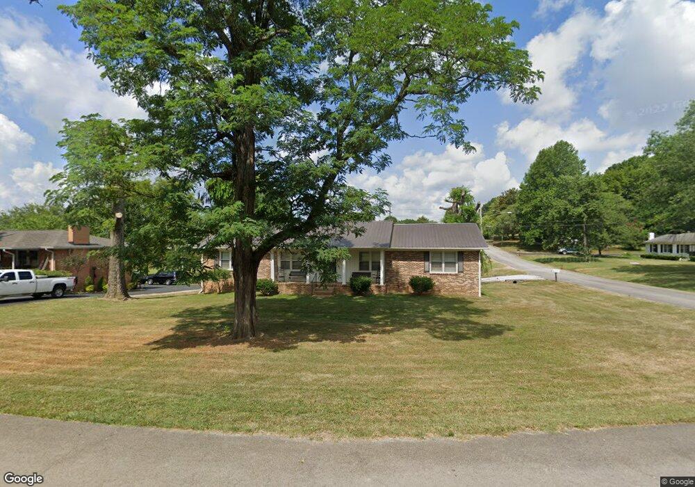
217 Apache Trail Columbia, TN 38401
--
Bed
2
Baths
1,650
Sq Ft
11,326
Sq Ft
About This Home
This home is located at 217 Apache Trail, Columbia, TN 38401. 217 Apache Trail is a home located in Maury County with nearby schools including R. Howell Elementary School, E.A. Cox Middle School, and Columbia Central High School.
Create a Home Valuation Report for This Property
The Home Valuation Report is an in-depth analysis detailing your home's value as well as a comparison with similar homes in the area
Home Values in the Area
Average Home Value in this Area
Tax History
| Year | Tax Paid | Tax Assessment Tax Assessment Total Assessment is a certain percentage of the fair market value that is determined by local assessors to be the total taxable value of land and additions on the property. | Land | Improvement |
|---|---|---|---|---|
| 2022 | $1,732 | $63,325 | $11,875 | $51,450 |
Source: Public Records
Map
Nearby Homes
- 204 Cheyenne Trail
- 124 N Laurel Cir
- 303 Lake Dr
- 98 Caldwell Dr
- 1403 Walker Way
- 702 Dallas Dr
- 503 Clifford Heights
- 1416 Walker Way
- 310 Lake Dr
- 809 Dallas Dr
- 400 Buchanan Ct
- 1409 Nashville Hwy
- 202 Jackson Heights Rd
- 401 Caldwell Dr
- 204 Sharon Cir
- 213 Jackson Heights Rd
- 541 Burchell Ln
- 426 Caldwell Dr
- 857 Longleaf Ln
- 221 Jackson Heights Rd
- 215 Apache Trail
- 305 Cheyenne Trail
- 214 Apache Trail
- 300 Cheyenne Trail
- 213 Apache Trail
- 304 Cheyenne Trail
- 212 Apache Trail
- 218 Cheyenne Trail
- 210 Apache Trail
- 211 Apache Trail
- 216 Cheyenne Trail
- 207 Cheyenne Trail
- 205 Cheyenne Trail
- 306 Cheyenne Trail
- 216 Creek Trail
- 214 Creek Trail
- 203 Cheyenne Trail
- 222 Creek Trail
- 214 Cheyenne Trail
- 220 Creek Trail
Your Personal Tour Guide
Ask me questions while you tour the home.