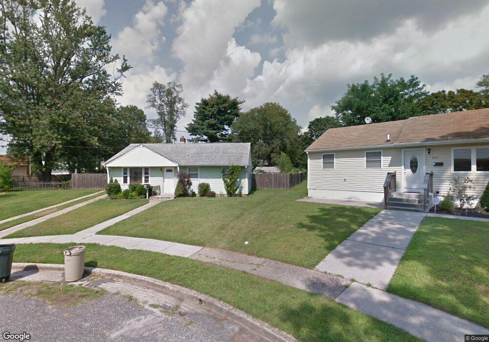
217 Arnold Place Magnolia, NJ 08049
Estimated Value: $262,000 - $300,000
--
Bed
--
Bath
912
Sq Ft
$313/Sq Ft
Est. Value
About This Home
This home is located at 217 Arnold Place, Magnolia, NJ 08049 and is currently estimated at $285,690, approximately $313 per square foot. 217 Arnold Place is a home located in Camden County with nearby schools including Magnolia Elementary School and Sterling High School.
Ownership History
Date
Name
Owned For
Owner Type
Purchase Details
Closed on
Jan 28, 2005
Sold by
Olive M Martin Est Of
Bought by
Catania Christopher and Inzaris Melissa
Current Estimated Value
Home Financials for this Owner
Home Financials are based on the most recent Mortgage that was taken out on this home.
Original Mortgage
$129,990
Outstanding Balance
$66,159
Interest Rate
5.77%
Mortgage Type
Purchase Money Mortgage
Estimated Equity
$219,531
Create a Home Valuation Report for This Property
The Home Valuation Report is an in-depth analysis detailing your home's value as well as a comparison with similar homes in the area
Home Values in the Area
Average Home Value in this Area
Purchase History
| Date | Buyer | Sale Price | Title Company |
|---|---|---|---|
| Catania Christopher | $129,990 | -- |
Source: Public Records
Mortgage History
| Date | Status | Borrower | Loan Amount |
|---|---|---|---|
| Open | Catania Christopher | $129,990 |
Source: Public Records
Tax History Compared to Growth
Tax History
| Year | Tax Paid | Tax Assessment Tax Assessment Total Assessment is a certain percentage of the fair market value that is determined by local assessors to be the total taxable value of land and additions on the property. | Land | Improvement |
|---|---|---|---|---|
| 2025 | $5,833 | $121,500 | $49,700 | $71,800 |
| 2024 | $5,691 | $121,500 | $49,700 | $71,800 |
| 2023 | $5,691 | $121,500 | $49,700 | $71,800 |
| 2022 | $5,543 | $121,500 | $49,700 | $71,800 |
| 2021 | $5,489 | $121,500 | $49,700 | $71,800 |
| 2020 | $5,385 | $121,500 | $49,700 | $71,800 |
| 2019 | $5,283 | $121,500 | $49,700 | $71,800 |
| 2018 | $5,176 | $121,500 | $49,700 | $71,800 |
| 2017 | $5,025 | $121,500 | $49,700 | $71,800 |
| 2016 | $4,884 | $121,500 | $49,700 | $71,800 |
| 2015 | $4,715 | $121,500 | $49,700 | $71,800 |
| 2014 | $4,649 | $121,500 | $49,700 | $71,800 |
Source: Public Records
Map
Nearby Homes
- 115 Phillips Ave
- 59 E Oak Ave
- 431 N White Horse Pike
- 26 Center Oak Ave
- 22 Center Oak Ave
- 430 Brooke Ave
- 207 NE Atlantic Ave
- 130 E Evesham Ave
- 606 Lincoln Ave
- 130 W Monroe Ave
- 128 E Oak Ave
- 172 E Charleston Ave
- 178 E Charleston Ave
- 26 E Phoenix Ave
- 27 E Phoenix Ave
- 322 W Washington Ave
- 121 Lafayette Ave
- 313 E Washington Ave
- 348 Silk St
- 114 Jefferson Ave
- 215 Arnold Place
- 206 Paulson Dr
- 219 Arnold Place
- 204 Paulson Dr
- 208 Paulson Dr
- 604 Fern Ave
- 606 Fern Ave
- 602 Fern Ave
- 211 Phillips Ave
- 213 Arnold Place
- 210 Paulson Dr
- 209 Phillips Ave
- 221 Arnold Place
- 207 Phillips Ave
- 223 Arnold Place
- 212 Paulson Dr
- 225 Phillips Ave
- 205 Paulson Dr
- 207 Paulson Dr
- 203 Paulson Dr