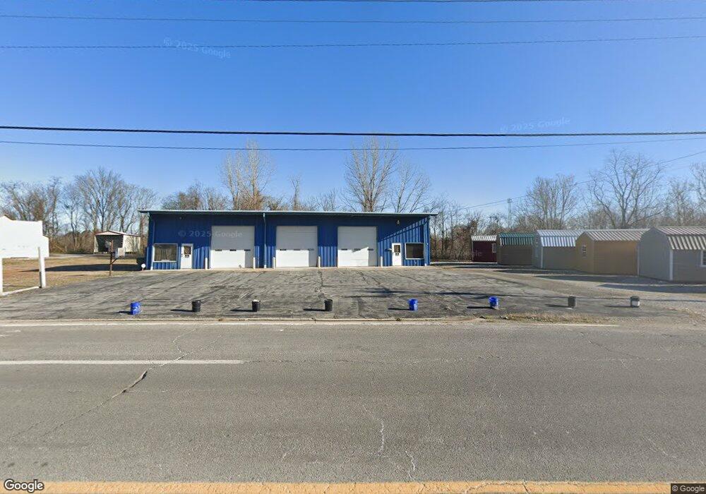
217 Beersheba Hwy McMinnville, TN 37110
Estimated Value: $298,287
--
Bed
1
Bath
3,200
Sq Ft
$93/Sq Ft
Est. Value
About This Home
This home is located at 217 Beersheba Hwy, McMinnville, TN 37110 and is currently estimated at $298,287, approximately $93 per square foot. 217 Beersheba Hwy is a home located in Warren County with nearby schools including Bobby Ray Memorial Elementary School, Warren County Middle School, and Warren County High School.
Ownership History
Date
Name
Owned For
Owner Type
Purchase Details
Closed on
Apr 1, 2021
Sold by
Johnston Mark A
Bought by
Haston Joey E and Haston Shannon L
Current Estimated Value
Purchase Details
Closed on
Aug 26, 2015
Sold by
Wimley Joyce Burch
Bought by
Johnston Mark A
Home Financials for this Owner
Home Financials are based on the most recent Mortgage that was taken out on this home.
Original Mortgage
$71,276
Interest Rate
4.02%
Mortgage Type
New Conventional
Purchase Details
Closed on
Nov 2, 2009
Sold by
Wimley Jimmy Wayne
Bought by
Wimley Jimy
Purchase Details
Closed on
Apr 20, 2001
Bought by
Wimley Jimmy Wayne
Purchase Details
Closed on
Aug 21, 1978
Bought by
Hunter Edna
Create a Home Valuation Report for This Property
The Home Valuation Report is an in-depth analysis detailing your home's value as well as a comparison with similar homes in the area
Home Values in the Area
Average Home Value in this Area
Purchase History
| Date | Buyer | Sale Price | Title Company |
|---|---|---|---|
| Haston Joey E | $200,000 | None Available | |
| Johnston Mark A | $107,000 | -- | |
| Wimley Jimy | $125,000 | -- | |
| Wimley Jimmy Wayne | $5,500 | -- | |
| Hunter Edna | -- | -- |
Source: Public Records
Mortgage History
| Date | Status | Borrower | Loan Amount |
|---|---|---|---|
| Previous Owner | Johnston Mark A | $71,276 |
Source: Public Records
Tax History Compared to Growth
Tax History
| Year | Tax Paid | Tax Assessment Tax Assessment Total Assessment is a certain percentage of the fair market value that is determined by local assessors to be the total taxable value of land and additions on the property. | Land | Improvement |
|---|---|---|---|---|
| 2025 | -- | $75,080 | $0 | $0 |
| 2024 | -- | $42,050 | $13,450 | $28,600 |
| 2023 | $1,710 | $42,050 | $13,450 | $28,600 |
| 2022 | $1,605 | $42,050 | $13,450 | $28,600 |
| 2021 | $1,558 | $42,050 | $13,450 | $28,600 |
| 2020 | $755 | $40,825 | $13,450 | $27,375 |
| 2019 | $1,739 | $40,200 | $13,125 | $27,075 |
| 2018 | $1,626 | $40,200 | $13,125 | $27,075 |
| 2017 | $1,672 | $41,325 | $13,125 | $28,200 |
| 2016 | $1,672 | $41,325 | $13,125 | $28,200 |
| 2015 | $1,672 | $41,325 | $13,125 | $28,200 |
| 2014 | $2,854 | $66,120 | $21,000 | $45,120 |
| 2013 | $2,854 | $69,850 | $0 | $0 |
Source: Public Records
Map
Nearby Homes
- 100 Holly St
- 510 Sparta St
- 102 W Sparta St
- 215 W Sparta St
- 110 Warren St
- 105 Warren St
- 209 S High St Unit 19
- 211 S High St Unit 22
- 308 Dekalb St
- 300 Dekalb St
- 126 Lance St
- 139 Lance St
- 122 Mount Leo Heights St
- 309 Locust St
- 107 Grundy St
- 108 Van Buren St
- 118 Van Buren St
- 488 Sunset Point Rd
- 635 N Spring St
- 108 King St