217 Bobcat Ridge Dr Unit 3547 Big Canoe, GA 30143
Estimated Value: $601,000 - $961,000
4
Beds
3
Baths
1,783
Sq Ft
$450/Sq Ft
Est. Value
About This Home
This home is located at 217 Bobcat Ridge Dr Unit 3547, Big Canoe, GA 30143 and is currently estimated at $801,512, approximately $449 per square foot. 217 Bobcat Ridge Dr Unit 3547 is a home located in Dawson County with nearby schools including Robinson Elementary School, Dawson County Junior High School, and Dawson County Middle School.
Ownership History
Date
Name
Owned For
Owner Type
Purchase Details
Closed on
Apr 26, 2021
Sold by
Earle Sanford N
Bought by
Horne John R and Horne Brenda Y
Current Estimated Value
Purchase Details
Closed on
Sep 20, 2013
Sold by
Obrien John A
Bought by
Earle Sanford N
Purchase Details
Closed on
Nov 22, 2006
Sold by
Big Canoe Co
Bought by
Pye William A
Purchase Details
Closed on
Dec 26, 2003
Sold by
Big Canoe Co Llc
Bought by
Brien John A O and Brien Theresa M
Create a Home Valuation Report for This Property
The Home Valuation Report is an in-depth analysis detailing your home's value as well as a comparison with similar homes in the area
Home Values in the Area
Average Home Value in this Area
Purchase History
| Date | Buyer | Sale Price | Title Company |
|---|---|---|---|
| Horne John R | $734,900 | None Available | |
| Earle Sanford N | $110,000 | -- | |
| Pye William A | $50,000 | -- | |
| Brien John A O | $210,000 | -- |
Source: Public Records
Tax History Compared to Growth
Tax History
| Year | Tax Paid | Tax Assessment Tax Assessment Total Assessment is a certain percentage of the fair market value that is determined by local assessors to be the total taxable value of land and additions on the property. | Land | Improvement |
|---|---|---|---|---|
| 2024 | $3,896 | $241,360 | $42,000 | $199,360 |
| 2023 | $3,893 | $241,360 | $42,000 | $199,360 |
| 2022 | $5,128 | $256,520 | $42,000 | $214,520 |
| 2021 | $5,006 | $223,280 | $42,000 | $181,280 |
| 2020 | $5,110 | $217,960 | $42,000 | $175,960 |
| 2019 | $4,778 | $202,200 | $42,000 | $160,200 |
| 2018 | $4,908 | $205,200 | $45,000 | $160,200 |
| 2017 | $4,413 | $184,505 | $40,000 | $144,505 |
| 2016 | $4,135 | $172,889 | $40,000 | $132,889 |
| 2015 | $4,268 | $172,889 | $40,000 | $132,889 |
| 2014 | $1,019 | $40,000 | $40,000 | $0 |
| 2013 | -- | $30,000 | $30,000 | $0 |
Source: Public Records
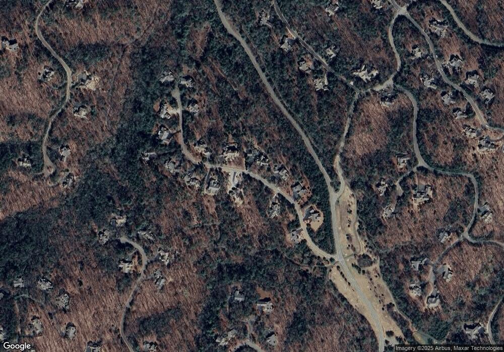
Map
Nearby Homes
- 98 Bobcat Ridge Dr
- 285 Bear Creek Dr
- 39 Bear Creek Dr
- 495 Bear Creek Dr
- 3285 Wood Poppy Dr
- 160 Bluestern Dr
- 442 Blazingstar Trail
- 199 Wood Poppy View
- 121 Sunuwa Way
- 44 Sassafras Ridge
- 331 Bluestern Dr SE
- 3461 Wild Pansy Ridge
- 46 Bee Balm Way
- 3356 Bee Balm Way
- 133 Cliff Fern Point
- 312 Wildcat Dr
- 0 Steve Tate Hwy Unit 24631406
- 159 Cinnamon Fern Ln
- 838 Wildcat Trail
- 68 Wood Fern Knoll
- 388 Bobcat Ridge Dr
- 126 Bobcat Ridge Dr
- 225 Bobcat Ridge Dr
- 3546 Bobcat Ridge Dr
- 466 Bear Creek Dr
- 3529 Bear Creek Dr
- 306 Bobcat Ridge Dr
- 251 Bobcat Ridge Dr
- 3552 Bobcat
- 359 Bobcat Ridge Dr
- 273 Bobcat Ridge Dr
- 57 Bobcat Ridge
- 3345 Bobcat Ridge
- 3515 Bear Creek Dr
- 3507 Bear Creek Dr
- 3555 Bobcat Ridge Dr
- 3549 Bobcat Ridge Dr
- 3545 Bobcat Ridge Dr
- 3556 Bobcat Ridge Dr
- 3551 Bobcat Ridge Dr