217 Bozarth Heights Rd Woodland, WA 98674
Estimated Value: $635,860 - $696,000
3
Beds
2
Baths
1,822
Sq Ft
$364/Sq Ft
Est. Value
About This Home
This home is located at 217 Bozarth Heights Rd, Woodland, WA 98674 and is currently estimated at $663,965, approximately $364 per square foot. 217 Bozarth Heights Rd is a home located in Cowlitz County with nearby schools including Woodland High School.
Ownership History
Date
Name
Owned For
Owner Type
Purchase Details
Closed on
Aug 30, 2005
Sold by
Vanblankenstein Steven and Vanblankenstein Van Blankenstein
Bought by
Mckinley Paul S and Mckinley Diane C
Current Estimated Value
Home Financials for this Owner
Home Financials are based on the most recent Mortgage that was taken out on this home.
Original Mortgage
$217,000
Outstanding Balance
$114,559
Interest Rate
5.64%
Mortgage Type
Fannie Mae Freddie Mac
Estimated Equity
$549,406
Create a Home Valuation Report for This Property
The Home Valuation Report is an in-depth analysis detailing your home's value as well as a comparison with similar homes in the area
Home Values in the Area
Average Home Value in this Area
Purchase History
| Date | Buyer | Sale Price | Title Company |
|---|---|---|---|
| Mckinley Paul S | $350,000 | Stewart Title Of Wes |
Source: Public Records
Mortgage History
| Date | Status | Borrower | Loan Amount |
|---|---|---|---|
| Open | Mckinley Paul S | $217,000 |
Source: Public Records
Tax History Compared to Growth
Tax History
| Year | Tax Paid | Tax Assessment Tax Assessment Total Assessment is a certain percentage of the fair market value that is determined by local assessors to be the total taxable value of land and additions on the property. | Land | Improvement |
|---|---|---|---|---|
| 2024 | $5,792 | $586,370 | $163,910 | $422,460 |
| 2023 | $5,339 | $536,090 | $147,660 | $388,430 |
| 2022 | $4,480 | $534,960 | $126,210 | $408,750 |
| 2021 | $4,497 | $421,980 | $108,800 | $313,180 |
| 2020 | $3,980 | $393,630 | $88,700 | $304,930 |
| 2019 | $3,260 | $342,357 | $86,116 | $256,241 |
| 2018 | $3,375 | $323,380 | $86,120 | $237,260 |
| 2017 | $2,851 | $288,700 | $82,020 | $206,680 |
| 2016 | $2,730 | $252,140 | $73,230 | $178,910 |
| 2015 | $2,298 | $237,210 | $71,790 | $165,420 |
| 2013 | -- | $164,070 | $41,240 | $122,830 |
Source: Public Records
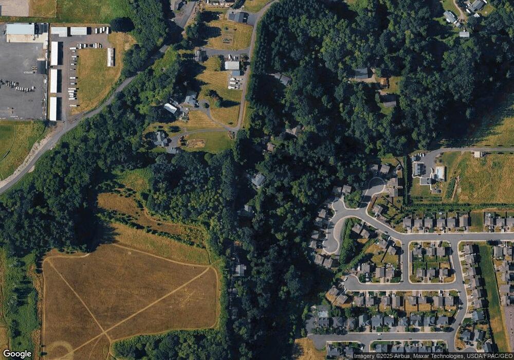
Map
Nearby Homes
- 1786 Clatsop St
- 336 York St
- 1776 Clover Ln
- 4130 Green Mountain Rd
- 369 Gun Club Rd Unit 48
- 369 Gun Club Rd Unit 101
- 369 Gun Club Rd Unit 70
- 369 Gun Club Rd Unit 53
- 369 Gun Club Rd Unit 117
- 369 Gun Club Rd Unit 114
- 605 Gun Club Rd
- 1850 Heartwood Dr
- 1833 Hawthorne Ct
- 284 Gun Club Rd
- 9565 Old Pacific Hwy
- 2216 Statesman Dr Unit Lot 46
- 2210 Statesman Dr Unit 44
- 1986 Meadowood Loop
- 2229 Ash St Unit Lot 83
- 2233 Ash St Unit Lot 84
- 225 Bozarth Heights Rd
- 195 Bozarth Heights Rd
- 1711 Blacktail Ln
- 1709 Blacktail Ln
- 1707 Blacktail Ln
- 237 Bozarth Heights Rd
- 1715 Blacktail Ln
- 1705 Blacktail Ln
- 1719 Blacktail Ln
- 190 Bozarth Heights Rd
- 1703 Blacktail Ln
- 171 Bozarth Heights Rd
- 1720 Blacktail Ln
- 1708 Blacktail Ln
- 168 Bozarth Heights Rd
- 414 Gorge Ct
- 414 Gorge Ct
- 1730 Blacktail Ln
- 1735 Blacktail Ln