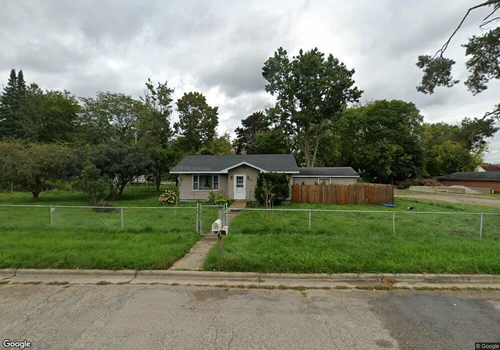
217 Brook St Lowell, MI 49331
Estimated Value: $222,000 - $251,000
2
Beds
1
Bath
932
Sq Ft
$253/Sq Ft
Est. Value
About This Home
This home is located at 217 Brook St, Lowell, MI 49331 and is currently estimated at $235,817, approximately $253 per square foot. 217 Brook St is a home located in Kent County with nearby schools including Bushnell Elementary School, Cherry Creek Elementary School, and Lowell Middle School.
Ownership History
Date
Name
Owned For
Owner Type
Purchase Details
Closed on
May 27, 2023
Sold by
Baird David Allan
Bought by
Baird David Allan and Baird Daniel
Current Estimated Value
Purchase Details
Closed on
Mar 18, 2014
Sold by
Baird Judith Ann and Baird Allan C
Bought by
Baird Judith Ann and Baird David Allan
Purchase Details
Closed on
Feb 28, 2012
Sold by
Potter Ronald
Bought by
Baird Allan C and Baird Judith Ann
Purchase Details
Closed on
Oct 24, 2005
Sold by
Potter Ronald
Bought by
Potter Dorothy A
Create a Home Valuation Report for This Property
The Home Valuation Report is an in-depth analysis detailing your home's value as well as a comparison with similar homes in the area
Home Values in the Area
Average Home Value in this Area
Purchase History
| Date | Buyer | Sale Price | Title Company |
|---|---|---|---|
| Baird David Allan | -- | None Listed On Document | |
| Baird Judith Ann | -- | None Available | |
| Baird Allan C | -- | None Available | |
| Potter Dorothy A | -- | -- | |
| Potter Dorothy A | -- | -- |
Source: Public Records
Tax History Compared to Growth
Tax History
| Year | Tax Paid | Tax Assessment Tax Assessment Total Assessment is a certain percentage of the fair market value that is determined by local assessors to be the total taxable value of land and additions on the property. | Land | Improvement |
|---|---|---|---|---|
| 2025 | $2,325 | $109,200 | $0 | $0 |
| 2024 | $2,325 | $92,800 | $0 | $0 |
| 2023 | $3,112 | $92,700 | $0 | $0 |
| 2022 | $3,488 | $93,400 | $0 | $0 |
| 2021 | $3,404 | $82,900 | $0 | $0 |
| 2020 | $2,506 | $77,300 | $0 | $0 |
| 2019 | $3,336 | $57,800 | $0 | $0 |
| 2018 | $3,263 | $55,500 | $0 | $0 |
| 2017 | $3,189 | $55,000 | $0 | $0 |
| 2016 | $3,120 | $49,800 | $0 | $0 |
| 2015 | -- | $49,800 | $0 | $0 |
| 2013 | -- | $49,800 | $0 | $0 |
Source: Public Records
Map
Nearby Homes
- 780 Bowes Rd
- 216 W Main St Unit 6
- 913 Clark St Unit 7
- 521 Spring St
- 510 N Hudson St SE
- 220 King St Unit 10
- 220 King St Unit 6
- 13100 Grand River Dr SE
- 325 S Division St
- 414 N Jefferson St
- 725 N Lafayette St SE
- 1550 Carol Lynne Dr
- 1800 W Main St Unit 102
- 610 Birchwood Ct SE
- 913 N Monroe St
- 926 N Washington St
- 1060 N Washington St
- 1212 Highland Hill Unit 30
- 1352 Highland Hill
- 1080 N Washington St SE