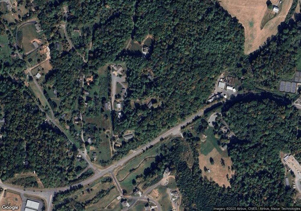
217 Brook St Mars Hill, NC 28754
Estimated Value: $392,000 - $486,842
4
Beds
3
Baths
2,475
Sq Ft
$186/Sq Ft
Est. Value
About This Home
This home is located at 217 Brook St, Mars Hill, NC 28754 and is currently estimated at $460,961, approximately $186 per square foot. 217 Brook St is a home located in Madison County with nearby schools including Madison Middle School.
Ownership History
Date
Name
Owned For
Owner Type
Purchase Details
Closed on
Aug 14, 2023
Sold by
Ponder Anthony E and Ponder Glennis R
Bought by
Ponder Anthony Graham
Current Estimated Value
Purchase Details
Closed on
Jun 18, 2010
Sold by
Wells Fargo Bank Na
Bought by
Ponder Anthony E and Ponder Glennis R
Home Financials for this Owner
Home Financials are based on the most recent Mortgage that was taken out on this home.
Original Mortgage
$89,000
Interest Rate
4.97%
Mortgage Type
New Conventional
Purchase Details
Closed on
Jul 23, 2009
Sold by
Metcalf Roland D and Metcalf Arlene Y
Bought by
Wachovia Bank N A
Create a Home Valuation Report for This Property
The Home Valuation Report is an in-depth analysis detailing your home's value as well as a comparison with similar homes in the area
Home Values in the Area
Average Home Value in this Area
Purchase History
| Date | Buyer | Sale Price | Title Company |
|---|---|---|---|
| Ponder Anthony Graham | -- | None Listed On Document | |
| Ponder Anthony Graham | -- | None Listed On Document | |
| Ponder Anthony E | $139,000 | -- | |
| Wachovia Bank N A | $101,689 | None Available |
Source: Public Records
Mortgage History
| Date | Status | Borrower | Loan Amount |
|---|---|---|---|
| Previous Owner | Ponder Anthony E | $89,000 |
Source: Public Records
Tax History Compared to Growth
Tax History
| Year | Tax Paid | Tax Assessment Tax Assessment Total Assessment is a certain percentage of the fair market value that is determined by local assessors to be the total taxable value of land and additions on the property. | Land | Improvement |
|---|---|---|---|---|
| 2024 | $1,608 | $317,223 | $56,289 | $260,934 |
| 2023 | $1,519 | $227,011 | $46,054 | $180,957 |
| 2022 | $1,519 | $227,011 | $46,054 | $180,957 |
| 2021 | $1,519 | $227,011 | $46,054 | $180,957 |
| 2020 | $1,519 | $227,011 | $46,054 | $180,957 |
| 2019 | $1,300 | $178,083 | $38,379 | $139,704 |
| 2018 | $1,086 | $0 | $0 | $0 |
| 2017 | $1,086 | $0 | $0 | $0 |
| 2016 | $1,086 | $0 | $0 | $0 |
| 2015 | -- | $0 | $0 | $0 |
| 2014 | -- | $178,083 | $38,379 | $139,704 |
| 2013 | -- | $178,083 | $38,379 | $139,704 |
Source: Public Records
Map
Nearby Homes
- 297 Bethany Dr
- 60 Gins Ln Unit 9 & 10
- 60 Gins Ln Unit lot 11
- 9999 Gabriel's Creek Rd Unit 42
- 9999 Gabriel's Creek Rd Unit 41
- 9999 Gabriel's Creek Rd Unit 40
- 9999 Gabriel's Creek Rd
- ### Gabriel's Creek Rd
- 132 Bailey Mountain Rd
- Lot 15 Mountain Gait Dr
- 230 S Main St
- 96 Chestnut Ln Unit 96
- 522 Bailey Mountain Rd
- 560 Bailey Mountain Rd
- 21 Ponder St
- 29 Ponder St
- 121 Ponder St
- 224 Country Dr
- 244 Country Dr
- 85 Pine Ridge Rd
- 76 Brook St
- 138 Brook St
- 195 Brook St
- 138 & 182 Brook St
- 118 Brook St
- 118 Brook St
- 1085 Black Bear Dr
- 119 Brook St
- 64 Brook St
- 180 Arrowood Corner Rd
- 120 Arrowood Corner Rd
- 110 Arrowood Corner Rd
- 162 Arrowood Corner Rd
- 55 White Oak Place
- 153 Arrowood Corner Rd Unit 1
- 00 Arrowood Corner Rd
- 153 Arrowood Corner Rd
- 32 Arrowood Corner Rd
- 32 Arrowood Corner Rd
- 0 Nc Hwy 213 None Unit 3706341
