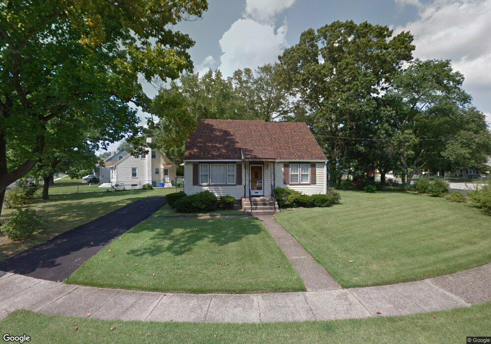
217 Brooke Ave Magnolia, NJ 08049
Estimated Value: $290,000 - $327,841
4
Beds
2
Baths
1,279
Sq Ft
$245/Sq Ft
Est. Value
About This Home
This home is located at 217 Brooke Ave, Magnolia, NJ 08049 and is currently estimated at $313,960, approximately $245 per square foot. 217 Brooke Ave is a home located in Camden County with nearby schools including Magnolia Elementary School and Sterling High School.
Ownership History
Date
Name
Owned For
Owner Type
Purchase Details
Closed on
Jan 27, 2023
Sold by
Pfafiiian Eileen T
Bought by
Devlin Megan
Current Estimated Value
Home Financials for this Owner
Home Financials are based on the most recent Mortgage that was taken out on this home.
Original Mortgage
$216,000
Outstanding Balance
$209,404
Interest Rate
6.48%
Mortgage Type
New Conventional
Estimated Equity
$104,556
Purchase Details
Closed on
May 6, 2011
Sold by
Pfafman Eileen T
Bought by
Pfafman Eileen T
Create a Home Valuation Report for This Property
The Home Valuation Report is an in-depth analysis detailing your home's value as well as a comparison with similar homes in the area
Home Values in the Area
Average Home Value in this Area
Purchase History
| Date | Buyer | Sale Price | Title Company |
|---|---|---|---|
| Devlin Megan | $240,000 | Surety Title | |
| Devlin Megan | $240,000 | Surety Title | |
| Pfafman Eileen T | -- | -- |
Source: Public Records
Mortgage History
| Date | Status | Borrower | Loan Amount |
|---|---|---|---|
| Open | Devlin Megan | $216,000 | |
| Closed | Devlin Megan | $216,000 |
Source: Public Records
Tax History Compared to Growth
Tax History
| Year | Tax Paid | Tax Assessment Tax Assessment Total Assessment is a certain percentage of the fair market value that is determined by local assessors to be the total taxable value of land and additions on the property. | Land | Improvement |
|---|---|---|---|---|
| 2025 | $6,688 | $139,300 | $47,200 | $92,100 |
| 2024 | $6,525 | $139,300 | $47,200 | $92,100 |
| 2023 | $6,525 | $139,300 | $47,200 | $92,100 |
| 2022 | $6,355 | $139,300 | $47,200 | $92,100 |
| 2021 | $6,294 | $139,300 | $47,200 | $92,100 |
| 2020 | $6,174 | $139,300 | $47,200 | $92,100 |
| 2019 | $6,057 | $139,300 | $47,200 | $92,100 |
| 2018 | $5,934 | $139,300 | $47,200 | $92,100 |
| 2017 | $5,761 | $139,300 | $47,200 | $92,100 |
| 2016 | $5,600 | $139,300 | $47,200 | $92,100 |
| 2015 | $5,406 | $139,300 | $47,200 | $92,100 |
| 2014 | $5,330 | $139,300 | $47,200 | $92,100 |
Source: Public Records
Map
Nearby Homes
- 207 NE Atlantic Ave
- 115 Phillips Ave
- 430 Brooke Ave
- 431 N White Horse Pike
- 130 W Monroe Ave
- 130 E Evesham Ave
- 606 Lincoln Ave
- 322 W Washington Ave
- 26 Center Oak Ave
- 59 E Oak Ave
- 22 Center Oak Ave
- 121 Lafayette Ave
- 114 Jefferson Ave
- 313 E Washington Ave
- 0 Thomas Ave S
- 172 E Charleston Ave
- 178 E Charleston Ave
- 128 E Oak Ave
- 539 Fresno Dr
- 319 Magnolia Ave
- 217 W Brooke Ave
- 501 Williams Ave
- 215 Brooke Ave
- 503 Williams Ave
- 220 Brooke Ave
- 502 Williams Ave
- 504 Williams Ave
- 224 Brooke Ave
- 226 Brooke Ave
- 222 Brooke Ave
- 228 Brooke Ave
- 505 Williams Ave
- 506 Williams Ave
- 213 Rose Place
- 508 Williams Ave
- 218 David Place
- 212 Brooke Ave
- 409 NE Atlantic Ave
- 510 Williams Ave
- 211 Rose Place