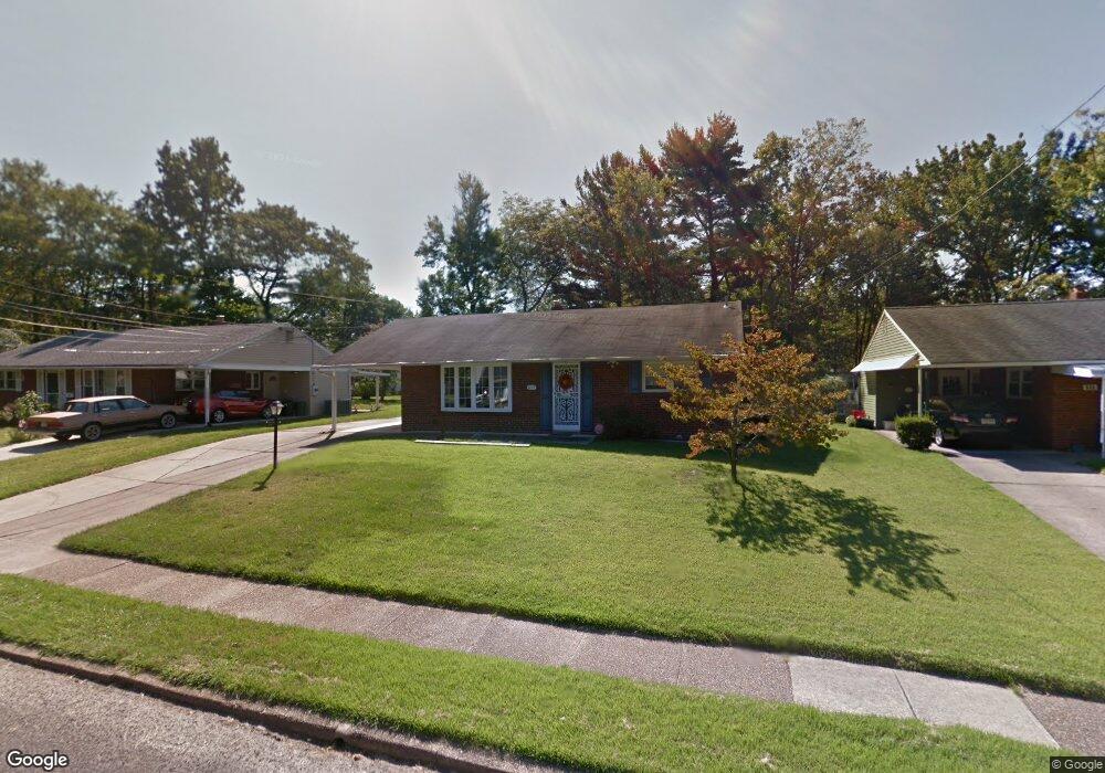
217 Buckner Ave Haddonfield, NJ 08033
Estimated Value: $364,090 - $468,000
Studio
--
Bath
1,102
Sq Ft
$391/Sq Ft
Est. Value
About This Home
This home is located at 217 Buckner Ave, Haddonfield, NJ 08033 and is currently estimated at $430,773, approximately $390 per square foot. 217 Buckner Ave is a home located in Camden County with nearby schools including William G. Rohrer Middle School, Haddon Township High School, and Good Shepherd Regional School.
Ownership History
Date
Name
Owned For
Owner Type
Purchase Details
Closed on
May 15, 2018
Sold by
Gatti Osea M and Gatti Lawrence A
Bought by
Gatti Lawrence A
Current Estimated Value
Purchase Details
Closed on
Jan 17, 1994
Sold by
Mcdaniel Jane
Bought by
Gatti Osea and Gatti Laurence
Home Financials for this Owner
Home Financials are based on the most recent Mortgage that was taken out on this home.
Original Mortgage
$50,000
Interest Rate
7.11%
Create a Home Valuation Report for This Property
The Home Valuation Report is an in-depth analysis detailing your home's value as well as a comparison with similar homes in the area
Purchase History
| Date | Buyer | Sale Price | Title Company |
|---|---|---|---|
| Gatti Lawrence A | -- | None Available | |
| Gatti Osea | $117,500 | -- |
Source: Public Records
Mortgage History
| Date | Status | Borrower | Loan Amount |
|---|---|---|---|
| Previous Owner | Gatti Osea | $50,000 |
Source: Public Records
Tax History
| Year | Tax Paid | Tax Assessment Tax Assessment Total Assessment is a certain percentage of the fair market value that is determined by local assessors to be the total taxable value of land and additions on the property. | Land | Improvement |
|---|---|---|---|---|
| 2025 | $8,073 | $351,900 | $145,100 | $206,800 |
| 2024 | $7,617 | $188,500 | $86,900 | $101,600 |
| 2023 | $7,617 | $188,500 | $86,900 | $101,600 |
| 2022 | $7,478 | $188,500 | $86,900 | $101,600 |
| 2021 | $7,534 | $188,500 | $86,900 | $101,600 |
| 2020 | $7,450 | $188,500 | $86,900 | $101,600 |
| 2019 | $7,180 | $188,500 | $86,900 | $101,600 |
| 2018 | $7,135 | $188,500 | $86,900 | $101,600 |
| 2017 | $7,012 | $188,500 | $86,900 | $101,600 |
| 2016 | $6,880 | $188,500 | $86,900 | $101,600 |
| 2015 | $6,156 | $188,500 | $86,900 | $101,600 |
| 2014 | $6,041 | $188,500 | $86,900 | $101,600 |
Source: Public Records
Map
Nearby Homes
- 222 Bradley Ave
- 207 French Ave
- 119 French Ave
- 105 Wesley Ave
- 15 W Cuthbert Blvd
- 6 E Albertson Ave
- 501 Rhoads Ave
- 24 Cambridge Ave
- 215 Conard Ave
- 510 Rhoads Ave
- 4 W Homestead Ave
- 104 Curtis Ave
- 830 Linwood Ave
- 1 Maple Ave
- 878 Haddon Avenue Unit: A
- 878 Haddon Avenue Unit: 407
- 11 Elm Ave
- 237 Virginia Ave
- 869 Haddon Ave
- 241 Addison Ave
- 213 119 Buckner
- 213 Buckner Ave
- 221 Buckner Ave
- 218 Bradley Ave
- 209 Buckner Ave
- 226 Bradley Ave
- 216 Buckner Ave
- 214 Bradley Ave
- 212 Buckner Ave
- 220 Buckner Ave
- 230 Bradley Ave
- 208 Buckner Ave
- 235 Buckner Ave
- 204 Bradley Ave
- 224 Buckner Ave
- 234 Bradley Ave
- 204 Buckner Ave
- 243 Buckner Ave
- 217 Bradley Ave
- 221 Bradley Ave
Your Personal Tour Guide
Ask me questions while you tour the home.