217 Crown Ridge Rd Conway, NH 03818
Estimated Value: $692,821 - $936,000
4
Beds
3
Baths
2,650
Sq Ft
$320/Sq Ft
Est. Value
About This Home
This home is located at 217 Crown Ridge Rd, Conway, NH 03818 and is currently estimated at $848,205, approximately $320 per square foot. 217 Crown Ridge Rd is a home with nearby schools including A. Crosby Kennett Middle School, Kennett High School, and The Lilliputian School.
Ownership History
Date
Name
Owned For
Owner Type
Purchase Details
Closed on
Apr 12, 2010
Sold by
J Scott Brockmeyer Ret
Bought by
Malapan James and Malapan Sharon
Current Estimated Value
Home Financials for this Owner
Home Financials are based on the most recent Mortgage that was taken out on this home.
Original Mortgage
$220,000
Interest Rate
5.12%
Mortgage Type
Purchase Money Mortgage
Create a Home Valuation Report for This Property
The Home Valuation Report is an in-depth analysis detailing your home's value as well as a comparison with similar homes in the area
Home Values in the Area
Average Home Value in this Area
Purchase History
| Date | Buyer | Sale Price | Title Company |
|---|---|---|---|
| Malapan James | $310,000 | -- |
Source: Public Records
Mortgage History
| Date | Status | Borrower | Loan Amount |
|---|---|---|---|
| Open | Malapan James | $217,000 | |
| Closed | Malapan James | $224,000 | |
| Closed | Malapan James | $220,000 |
Source: Public Records
Tax History Compared to Growth
Tax History
| Year | Tax Paid | Tax Assessment Tax Assessment Total Assessment is a certain percentage of the fair market value that is determined by local assessors to be the total taxable value of land and additions on the property. | Land | Improvement |
|---|---|---|---|---|
| 2024 | $9,044 | $788,500 | $143,300 | $645,200 |
| 2023 | $9,210 | $788,500 | $143,300 | $645,200 |
| 2022 | $8,322 | $424,600 | $76,500 | $348,100 |
| 2021 | $6,938 | $424,600 | $76,500 | $348,100 |
| 2020 | $7,171 | $424,600 | $76,500 | $348,100 |
| 2019 | $7,313 | $422,200 | $76,500 | $345,700 |
| 2018 | $7,808 | $343,200 | $60,500 | $282,700 |
| 2017 | $6,857 | $343,200 | $60,500 | $282,700 |
| 2016 | $6,627 | $343,200 | $60,500 | $282,700 |
| 2015 | $6,388 | $334,600 | $60,500 | $274,100 |
| 2014 | $6,311 | $334,600 | $60,500 | $274,100 |
| 2013 | $6,028 | $337,500 | $60,500 | $277,000 |
Source: Public Records
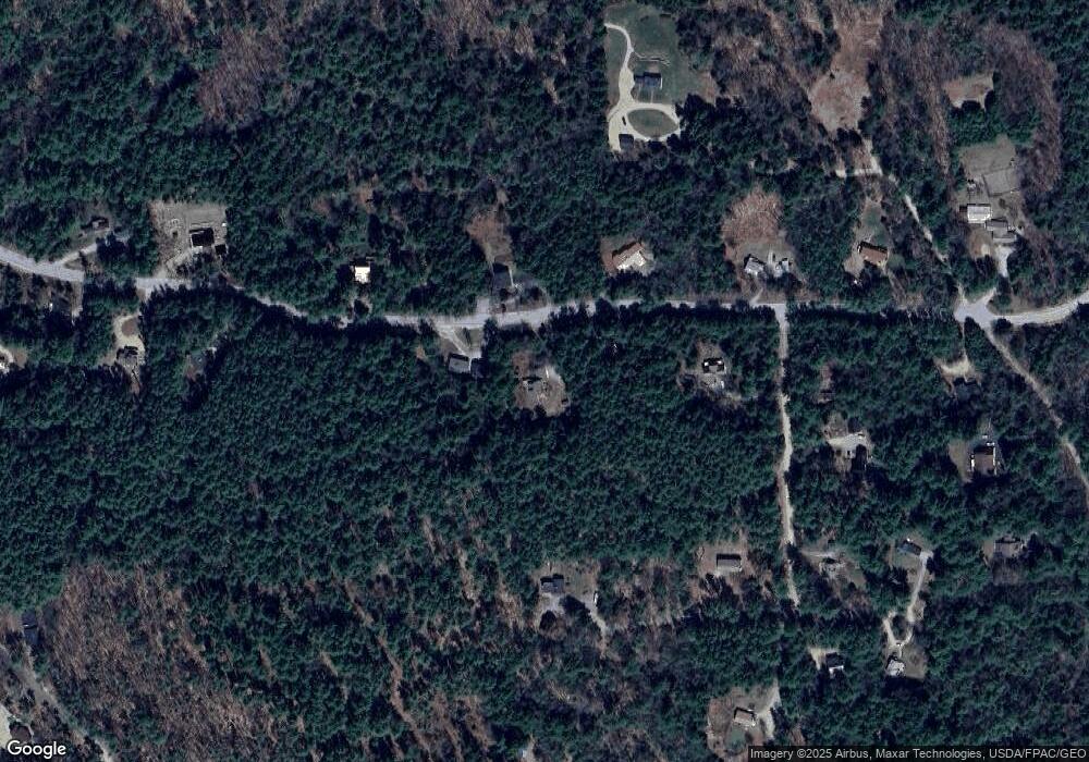
Map
Nearby Homes
- 50 Drachenfels Rd
- 72 Cranmore Woods Ln Unit 2
- 72 Cranmore Woods Ln Unit 4
- 679 Kearsarge Rd
- 970 Kearsarge Rd
- 168 Old Bartlett Rd Unit A
- 45 Wildflower Trail Unit 9
- 243 Skimobile Rd Unit 352
- 243 Skimobile Rd Unit 252
- 243 Skimobile Rd Unit 355
- 243 Skimobile Rd Unit 255
- 235 Skimobile Rd Unit 1404
- 239 Skimobile Rd Unit 314
- 239 Skimobile Rd Unit 305
- 239 Skimobile Rd Unit 304
- 15 Black Diamond Rd Unit 4
- 137 Skimobile Rd Unit 3
- 11 Black Diamond Rd Unit 3
- 7 Black Diamond Rd Unit 2
- 46 Crestwood Dr
- 66 Jessica Way
- 75.1 Crown Ridge Rd Unit Lot 75.1
- Lot 45 Crown Ridge Rd
- Lot 75.3 Crown Ridge Rd
- Lot 75.3 Crown Ridge Rd Unit 75.3
- 231 Crown Ridge Rd
- 199 Crown Ridge Rd
- 199 Crown Ridge Rd
- 208 Crown Ridge Rd
- 240 Crown Ridge Rd
- 20 Wills Way
- 300 Crown Ridge Rd
- 170 Crown Ridge Rd
- 102 Wallis Way
- 90 Wallis Way
- 217 Crown Ridge Rd
- 268 Crown Ridge Rd
- 90 Wills Way
- Lot 75.1 Crown Ridge
- Lot 75.1 Crown Ridge Rd