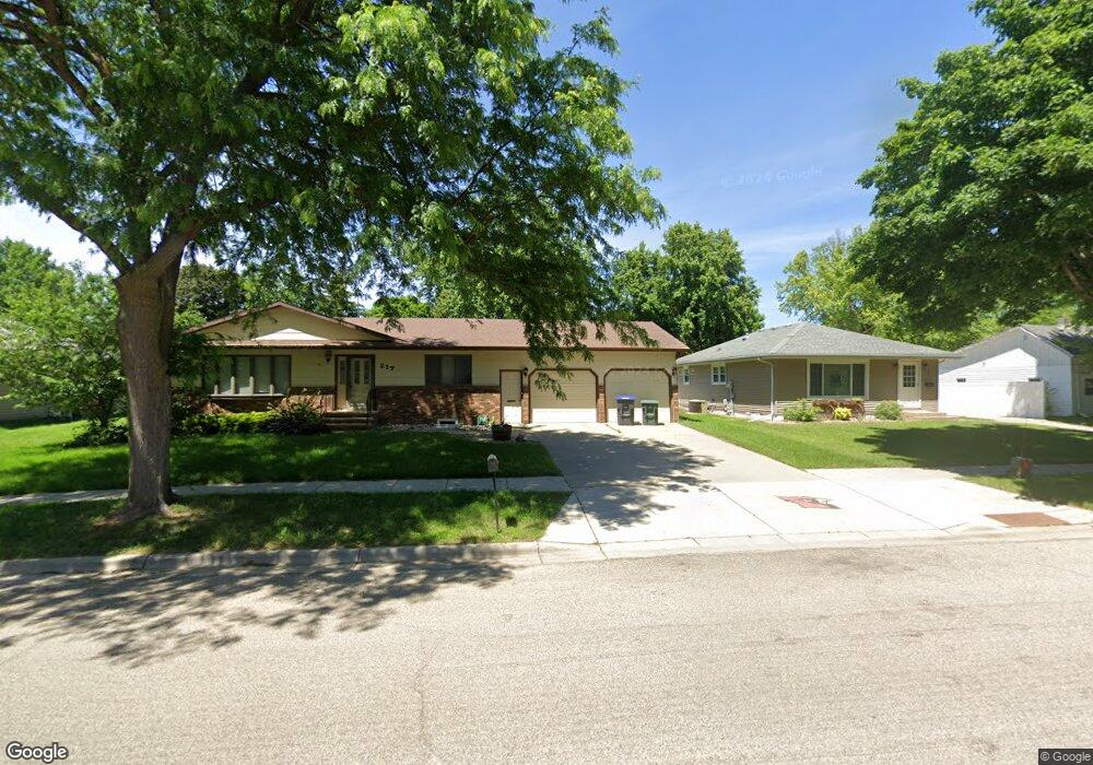
217 E Barck Ave Luverne, MN 56156
Estimated Value: $323,349 - $335,000
4
Beds
3
Baths
2,880
Sq Ft
$114/Sq Ft
Est. Value
About This Home
This home is located at 217 E Barck Ave, Luverne, MN 56156 and is currently estimated at $327,837, approximately $113 per square foot. 217 E Barck Ave is a home located in Rock County with nearby schools including Luverne Elementary School and Luverne Senior High School.
Ownership History
Date
Name
Owned For
Owner Type
Purchase Details
Closed on
Sep 1, 2020
Sold by
Bouma Henry P and Bouma Betty C
Bought by
Benson Brock Anthony and Benson Ashley Anne
Current Estimated Value
Home Financials for this Owner
Home Financials are based on the most recent Mortgage that was taken out on this home.
Original Mortgage
$213,750
Outstanding Balance
$189,337
Interest Rate
2.8%
Mortgage Type
New Conventional
Estimated Equity
$138,500
Create a Home Valuation Report for This Property
The Home Valuation Report is an in-depth analysis detailing your home's value as well as a comparison with similar homes in the area
Home Values in the Area
Average Home Value in this Area
Purchase History
| Date | Buyer | Sale Price | Title Company |
|---|---|---|---|
| Benson Brock Anthony | $225,000 | None Available |
Source: Public Records
Mortgage History
| Date | Status | Borrower | Loan Amount |
|---|---|---|---|
| Open | Benson Brock Anthony | $213,750 |
Source: Public Records
Tax History Compared to Growth
Tax History
| Year | Tax Paid | Tax Assessment Tax Assessment Total Assessment is a certain percentage of the fair market value that is determined by local assessors to be the total taxable value of land and additions on the property. | Land | Improvement |
|---|---|---|---|---|
| 2025 | $3,002 | $308,600 | $14,400 | $294,200 |
| 2024 | $3,002 | $281,300 | $12,000 | $269,300 |
| 2023 | $2,798 | $262,400 | $12,000 | $250,400 |
| 2022 | $2,594 | $231,300 | $7,700 | $223,600 |
| 2021 | $2,376 | $216,400 | $7,700 | $208,700 |
| 2020 | $2,506 | $202,500 | $7,700 | $194,800 |
| 2019 | $2,340 | $212,600 | $7,700 | $204,900 |
| 2018 | $2,048 | $203,000 | $7,700 | $195,300 |
| 2017 | $1,700 | $177,900 | $7,700 | $170,200 |
| 2016 | $1,668 | $159,300 | $7,000 | $152,300 |
| 2015 | $1,588 | $0 | $0 | $0 |
| 2014 | -- | $0 | $0 | $0 |
Source: Public Records
Map
Nearby Homes
- 201 E Adams Ave
- 1101 N Spring St
- 1013 N Blue Mound Ave
- 812 N Spring St
- 742 N Freeman Ave
- 703 N Spring St
- 613 N Cedar St
- 305 E Veteran's Dr
- 305 E Veterans Dr
- 1110 Elmhurst Ave
- 604 Britz Dr
- 606 Britz Dr
- 1115 Elmhurst Ave
- 109 E Luverne St Unit 337
- 109 E Luverne St Unit 220
- 1002 Linden St
- 612 Britz Dr
- 501 Central Ln
- 518 NE Park St
- 721 Britz Dr
- 301 E Barck Ave
- 213 E Barck Ave
- 303 E Barck St St
- 303 E Barck Ave
- 300 E Oakland Ave
- 209 E Barck St
- 300 East Ave
- 209 E Barck Ave
- 209 E Barck St St
- 307 E Barck St St
- 206 E Oakland Ave
- 919 N Mckenzie St
- 302 E Oakland Ave
- 920 N Mckenzie St
- 908 N Cedar St
- 904 N Cedar St
- 912 N Cedar St
- 917 N Mckenzie St
- 304 E Oakland Ave
- 311 E Barck Ave