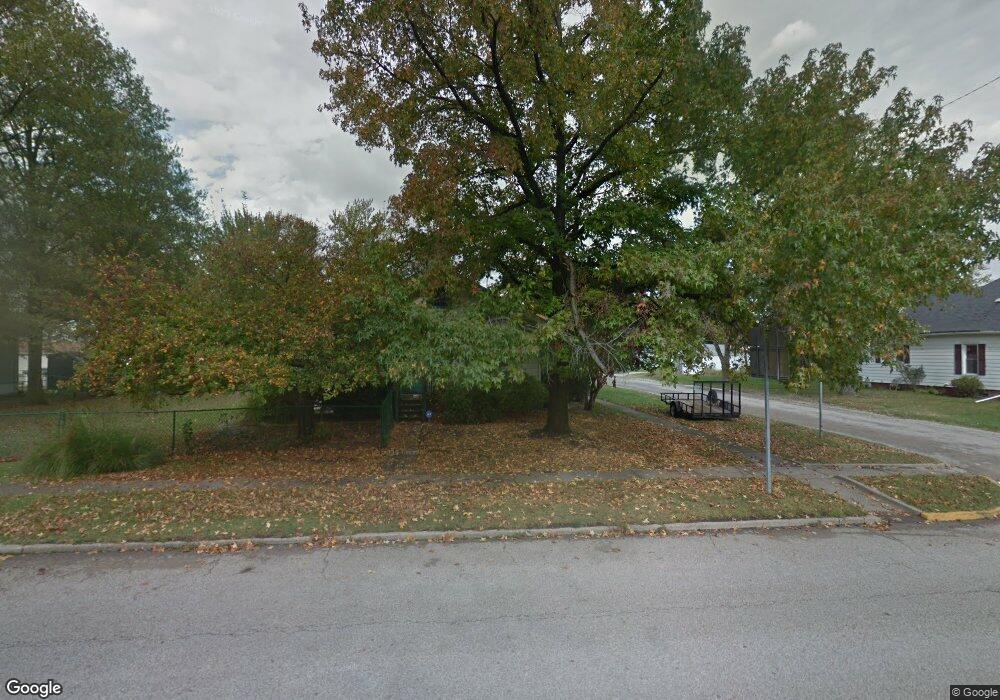
217 E Elm St Gillespie, IL 62033
Estimated Value: $106,000 - $131,808
3
Beds
1
Bath
1,578
Sq Ft
$76/Sq Ft
Est. Value
About This Home
This home is located at 217 E Elm St, Gillespie, IL 62033 and is currently estimated at $120,452, approximately $76 per square foot. 217 E Elm St is a home located in Macoupin County with nearby schools including Ben-Gil Elementary School, Gillespie Middle School, and Gillespie High School.
Ownership History
Date
Name
Owned For
Owner Type
Purchase Details
Closed on
Aug 12, 2025
Sold by
Mullins Robert J
Bought by
Mullins Robert J and Mccall Shaun M
Current Estimated Value
Purchase Details
Closed on
Jul 12, 2017
Sold by
Mccaw Bonnie K
Bought by
Mullins Robert J
Purchase Details
Closed on
Jan 27, 2015
Sold by
Mullins Robert J
Bought by
Mullins Robert J and Mccaw Bonnie K
Purchase Details
Closed on
Dec 7, 2012
Sold by
Federal Home Loan Mortgage Corporation
Bought by
Mullins Robert J
Home Financials for this Owner
Home Financials are based on the most recent Mortgage that was taken out on this home.
Original Mortgage
$34,300
Interest Rate
3.3%
Mortgage Type
Purchase Money Mortgage
Purchase Details
Closed on
Aug 24, 2012
Sold by
Bank Of America
Bought by
Edwards Thomas M
Create a Home Valuation Report for This Property
The Home Valuation Report is an in-depth analysis detailing your home's value as well as a comparison with similar homes in the area
Home Values in the Area
Average Home Value in this Area
Purchase History
| Date | Buyer | Sale Price | Title Company |
|---|---|---|---|
| Mullins Robert J | -- | None Listed On Document | |
| Mullins Robert J | -- | -- | |
| Mullins Robert J | -- | -- | |
| Mullins Robert J | $45,000 | -- | |
| Edwards Thomas M | -- | -- |
Source: Public Records
Mortgage History
| Date | Status | Borrower | Loan Amount |
|---|---|---|---|
| Previous Owner | Mullins Robert J | $34,300 |
Source: Public Records
Tax History
| Year | Tax Paid | Tax Assessment Tax Assessment Total Assessment is a certain percentage of the fair market value that is determined by local assessors to be the total taxable value of land and additions on the property. | Land | Improvement |
|---|---|---|---|---|
| 2024 | $163 | $19,155 | $4,076 | $15,079 |
| 2023 | $173 | $17,736 | $3,774 | $13,962 |
| 2022 | $173 | $16,576 | $3,527 | $13,049 |
| 2021 | $187 | $28,466 | $3,296 | $25,170 |
| 2020 | $185 | $26,721 | $3,080 | $23,641 |
| 2019 | $199 | $13,787 | $2,516 | $11,271 |
| 2018 | $197 | $13,787 | $0 | $0 |
| 2017 | $202 | $13,516 | $2,875 | $10,641 |
| 2016 | $201 | $13,516 | $2,875 | $10,641 |
| 2015 | $204 | $13,516 | $2,875 | $10,641 |
| 2014 | $231 | $13,516 | $2,875 | $10,641 |
| 2013 | $497 | $17,636 | $3,120 | $14,516 |
Source: Public Records
Map
Nearby Homes
- 212 E Elm St
- 302 E Elm St
- 418 E Elm St
- 705 N MacOupin St
- 713 N MacOupin St
- 811 Adams St
- 301 Montgomery St
- 304 Francis St
- 307 South St
- 900 Montana St
- 506 W Walnut St
- 601 Biddle St
- 208 Henrietta St
- 610 Rotary St
- 509 E Wilson Ave
- xxx Tortoise Trail
- 398 Dorsey Rd
- 2630 Staunton Rd
- 214 W Walnut St
- 209 S Main St
Your Personal Tour Guide
Ask me questions while you tour the home.