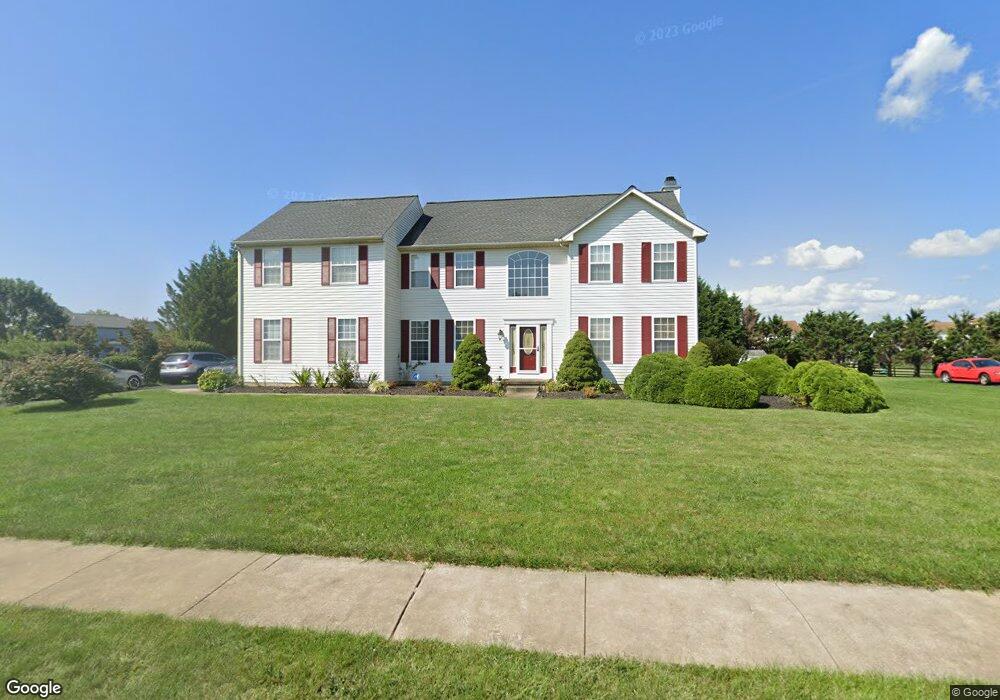
217 E Harvest Dr New Castle, DE 19720
Kirkwood NeighborhoodEstimated Value: $611,612 - $654,000
4
Beds
3
Baths
3,194
Sq Ft
$200/Sq Ft
Est. Value
About This Home
This home is located at 217 E Harvest Dr, New Castle, DE 19720 and is currently estimated at $639,903, approximately $200 per square foot. 217 E Harvest Dr is a home located in New Castle County with nearby schools including Southern Elementary School, Gunning Bedford Middle School, and Aquinas Academy.
Ownership History
Date
Name
Owned For
Owner Type
Purchase Details
Closed on
Mar 21, 2003
Sold by
Intersect Development Inc
Bought by
Walker Lincoln and Walker Eva
Current Estimated Value
Home Financials for this Owner
Home Financials are based on the most recent Mortgage that was taken out on this home.
Original Mortgage
$254,500
Outstanding Balance
$109,569
Interest Rate
5.9%
Mortgage Type
VA
Estimated Equity
$530,334
Create a Home Valuation Report for This Property
The Home Valuation Report is an in-depth analysis detailing your home's value as well as a comparison with similar homes in the area
Home Values in the Area
Average Home Value in this Area
Purchase History
| Date | Buyer | Sale Price | Title Company |
|---|---|---|---|
| Walker Lincoln | $253,070 | -- |
Source: Public Records
Mortgage History
| Date | Status | Borrower | Loan Amount |
|---|---|---|---|
| Open | Walker Lincoln | $254,500 |
Source: Public Records
Tax History Compared to Growth
Tax History
| Year | Tax Paid | Tax Assessment Tax Assessment Total Assessment is a certain percentage of the fair market value that is determined by local assessors to be the total taxable value of land and additions on the property. | Land | Improvement |
|---|---|---|---|---|
| 2024 | $433 | $122,600 | $16,000 | $106,600 |
| 2023 | $404 | $122,600 | $16,000 | $106,600 |
| 2022 | $385 | $122,600 | $16,000 | $106,600 |
| 2021 | $4,118 | $122,600 | $16,000 | $106,600 |
| 2020 | $4,144 | $122,600 | $16,000 | $106,600 |
| 2019 | $4,136 | $122,600 | $16,000 | $106,600 |
| 2018 | $4,078 | $122,600 | $16,000 | $106,600 |
| 2017 | $3,825 | $122,600 | $16,000 | $106,600 |
| 2016 | $3,415 | $122,600 | $16,000 | $106,600 |
| 2015 | $3,415 | $122,600 | $16,000 | $106,600 |
| 2014 | $3,434 | $122,600 | $16,000 | $106,600 |
Source: Public Records
Map
Nearby Homes
- 31 Crestpoint Dr
- 1119 Casey Dr
- 1225 Caitlin Way
- 1049 Matthew Way
- 6 Delaware St
- 2159 Mccoy Rd
- 402 Derrytown Dr
- 1902 Mccoy Rd
- 4010 Kirkwood Saint Georges Rd
- 102 Parker Dr
- 300 Fenn Ct
- 35 N Dragon Dr
- 319 Pheasant Dr
- 8 Tamar Ct
- 121 Willow Oak Blvd
- 348 Starboard Dr
- 308 Nowland Ln
- 306 Nowland Ln
- 1011 Stuyvesant St
- 210 Olivia Way
- 219 E Harvest Dr
- 409 Silo Dr
- 407 Silo Dr
- 347 Wheatsheaf Dr
- 345 Wheatsheaf Dr
- 221 E Harvest Dr
- 218 E Harvest Dr
- 216 E Harvest Dr
- 351 Wheatsheaf Dr
- 220 E Harvest Dr
- 214 E Harvest Dr
- 343 Wheatsheaf Dr
- 223 E Harvest Dr
- 430 Silo Rd
- 222 E Harvest Dr
- 209 E Harvest Dr
- 341 Wheatsheaf Dr
- 406 Silo Dr
- 406 Silo Rd
- 210 E Harvest Dr