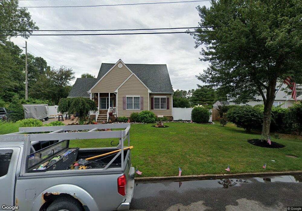
217 Elm Ave West Creek, NJ 08092
Stafford NeighborhoodEstimated Value: $528,528 - $663,000
5
Beds
2
Baths
3,092
Sq Ft
$190/Sq Ft
Est. Value
About This Home
This home is located at 217 Elm Ave, West Creek, NJ 08092 and is currently estimated at $587,882, approximately $190 per square foot. 217 Elm Ave is a home located in Ocean County with nearby schools including Oxycocus Elementary School, Ocean Acres Elementary School, and McKinley Avenue Elementary School.
Ownership History
Date
Name
Owned For
Owner Type
Purchase Details
Closed on
Mar 28, 2017
Sold by
Jam Properties Llc
Bought by
151 Route 72 Llc
Current Estimated Value
Purchase Details
Closed on
Jan 15, 1998
Sold by
Brewster Deborah S
Bought by
Henderson Frank
Purchase Details
Closed on
Nov 12, 1997
Sold by
Brewster John L
Bought by
Brewster Deborah S
Create a Home Valuation Report for This Property
The Home Valuation Report is an in-depth analysis detailing your home's value as well as a comparison with similar homes in the area
Home Values in the Area
Average Home Value in this Area
Purchase History
| Date | Buyer | Sale Price | Title Company |
|---|---|---|---|
| 151 Route 72 Llc | $9,840,000 | Old Republic National Title | |
| Henderson Frank | $24,000 | -- | |
| Brewster Deborah S | -- | -- |
Source: Public Records
Tax History Compared to Growth
Tax History
| Year | Tax Paid | Tax Assessment Tax Assessment Total Assessment is a certain percentage of the fair market value that is determined by local assessors to be the total taxable value of land and additions on the property. | Land | Improvement |
|---|---|---|---|---|
| 2025 | $7,007 | $282,200 | $70,700 | $211,500 |
| 2024 | $6,939 | $282,200 | $70,700 | $211,500 |
| 2023 | $6,643 | $282,200 | $70,700 | $211,500 |
| 2022 | $6,643 | $282,200 | $70,700 | $211,500 |
| 2021 | $6,553 | $282,200 | $70,700 | $211,500 |
| 2020 | $6,561 | $282,200 | $70,700 | $211,500 |
| 2019 | $6,468 | $282,200 | $70,700 | $211,500 |
| 2018 | $6,429 | $282,200 | $70,700 | $211,500 |
| 2017 | $6,339 | $269,400 | $70,700 | $198,700 |
| 2016 | $6,274 | $269,400 | $70,700 | $198,700 |
| 2015 | $6,053 | $269,400 | $70,700 | $198,700 |
| 2014 | $5,967 | $262,300 | $70,700 | $191,600 |
Source: Public Records
Map
Nearby Homes
- 71 Oak Ridge Ln
- 75 Perry Ln
- 40 Pine Grove Ave
- 15 Cedar Hill Dr
- 30 Fort Lee Dr
- 36 Fort Lee Dr
- 1076 S Main St
- 303 S Lakeshore Dr
- 84 Jennings Rd
- 106 Bryce Ln Unit 802
- 25 N Union St
- 49 Oxycocus Rd
- 76 Beach Ave
- 670 Julian Ct
- 295 N Main St
- 295 N North Main St
- 34 Holly Rd
- 159 Littleworth Rd
- 155 Littleworth Rd
- 151 Littleworth Rd