217 Emmaus Rd Belpre, OH 45714
Estimated Value: $216,000 - $292,000
3
Beds
2
Baths
1,650
Sq Ft
$156/Sq Ft
Est. Value
About This Home
This home is located at 217 Emmaus Rd, Belpre, OH 45714 and is currently estimated at $257,329, approximately $155 per square foot. 217 Emmaus Rd is a home located in Washington County with nearby schools including Belpre Elementary School and Belpre High School.
Ownership History
Date
Name
Owned For
Owner Type
Purchase Details
Closed on
Jul 31, 2006
Sold by
Robertson Glenn I and Robertson Pamela K
Bought by
Mullen Terry L and Mullen Kathleen J
Current Estimated Value
Home Financials for this Owner
Home Financials are based on the most recent Mortgage that was taken out on this home.
Original Mortgage
$132,500
Outstanding Balance
$78,984
Interest Rate
6.82%
Mortgage Type
Purchase Money Mortgage
Estimated Equity
$178,345
Purchase Details
Closed on
Jun 3, 2005
Sold by
Logston Ryan L and Logston Cheryl L
Bought by
Robertson Glenn I and Robertson Pamela K
Home Financials for this Owner
Home Financials are based on the most recent Mortgage that was taken out on this home.
Original Mortgage
$80,000
Interest Rate
5.46%
Mortgage Type
Credit Line Revolving
Purchase Details
Closed on
Feb 23, 1996
Bought by
Logston Ryan L and Logston Cheryl
Purchase Details
Closed on
Jul 8, 1993
Bought by
Clampitt Ii Ronald R
Create a Home Valuation Report for This Property
The Home Valuation Report is an in-depth analysis detailing your home's value as well as a comparison with similar homes in the area
Home Values in the Area
Average Home Value in this Area
Purchase History
| Date | Buyer | Sale Price | Title Company |
|---|---|---|---|
| Mullen Terry L | $177,500 | None Available | |
| Robertson Glenn I | $171,000 | None Available | |
| Logston Ryan L | $12,000 | -- | |
| Logston Ryan L | $12,000 | -- | |
| Clampitt Ii Ronald R | $7,000 | -- | |
| Clampitt Ii Ronald R | $7,000 | -- |
Source: Public Records
Mortgage History
| Date | Status | Borrower | Loan Amount |
|---|---|---|---|
| Open | Mullen Terry L | $132,500 | |
| Previous Owner | Robertson Glenn I | $80,000 |
Source: Public Records
Tax History
| Year | Tax Paid | Tax Assessment Tax Assessment Total Assessment is a certain percentage of the fair market value that is determined by local assessors to be the total taxable value of land and additions on the property. | Land | Improvement |
|---|---|---|---|---|
| 2024 | $4,266 | $72,110 | $9,890 | $62,220 |
| 2023 | $2,864 | $72,110 | $9,890 | $62,220 |
| 2022 | $2,849 | $72,110 | $9,890 | $62,220 |
| 2021 | $2,294 | $54,440 | $7,560 | $46,880 |
| 2020 | $2,160 | $54,440 | $7,560 | $46,880 |
| 2019 | $2,151 | $54,440 | $7,560 | $46,880 |
| 2018 | $2,090 | $51,110 | $6,300 | $44,810 |
| 2017 | $1,680 | $51,110 | $6,300 | $44,810 |
| 2016 | $2,564 | $51,110 | $6,300 | $44,810 |
| 2015 | $1,476 | $44,650 | $6,090 | $38,560 |
| 2014 | $2,243 | $44,650 | $6,090 | $38,560 |
| 2013 | $1,448 | $44,650 | $6,090 | $38,560 |
Source: Public Records
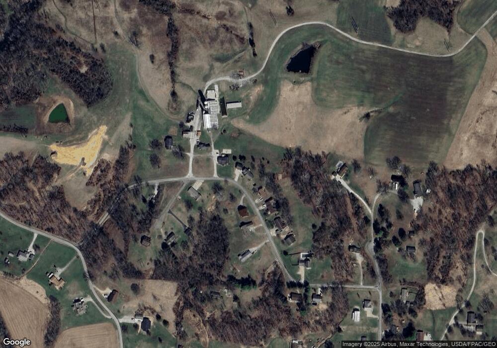
Map
Nearby Homes
- 1948 State Route 339
- 155 Ridgewood Blvd
- 1310 Oxbow Rd
- 21 Cherry Hills Dr
- 240 Hollywood Dr
- 0 Mooreland Rd Unit 5174607
- 905 Ridgewood Blvd
- 56 Carson Ln
- 120 Carson Ln
- 631 Short Brook Rd
- 2526 Valley View Dr
- 1103 Farson St
- 2053 Mcgill Rd
- 2811 Washington Blvd
- 195 N Bruce St
- 8045 Veto Rd
- 1556 Mcgill Rd
- 2313 Washington Blvd
- 171 Veto Cir
- 1806 Pennsylvania Ave
- 247 Emmaus Rd
- 195 Emmaus Rd
- 173 Emmaus Rd
- 238 Emmaus Rd
- 259 Emmaus Rd
- 276 Emmaus Rd
- 176 Emmaus Rd
- 159 Emmaus Rd
- 285 Emmaus Rd
- 285 Emmaus Rd
- 296 Emmaus Rd
- 115 Maranatha Cir
- 126 Emmaus Rd
- 33 Adorian Place Rd
- 363 Emmaus Rd
- 657 Mill Branch Rd
- 320 Emmaus Rd
- 36 Adorian Place Rd
- 354 Emmaus Rd
- 431 Emmaus Rd