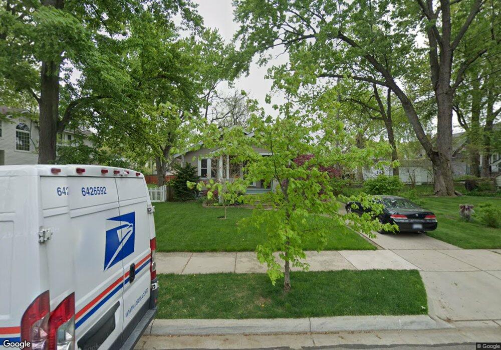
217 Euclid Ave Royal Oak, MI 48067
Estimated Value: $228,000 - $300,000
2
Beds
1
Bath
895
Sq Ft
$298/Sq Ft
Est. Value
About This Home
This home is located at 217 Euclid Ave, Royal Oak, MI 48067 and is currently estimated at $266,504, approximately $297 per square foot. 217 Euclid Ave is a home located in Oakland County with nearby schools including Northwood Elementary School, Royal Oak Middle School, and Royal Oak High School.
Ownership History
Date
Name
Owned For
Owner Type
Purchase Details
Closed on
Oct 25, 2002
Sold by
Nikel David J and Kimble Mark
Bought by
Kaufman Anne M
Current Estimated Value
Purchase Details
Closed on
Nov 11, 1999
Sold by
Lazo Raghad
Bought by
Nikel David J
Purchase Details
Closed on
Sep 24, 1997
Sold by
Lauterbach Gregory L
Bought by
Lazo Raghad
Home Financials for this Owner
Home Financials are based on the most recent Mortgage that was taken out on this home.
Original Mortgage
$89,250
Interest Rate
7.65%
Create a Home Valuation Report for This Property
The Home Valuation Report is an in-depth analysis detailing your home's value as well as a comparison with similar homes in the area
Home Values in the Area
Average Home Value in this Area
Purchase History
| Date | Buyer | Sale Price | Title Company |
|---|---|---|---|
| Kaufman Anne M | $170,000 | Wolverine State Title Inc | |
| Nikel David J | $126,000 | -- | |
| Lazo Raghad | $105,000 | -- |
Source: Public Records
Mortgage History
| Date | Status | Borrower | Loan Amount |
|---|---|---|---|
| Previous Owner | Lazo Raghad | $89,250 |
Source: Public Records
Tax History Compared to Growth
Tax History
| Year | Tax Paid | Tax Assessment Tax Assessment Total Assessment is a certain percentage of the fair market value that is determined by local assessors to be the total taxable value of land and additions on the property. | Land | Improvement |
|---|---|---|---|---|
| 2024 | $2,215 | $106,400 | $0 | $0 |
| 2020 | $2,153 | $82,650 | $0 | $0 |
| 2018 | $2,618 | $72,630 | $0 | $0 |
| 2017 | $2,516 | $72,630 | $0 | $0 |
| 2015 | -- | $63,790 | $0 | $0 |
| 2014 | -- | $60,380 | $0 | $0 |
| 2011 | -- | $57,870 | $0 | $0 |
Source: Public Records
Map
Nearby Homes
- 1821 N Washington Ave
- 1828 N Lafayette Ave
- 1833 N Washington Ave
- 320 Catalpa Dr
- 307 Marlin Ave
- 1028 Edgewood Dr
- 334 Marlin Ave
- 606 Catalpa Dr
- 410 Crane Ave
- 719 W 12 Mile Rd
- 227 W Houstonia Ave
- 512 Marlin Ave
- 127 La Plaza Ct
- 528 Marlin Ave
- 912 Woodsboro Dr
- 508 W Houstonia Ave
- 2115 Marywood Dr
- 408 Forest Ave
- 715 Gardenia Ave
- 714 E 12 Mile Rd
- 207 Euclid Ave
- 1516 N Washington Ave
- 1522 N Washington Ave
- 1526 N Washington Ave
- 203 Euclid Ave
- 1512 N Washington Ave
- 210 Woodsboro Dr
- 123 Euclid Ave
- 218 Woodsboro Dr
- 214 Woodsboro Dr
- 1508 N Washington Ave
- 000 Dewey St
- 0 Dewey St
- 206 Woodsboro Dr
- 119 Euclid Ave
- 1602 N Washington Ave
- 212 Euclid Ave
- 218 Euclid Ave
- 202 Woodsboro Dr
- 1506 N Washington Ave