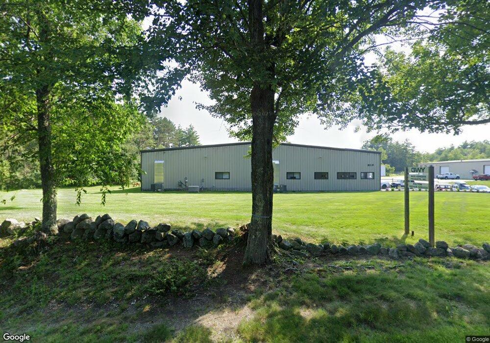
217 Forest Rd Unit D Greenfield, NH 03047
Estimated Value: $479,116
Studio
3
Baths
24,345
Sq Ft
$20/Sq Ft
Est. Value
About This Home
This home is located at 217 Forest Rd Unit D, Greenfield, NH 03047 and is currently priced at $479,116, approximately $19 per square foot. 217 Forest Rd Unit D is a home located in Hillsborough County with nearby schools including Greenfield Elementary School, South Meadow School, and Conval Regional High School.
Ownership History
Date
Name
Owned For
Owner Type
Purchase Details
Closed on
Mar 14, 2022
Sold by
Forest Road T and Bettencourt
Bought by
217 Forest Road Llc
Current Estimated Value
Home Financials for this Owner
Home Financials are based on the most recent Mortgage that was taken out on this home.
Original Mortgage
$300,000
Outstanding Balance
$278,276
Interest Rate
3.92%
Mortgage Type
Purchase Money Mortgage
Create a Home Valuation Report for This Property
The Home Valuation Report is an in-depth analysis detailing your home's value as well as a comparison with similar homes in the area
Home Values in the Area
Average Home Value in this Area
Purchase History
| Date | Buyer | Sale Price | Title Company |
|---|---|---|---|
| 217 Forest Road Llc | $400,000 | None Available |
Source: Public Records
Mortgage History
| Date | Status | Borrower | Loan Amount |
|---|---|---|---|
| Open | 217 Forest Road Llc | $300,000 |
Source: Public Records
Tax History
| Year | Tax Paid | Tax Assessment Tax Assessment Total Assessment is a certain percentage of the fair market value that is determined by local assessors to be the total taxable value of land and additions on the property. | Land | Improvement |
|---|---|---|---|---|
| 2025 | $22,594 | $1,075,885 | $160,085 | $915,800 |
| 2024 | $23,938 | $1,075,881 | $160,081 | $915,800 |
| 2023 | $15,714 | $463,554 | $113,854 | $349,700 |
| 2022 | $19,632 | $645,363 | $113,863 | $531,500 |
| 2021 | $16,905 | $630,777 | $113,877 | $516,900 |
| 2020 | $17,123 | $630,678 | $113,878 | $516,800 |
| 2019 | $17,199 | $630,678 | $113,878 | $516,800 |
| 2018 | $14,946 | $484,667 | $88,267 | $396,400 |
| 2017 | $14,525 | $484,668 | $88,268 | $396,400 |
| 2016 | $13,617 | $482,367 | $88,267 | $394,100 |
| 2015 | $13,190 | $475,161 | $88,261 | $386,900 |
| 2014 | $12,654 | $475,161 | $88,261 | $386,900 |
| 2013 | $10,703 | $440,638 | $112,800 | $327,838 |
Source: Public Records
Map
Nearby Homes
- 10 Mountain Rd
- 42 East Rd
- 215 General Miller Rd
- 21 Sunset Lake Rd
- 302 Forest Rd
- 430 Sand Hill Rd
- 109 Greenfield Rd
- 144 Putnam Hill Rd
- 477 E Mountain Rd
- 14 Colonial Square Unit 14
- 7 Colonial Square
- 206 Carley Rd
- 137 Muzzy Hill Rd
- 1388 Forest Rd
- 8a Stonegate Farm Rd
- 3-1 Cedar Ridge Dr
- 59 Westview Dr
- 57 Cranberry Meadow Dr
- 507 Old Street Rd
- 8 Hilltop Dr
- 217 Forest Rd
- 204 Forest Rd
- 216 Forest Rd
- 236 Forest Rd
- 26 Russell Station Rd
- 237 Forest Rd
- 238 Forest Rd
- 7 New Boston Rd
- 248 Forest Rd
- 46 Rocky Ln
- 254 Forest Rd
- 38 Rocky Ln
- 260 Forest Rd
- 18-6 New Boston Rd
- 18-7 New Boston Rd
- 28 Rocky Ln
- 278 Forest Rd
- 68 New Boston Rd
- 20 Rocky Ln
- R6-30-5 Zephyr Lake
Your Personal Tour Guide
Ask me questions while you tour the home.