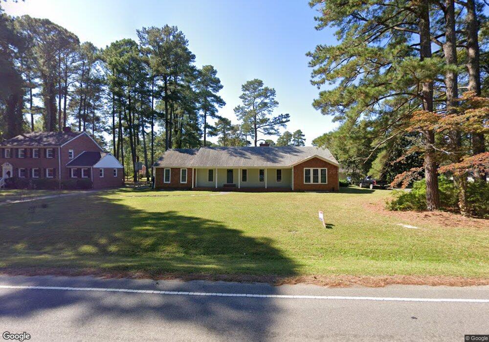
217 Hunterdale Rd Franklin, VA 23851
Estimated Value: $325,000 - $404,091
3
Beds
2
Baths
3,140
Sq Ft
$119/Sq Ft
Est. Value
About This Home
This home is located at 217 Hunterdale Rd, Franklin, VA 23851 and is currently estimated at $372,523, approximately $118 per square foot. 217 Hunterdale Rd is a home located in Franklin City with nearby schools including S.P. Morton Elementary School, Joseph P. King Jr. Middle School, and Franklin High School.
Ownership History
Date
Name
Owned For
Owner Type
Purchase Details
Closed on
Mar 23, 2020
Sold by
Pittman Nancy H
Bought by
Skinner Eliot J
Current Estimated Value
Home Financials for this Owner
Home Financials are based on the most recent Mortgage that was taken out on this home.
Original Mortgage
$170,940
Outstanding Balance
$151,678
Interest Rate
3.6%
Mortgage Type
VA
Estimated Equity
$220,845
Create a Home Valuation Report for This Property
The Home Valuation Report is an in-depth analysis detailing your home's value as well as a comparison with similar homes in the area
Home Values in the Area
Average Home Value in this Area
Purchase History
| Date | Buyer | Sale Price | Title Company |
|---|---|---|---|
| Skinner Eliot J | $165,000 | Fidelity Title |
Source: Public Records
Mortgage History
| Date | Status | Borrower | Loan Amount |
|---|---|---|---|
| Open | Skinner Eliot J | $170,940 |
Source: Public Records
Tax History Compared to Growth
Tax History
| Year | Tax Paid | Tax Assessment Tax Assessment Total Assessment is a certain percentage of the fair market value that is determined by local assessors to be the total taxable value of land and additions on the property. | Land | Improvement |
|---|---|---|---|---|
| 2025 | $3,693 | $358,500 | $87,500 | $271,000 |
| 2024 | $3,693 | $358,500 | $87,500 | $271,000 |
| 2023 | $2,521 | $244,800 | $41,400 | $203,400 |
| 2022 | $2,521 | $244,800 | $41,400 | $203,400 |
| 2021 | $2,047 | $198,700 | $37,500 | $161,200 |
| 2020 | $2,144 | $198,700 | $37,500 | $161,200 |
| 2019 | $2,144 | $216,600 | $37,500 | $179,100 |
| 2018 | $2,144 | $216,600 | $37,500 | $179,100 |
| 2017 | $1,943 | $196,300 | $32,500 | $163,800 |
| 2016 | $1,943 | $196,300 | $32,500 | $163,800 |
| 2015 | -- | $0 | $0 | $0 |
| 2014 | -- | $0 | $0 | $0 |
| 2013 | -- | $0 | $0 | $0 |
Source: Public Records
Map
Nearby Homes
- 102 Irving St
- 104 Hunterdale Rd
- 100 Sunset Dr
- 324 Old Sedley Rd
- 0 Clay St
- 1121 Clay St
- 412 Crescent Dr
- 132 Queens Ln
- 201 North Dr
- 244 Carrie Dr
- 107 Summit View Ln
- 105 Summit View Ln
- 111 Summit View Ln
- Poplar Plan at The Summit
- 101 Summit Path
- 100 Summit Path
- 102 Summit Path
- 104 Summit Path
- 106 Summit Path
- 110 Summit Path
- 225 Hunterdale Rd
- 209 Hunterdale Rd
- 220 Robinhood Rd
- 212 Robinhood Rd
- 216 Hunterdale Rd
- 220 Hunterdale Rd
- 224 Robinhood Rd
- 205 Hunterdale Rd
- 208 Robinhood Rd
- 224 Hunterdale Rd
- 301 Hunterdale Rd
- 204 Robinhood Rd
- 201 Hunterdale Rd
- 300 Robinhood Rd
- 200 Hunterdale Rd
- 232 Hunterdale Rd
- 200 Robinhood Rd
- 217 Robinhood Rd
- 301 Robinhood Rd
- 213 Robinhood Rd