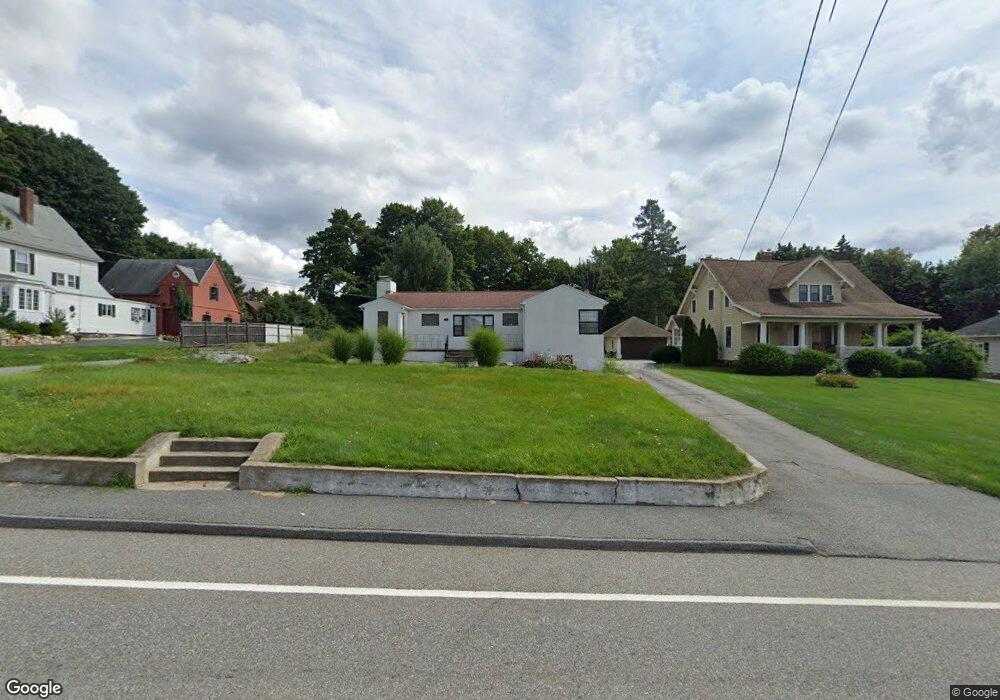
217 Maple Ave Shrewsbury, MA 01545
Estimated Value: $450,000 - $544,000
2
Beds
1
Bath
1,166
Sq Ft
$443/Sq Ft
Est. Value
About This Home
This home is located at 217 Maple Ave, Shrewsbury, MA 01545 and is currently estimated at $515,980, approximately $442 per square foot. 217 Maple Ave is a home located in Worcester County with nearby schools including Sherwood Middle School, Floral Street School, and Oak Middle School.
Ownership History
Date
Name
Owned For
Owner Type
Purchase Details
Closed on
Jan 23, 2009
Sold by
Daigle Ft and Calloway
Bought by
Calloway C Bradford
Current Estimated Value
Purchase Details
Closed on
Oct 24, 2007
Sold by
Daigle Barbara E
Bought by
Daigle Ft and Daigle
Purchase Details
Closed on
Jan 8, 1992
Sold by
Hooten Steven P
Bought by
F & R Realty
Create a Home Valuation Report for This Property
The Home Valuation Report is an in-depth analysis detailing your home's value as well as a comparison with similar homes in the area
Home Values in the Area
Average Home Value in this Area
Purchase History
| Date | Buyer | Sale Price | Title Company |
|---|---|---|---|
| Calloway C Bradford | -- | -- | |
| Calloway C Bradford | -- | -- | |
| Calloway C Bradford | -- | -- | |
| Daigle Ft | -- | -- | |
| Daigle Ft | -- | -- | |
| Daigle Ft | -- | -- | |
| F & R Realty | $22,100 | -- | |
| F & R Realty | $22,100 | -- |
Source: Public Records
Tax History Compared to Growth
Tax History
| Year | Tax Paid | Tax Assessment Tax Assessment Total Assessment is a certain percentage of the fair market value that is determined by local assessors to be the total taxable value of land and additions on the property. | Land | Improvement |
|---|---|---|---|---|
| 2025 | $62 | $515,600 | $273,800 | $241,800 |
| 2024 | $5,617 | $453,700 | $260,700 | $193,000 |
| 2023 | $5,667 | $431,900 | $260,700 | $171,200 |
| 2022 | $5,827 | $413,000 | $260,700 | $152,300 |
| 2021 | $4,630 | $351,000 | $208,600 | $142,400 |
| 2020 | $4,285 | $343,600 | $208,600 | $135,000 |
| 2019 | $4,095 | $325,800 | $193,200 | $132,600 |
| 2018 | $3,845 | $303,700 | $185,800 | $117,900 |
| 2017 | $3,667 | $285,800 | $169,800 | $116,000 |
| 2016 | $3,569 | $274,500 | $160,600 | $113,900 |
| 2015 | $3,621 | $274,300 | $155,400 | $118,900 |
Source: Public Records
Map
Nearby Homes
- 31 Oak St
- 129 A-B Maple Ave
- 15 Conifer Cir Unit 31
- 5 Conifer Cir Unit 28
- 3 Conifer Cir Unit 29
- 21 Fiske St
- 43 Harriet Ave
- 25 Harriet Ave
- 129 Maple Ave
- 315 Maple Ave
- 33 Shady Lane Ave
- 26 Williamsburg Ct Unit 22
- 20 Williamsburg Ct Unit 21
- 9 Heritage St
- 307 Main St
- 29 Elma Cir
- 6 Selina St
- 102 Harrington Farms Way
- 175 Oak St
- 13 Kenilworth Rd
- 219 Maple Ave
- 211 Maple Ave
- 211 Maple Ave Unit 1
- 221 Maple Ave
- 22 Oak St Unit 24 22
- 22 Oak St Unit 22 22
- 26 Oak St Unit BLD 26,1
- 26 Oak St Unit 26,21
- 26 Oak St Unit 24 26
- 26 Oak St Unit 12-26
- 207 Maple Ave
- 20 Oak St
- 20 Oak St Unit 22 20
- 225 Maple Ave
- 18 Oak St Unit 18,4
- 18 Oak St Unit 22 18
- 30 Newton St
- 24 Oak St Unit 28
- 24 Oak St Unit 22 24
- 24 Oak St Unit 24,12