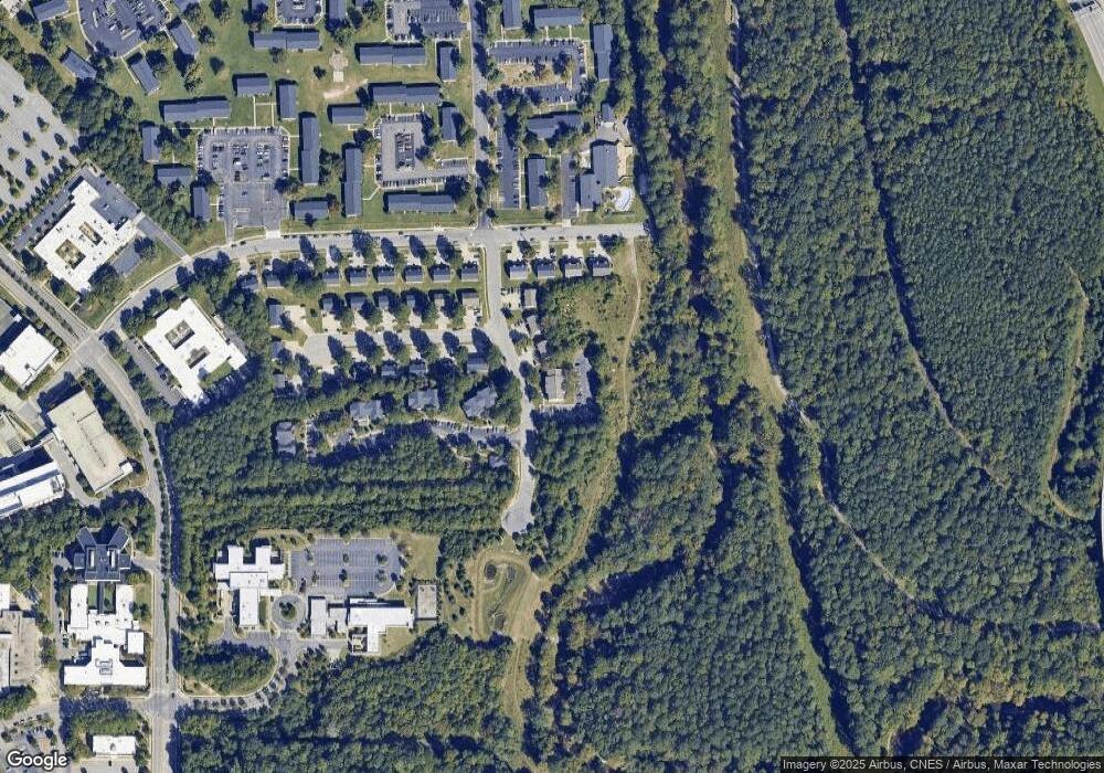
217 Merrell Dr Unit 203 Raleigh, NC 27610
King Charles NeighborhoodEstimated Value: $129,359 - $343,000
2
Beds
2
Baths
792
Sq Ft
$279/Sq Ft
Est. Value
About This Home
This home is located at 217 Merrell Dr Unit 203, Raleigh, NC 27610 and is currently estimated at $220,840, approximately $278 per square foot. 217 Merrell Dr Unit 203 is a home located in Wake County with nearby schools including Oak Grove Elementary, Dillard Drive Magnet Middle School, and Enloe High.
Ownership History
Date
Name
Owned For
Owner Type
Purchase Details
Closed on
Nov 20, 2013
Sold by
Stewart Stephen and Wilmington Savings Fund Societ
Bought by
Bradley Park Llc
Current Estimated Value
Purchase Details
Closed on
Dec 31, 2004
Sold by
D R Horton Inc Torrey
Bought by
Clemons Kawachi
Home Financials for this Owner
Home Financials are based on the most recent Mortgage that was taken out on this home.
Original Mortgage
$213,600
Interest Rate
7.6%
Mortgage Type
New Conventional
Create a Home Valuation Report for This Property
The Home Valuation Report is an in-depth analysis detailing your home's value as well as a comparison with similar homes in the area
Home Values in the Area
Average Home Value in this Area
Purchase History
| Date | Buyer | Sale Price | Title Company |
|---|---|---|---|
| Bradley Park Llc | $35,100 | None Available | |
| Clemons Kawachi | $267,000 | -- |
Source: Public Records
Mortgage History
| Date | Status | Borrower | Loan Amount |
|---|---|---|---|
| Previous Owner | Clemons Kawachi | $213,600 | |
| Closed | Clemons Kawachi | $53,400 |
Source: Public Records
Tax History Compared to Growth
Tax History
| Year | Tax Paid | Tax Assessment Tax Assessment Total Assessment is a certain percentage of the fair market value that is determined by local assessors to be the total taxable value of land and additions on the property. | Land | Improvement |
|---|---|---|---|---|
| 2025 | $1,015 | $114,038 | -- | $114,038 |
| 2024 | $1,010 | $114,038 | $0 | $114,038 |
| 2023 | $751 | $67,059 | $0 | $67,059 |
| 2022 | $699 | $67,059 | $0 | $67,059 |
| 2021 | $672 | $67,059 | $0 | $67,059 |
| 2020 | $661 | $67,059 | $0 | $67,059 |
| 2019 | $619 | $51,715 | $0 | $51,715 |
| 2018 | $585 | $51,715 | $0 | $51,715 |
| 2017 | $558 | $51,715 | $0 | $51,715 |
| 2016 | $547 | $51,715 | $0 | $51,715 |
| 2015 | -- | $57,744 | $0 | $57,744 |
| 2014 | $587 | $57,744 | $0 | $57,744 |
Source: Public Records
Map
Nearby Homes
- 3151 New Bern Ave
- 424 Nomar Rd
- 2918 Haven Rd
- 3408 Sosa Rd
- 2811 Haven Rd
- 407 Sustainable Way
- 3404 Baton Rd
- 2752 Milburnie Rd
- 2730 Milburnie Rd
- 2728 Milburnie Rd
- 105 Tall Rock Ct
- 720 Rawls Dr
- 113 Tall Rock Ct
- 2479 Milburnie Rd
- 2341 New Bern Ave
- 105 Stonelake Ct
- 3305 Friar Tuck Rd
- 2458 Stevens Rd
- 3204 Friar Tuck Rd
- 620 Sunnybrook Rd
- 217 Merrell Dr Unit 304
- 217 Merrell Dr Unit 303
- 217 Merrell Dr Unit 302
- 217 Merrell Dr Unit 301
- 217 Merrell Dr Unit 204
- 217 Merrell Dr Unit 202
- 217 Merrell Dr Unit 201
- 217 Merrell Dr Unit 104
- 217 Merrell Dr Unit 103
- 217 Merrell Dr Unit 102
- 217 Merrell Dr Unit 101
- 217 Merrell Dr
- 217 Merrell Dr Unit 12
- 217 Unit #304 Merrell Dr
- 3105 Holston Ln
- 3105 Holston Ln
- 3008 Holston Ln
- 100 Sunnybrook Rd
- 3401 Carl Sandburg Ct
- 220 Sunnybrook Dr
