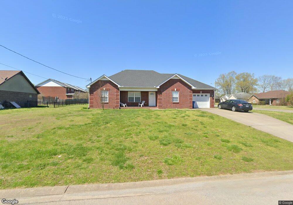
217 Mill Creek Ct Smyrna, TN 37167
Estimated Value: $341,022 - $378,000
--
Bed
--
Bath
1,400
Sq Ft
$258/Sq Ft
Est. Value
About This Home
This home is located at 217 Mill Creek Ct, Smyrna, TN 37167 and is currently estimated at $360,756, approximately $257 per square foot. 217 Mill Creek Ct is a home located in Rutherford County with nearby schools including Smyrna Primary School, Smyrna Middle School, and Smyrna High School.
Ownership History
Date
Name
Owned For
Owner Type
Purchase Details
Closed on
Jun 30, 2008
Sold by
Prince Properties Llc
Bought by
Love Reece A
Current Estimated Value
Home Financials for this Owner
Home Financials are based on the most recent Mortgage that was taken out on this home.
Original Mortgage
$146,740
Outstanding Balance
$94,714
Interest Rate
6.08%
Estimated Equity
$266,042
Purchase Details
Closed on
Sep 3, 1996
Sold by
Holigan Family Investments
Bought by
Drew Timothy B and Drew Anita
Create a Home Valuation Report for This Property
The Home Valuation Report is an in-depth analysis detailing your home's value as well as a comparison with similar homes in the area
Home Values in the Area
Average Home Value in this Area
Purchase History
| Date | Buyer | Sale Price | Title Company |
|---|---|---|---|
| Love Reece A | $147,900 | -- | |
| Drew Timothy B | $103,400 | -- |
Source: Public Records
Mortgage History
| Date | Status | Borrower | Loan Amount |
|---|---|---|---|
| Open | Drew Timothy B | $146,740 |
Source: Public Records
Tax History Compared to Growth
Tax History
| Year | Tax Paid | Tax Assessment Tax Assessment Total Assessment is a certain percentage of the fair market value that is determined by local assessors to be the total taxable value of land and additions on the property. | Land | Improvement |
|---|---|---|---|---|
| 2025 | $1,687 | $70,225 | $13,750 | $56,475 |
| 2024 | $1,687 | $70,225 | $13,750 | $56,475 |
| 2023 | $1,687 | $70,225 | $13,750 | $56,475 |
| 2022 | $1,504 | $70,225 | $13,750 | $56,475 |
| 2021 | $1,418 | $48,550 | $9,625 | $38,925 |
| 2020 | $1,418 | $48,550 | $9,625 | $38,925 |
| 2019 | $1,418 | $48,550 | $9,625 | $38,925 |
Source: Public Records
Map
Nearby Homes
- 10006 Nevada Ave
- 10000 Syracuse Dr
- 6012 Westfork Dr
- 11004 Nevada Ave
- 4030 Snowbird Dr
- 611 Cheyenne Ct
- 437 Burton Farms Dr
- 433 Burton Farms Dr
- 429 Burton Farms Dr
- 425 Burton Farms Dr
- 5620 Rooker Rd
- 3082 Elevation GHI Plan at Rookers Bend
- 2282 Elevation GHI Plan at Rookers Bend
- 2618 Elevation GHI Plan at Rookers Bend
- 2309 Elevation GHI Plan at Rookers Bend
- 2581 Elevation GHI Plan at Rookers Bend
- 2540 Elevation GHI Plan at Rookers Bend
- 1989 Elevation GHI Plan at Rookers Bend
- 2151 Elevation GHI Plan at Rookers Bend
- 2700 Elevation GHI Plan at Rookers Bend
- 219 Mill Creek Ct
- 215 Mill Creek Ct
- 216 Mill Creek Ct
- 221 Mill Creek Ct
- 213 Mill Creek Ct
- 224 Mill Creek Ct
- 214 Mill Creek Ct
- 218 Mill Creek Ct
- 226 Mill Creek Ct
- 222 Mill Creek Ct
- 212 Mill Creek Ct
- 220 Mill Creek Ct
- 806 Mill Creek Ct
- 228 Mill Creek Ct
- 223 Mill Creek Ct
- 9017 Nevada Ave
- 210 Mill Creek Ct
- 9019 Nevada Ave
- 11010 Packard Ct
- 9015 Nevada Ave