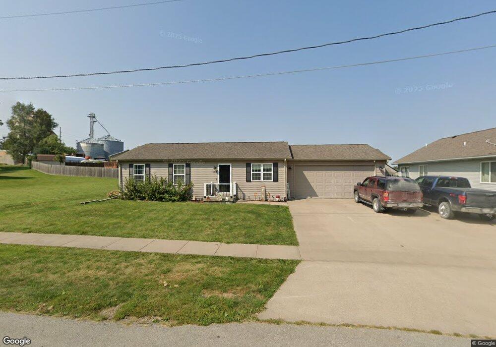
217 N Huskins St Lone Tree, IA 52755
Estimated Value: $212,460 - $257,000
4
Beds
2
Baths
1,200
Sq Ft
$196/Sq Ft
Est. Value
About This Home
This home is located at 217 N Huskins St, Lone Tree, IA 52755 and is currently estimated at $234,865, approximately $195 per square foot. 217 N Huskins St is a home located in Johnson County with nearby schools including Lone Tree Elementary School and Lone Tree Junior/Senior High School.
Ownership History
Date
Name
Owned For
Owner Type
Purchase Details
Closed on
Oct 17, 2016
Sold by
Geiger Joe E
Bought by
Waldschmidt Andrew J
Current Estimated Value
Purchase Details
Closed on
Aug 15, 2007
Sold by
Kramer Rodney L and Kramer Tina M
Bought by
Geiger Joe E
Home Financials for this Owner
Home Financials are based on the most recent Mortgage that was taken out on this home.
Original Mortgage
$104,000
Interest Rate
6.69%
Mortgage Type
New Conventional
Create a Home Valuation Report for This Property
The Home Valuation Report is an in-depth analysis detailing your home's value as well as a comparison with similar homes in the area
Home Values in the Area
Average Home Value in this Area
Purchase History
| Date | Buyer | Sale Price | Title Company |
|---|---|---|---|
| Waldschmidt Andrew J | $160,000 | None Available | |
| Geiger Joe E | $130,000 | None Available |
Source: Public Records
Mortgage History
| Date | Status | Borrower | Loan Amount |
|---|---|---|---|
| Previous Owner | Geiger Joe E | $104,000 |
Source: Public Records
Tax History Compared to Growth
Tax History
| Year | Tax Paid | Tax Assessment Tax Assessment Total Assessment is a certain percentage of the fair market value that is determined by local assessors to be the total taxable value of land and additions on the property. | Land | Improvement |
|---|---|---|---|---|
| 2025 | $2,346 | $187,900 | $32,300 | $155,600 |
| 2024 | $2,280 | $169,800 | $32,300 | $137,500 |
| 2023 | $2,154 | $169,800 | $32,300 | $137,500 |
| 2022 | $2,130 | $136,700 | $25,500 | $111,200 |
| 2021 | $2,228 | $136,700 | $25,500 | $111,200 |
| 2020 | $2,228 | $136,700 | $25,500 | $111,200 |
| 2019 | $2,024 | $136,700 | $25,500 | $111,200 |
| 2018 | $1,990 | $121,900 | $25,500 | $96,400 |
| 2017 | $2,084 | $121,900 | $25,500 | $96,400 |
| 2016 | $1,850 | $119,900 | $25,500 | $94,400 |
| 2015 | $1,850 | $119,900 | $25,500 | $94,400 |
| 2014 | $1,968 | $134,400 | $25,500 | $108,900 |
Source: Public Records
Map
Nearby Homes
- 221 W Commercial St
- 201 N Devoe St
- 407 E Elm St
- 745 N Perkins St
- 500 S Center St
- 106 Dorothy Ln
- 5888 Sand Rd SE
- 25840 Golden Oak Ln Lot 1
- 25838 Golden Oak Ln Lot 7
- 25836 Golden Oak Ln Lot 8
- 25832 Golden Oak Ln Lot 12
- 25736 Golden Pond Ln Se Lot 17
- 25738 Golden Pond Ln Se Lot 16
- 25824 Golden Oak Ln Lot 9
- 1092 Walnut Ave Unit 209
- 1092 Walnut Ave Unit 114 Bld D
- Lot 2 116th Cir
- Lot 39 Walter Mapp Dr
- 2 Commercial Dr
- 1436 Vine Ave
- 215 N Huskins St
- 201 W Kirkpatrick St
- 208 Taylor Dr
- 216 Taylor Dr
- 113 W Kirkpatrick St
- 208 N Huskins St
- 109 W Kirkpatrick St
- 220 Taylor Dr
- 209 Taylor Dr
- 107 W Kirkpatrick St
- 223 Taylor Dr
- 224 Taylor Dr
- 200 E Commercial St
- 200 W Commercial St
- 227 Taylor Dr
- 105 W Kirkpatrick St
- 228 Taylor Dr
- 118 W Kirkpatrick St
- 231 Taylor Dr
- 207 N Devoe St