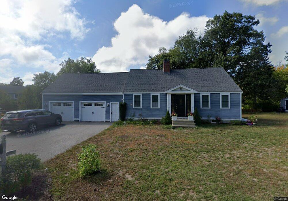
217 N Main St Cohasset, MA 02025
Estimated Value: $1,271,298 - $1,286,000
4
Beds
2
Baths
2,400
Sq Ft
$534/Sq Ft
Est. Value
About This Home
This home is located at 217 N Main St, Cohasset, MA 02025 and is currently estimated at $1,280,825, approximately $533 per square foot. 217 N Main St is a home located in Norfolk County with nearby schools including Joseph Osgood School, Deer Hill School, and Cohasset Middle School.
Ownership History
Date
Name
Owned For
Owner Type
Purchase Details
Closed on
Sep 19, 2025
Sold by
William Ft and Williams
Bought by
Oloskey Michael and Oloskey Paige
Current Estimated Value
Home Financials for this Owner
Home Financials are based on the most recent Mortgage that was taken out on this home.
Original Mortgage
$975,000
Outstanding Balance
$973,276
Interest Rate
6.63%
Mortgage Type
Purchase Money Mortgage
Estimated Equity
$307,549
Purchase Details
Closed on
Feb 15, 2019
Sold by
Williams Robert S and Williams Maria C
Bought by
Williams Ft and Williams
Create a Home Valuation Report for This Property
The Home Valuation Report is an in-depth analysis detailing your home's value as well as a comparison with similar homes in the area
Home Values in the Area
Average Home Value in this Area
Purchase History
| Date | Buyer | Sale Price | Title Company |
|---|---|---|---|
| Oloskey Michael | $1,274,000 | -- | |
| Williams Ft | -- | -- | |
| Williams Ft | -- | -- |
Source: Public Records
Mortgage History
| Date | Status | Borrower | Loan Amount |
|---|---|---|---|
| Open | Oloskey Michael | $975,000 |
Source: Public Records
Tax History Compared to Growth
Tax History
| Year | Tax Paid | Tax Assessment Tax Assessment Total Assessment is a certain percentage of the fair market value that is determined by local assessors to be the total taxable value of land and additions on the property. | Land | Improvement |
|---|---|---|---|---|
| 2025 | $10,546 | $910,700 | $301,500 | $609,200 |
| 2024 | $10,648 | $874,900 | $251,300 | $623,600 |
| 2023 | $10,035 | $850,400 | $226,800 | $623,600 |
| 2022 | $9,718 | $773,700 | $219,600 | $554,100 |
| 2021 | $9,458 | $725,300 | $219,600 | $505,700 |
| 2020 | $9,407 | $725,300 | $219,600 | $505,700 |
| 2019 | $9,356 | $725,300 | $219,600 | $505,700 |
| 2018 | $9,277 | $725,300 | $219,600 | $505,700 |
| 2017 | $8,771 | $671,600 | $199,600 | $472,000 |
| 2016 | $8,650 | $671,600 | $199,600 | $472,000 |
| 2015 | $8,536 | $671,600 | $199,600 | $472,000 |
| 2014 | $8,422 | $671,600 | $199,600 | $472,000 |
Source: Public Records
Map
Nearby Homes
- 211 N Main St
- 207 N Main St
- 228 N Main St
- 10 Quonahassit Trail
- 7 Quonahassit Trail
- 236 N Main St
- 200 N Main St
- 28 Quonahassit Trail
- 235 N Main St Unit 1
- 235 N Main St
- 8 Red Gate Ln
- 21 Quonahassit Trail
- 16 Quonahassit Trail
- 14 Red Gate Ln
- 1 Red Gate Ln
- 20 Red Gate Ln
- 5 Red Gate Ln
- 243 N Main St
- 9 Red Gate Ln
- 22 Red Gate Ln Unit 1