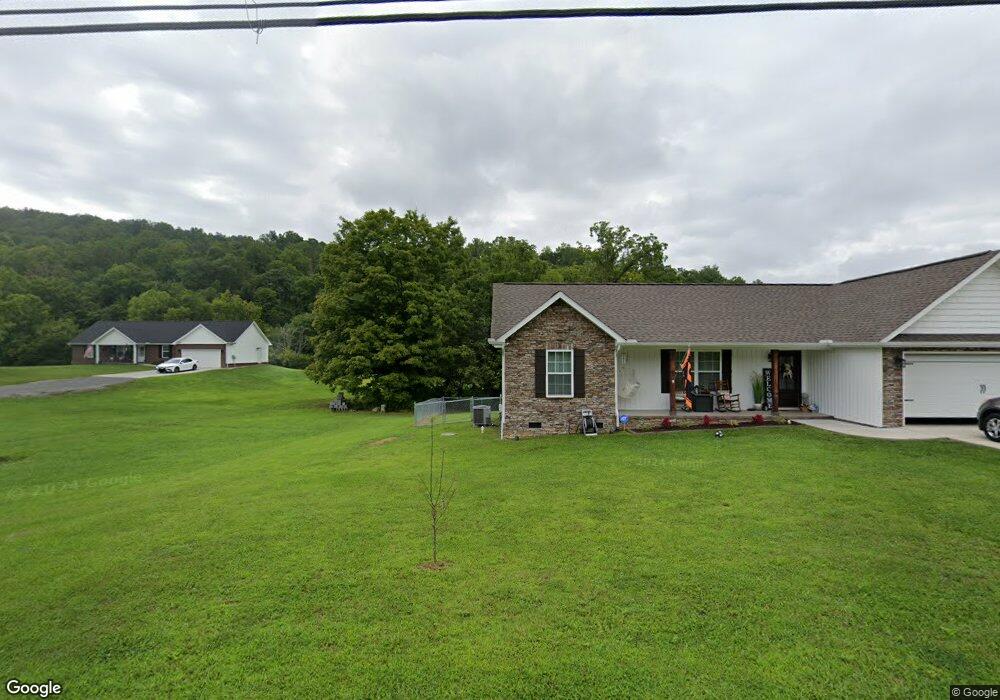
217 Old Maynardville Hwy W Maynardville, TN 37807
Paulette NeighborhoodEstimated Value: $309,100 - $347,000
--
Bed
--
Bath
1,368
Sq Ft
$242/Sq Ft
Est. Value
About This Home
This home is located at 217 Old Maynardville Hwy W, Maynardville, TN 37807 and is currently estimated at $331,275, approximately $242 per square foot. 217 Old Maynardville Hwy W is a home with nearby schools including Paulette Elementary School, Union County High School, and H Maynard Middle School.
Ownership History
Date
Name
Owned For
Owner Type
Purchase Details
Closed on
Mar 22, 2022
Sold by
Beeler and Melissa
Bought by
B & B General Partnership
Current Estimated Value
Purchase Details
Closed on
Mar 4, 2022
Sold by
Bunch William J
Bought by
Beeler Todd and Beeler Melissa
Purchase Details
Closed on
Sep 23, 2021
Sold by
Beeler Builders
Bought by
Long John R and Long Melanie D
Home Financials for this Owner
Home Financials are based on the most recent Mortgage that was taken out on this home.
Original Mortgage
$7,500
Interest Rate
2.15%
Create a Home Valuation Report for This Property
The Home Valuation Report is an in-depth analysis detailing your home's value as well as a comparison with similar homes in the area
Home Values in the Area
Average Home Value in this Area
Purchase History
| Date | Buyer | Sale Price | Title Company |
|---|---|---|---|
| B & B General Partnership | -- | Bundren Meredith S | |
| B & B General Partnership | -- | Bundren Meredith S | |
| Beeler Todd | $20,000 | First Priority Title | |
| Beeler Todd | $20,000 | First Priority Title | |
| Long John R | $217,000 | Tallent Title | |
| Long John R | $217,000 | Tallent Title |
Source: Public Records
Mortgage History
| Date | Status | Borrower | Loan Amount |
|---|---|---|---|
| Previous Owner | Long John R | $7,500 | |
| Previous Owner | Long John R | $213,069 | |
| Closed | Long John R | $0 |
Source: Public Records
Tax History Compared to Growth
Tax History
| Year | Tax Paid | Tax Assessment Tax Assessment Total Assessment is a certain percentage of the fair market value that is determined by local assessors to be the total taxable value of land and additions on the property. | Land | Improvement |
|---|---|---|---|---|
| 2024 | $1,080 | $56,825 | $6,250 | $50,575 |
| 2023 | $1,080 | $56,825 | $6,250 | $50,575 |
| 2022 | $903 | $56,825 | $6,250 | $50,575 |
| 2021 | $903 | $4,125 | $4,125 | $0 |
| 2020 | $0 | $4,125 | $4,125 | $0 |
Source: Public Records
Map
Nearby Homes
- 112 Dogwood St
- L-7 Williams Dr
- 275 Dogwood Ln
- 254 Dogwood Ln
- 213 Brock Rd
- 375 Russell Dr
- 215 Jamie St
- 211 Jamie St
- 323 Maynardville Hwy
- 9211 Brock Rd
- 9210 Brock Rd
- 0 Satterfield Rd Unit 1313221
- 7725 Texas Valley Rd
- 9024 Welch Rd
- 589 Possum Valley Rd
- 3717 Hickory Valley Rd
- 00 Old Tazewell Pike
- 8210 Wood Rd
- 346 Wolfenbarger Ln
- 250 Burkhart Rd
- 219 Old Maynardville Hwy W
- 221 Old Maynardville Hwy W
- 0 Old Maynardville Hwy
- 207 Old Maynardville Hwy W
- 205 Old Maynardville Hwy
- 223 Old Maynardville Hwy W
- 275 Old Maynardville Hwy W
- 225 Old Maynardville Hwy W
- 203 Old Maynardville Hwy W
- 201 Old Maynardville Hwy W
- 1535 Maynardville Hwy
- 1619 Maynardville Hwy
- 111 Dorothy Dr
- 199 Old Maynardville Hwy W
- 1603 Maynardville Hwy
- 211 Old Maynardville Hwy
- 1609 Maynardville Hwy
- 1609 Maynardville Hwy Unit 1609
- 115 Dorothy Dr
- 289 Old Maynardville Hwy W