217 Osbrook Point Pawcatuck, CT 06379
Estimated Value: $650,000 - $1,562,638
4
Beds
2
Baths
2,059
Sq Ft
$575/Sq Ft
Est. Value
About This Home
This home is located at 217 Osbrook Point, Pawcatuck, CT 06379 and is currently estimated at $1,184,410, approximately $575 per square foot. 217 Osbrook Point is a home located in New London County with nearby schools including Stonington Middle School, Stonington High School, and St. Michael School.
Ownership History
Date
Name
Owned For
Owner Type
Purchase Details
Closed on
Apr 15, 2016
Sold by
Coviello Gail R
Bought by
Levy Ret
Current Estimated Value
Purchase Details
Closed on
Mar 20, 2015
Sold by
Levy James S and Levy James S
Bought by
Levy Ret
Create a Home Valuation Report for This Property
The Home Valuation Report is an in-depth analysis detailing your home's value as well as a comparison with similar homes in the area
Home Values in the Area
Average Home Value in this Area
Purchase History
| Date | Buyer | Sale Price | Title Company |
|---|---|---|---|
| Levy Ret | $275,000 | -- | |
| Levy Ret | $275,000 | -- | |
| Levy Ret | -- | -- | |
| Levy Ret | -- | -- | |
| Levy James S | -- | -- | |
| Levy James S | -- | -- | |
| Levy Ret | $275,000 | -- | |
| Levy James S | -- | -- |
Source: Public Records
Tax History
| Year | Tax Paid | Tax Assessment Tax Assessment Total Assessment is a certain percentage of the fair market value that is determined by local assessors to be the total taxable value of land and additions on the property. | Land | Improvement |
|---|---|---|---|---|
| 2025 | $19,001 | $992,200 | $715,000 | $277,200 |
| 2024 | $18,187 | $992,200 | $715,000 | $277,200 |
| 2023 | $18,018 | $992,200 | $715,000 | $277,200 |
| 2022 | $21,510 | $878,300 | $714,800 | $163,500 |
| 2021 | $3,951 | $878,300 | $714,800 | $163,500 |
| 2020 | $3,954 | $878,300 | $714,800 | $163,500 |
| 2019 | $3,792 | $878,300 | $714,800 | $163,500 |
| 2018 | $20,649 | $878,300 | $714,800 | $163,500 |
| 2017 | $20,608 | $863,700 | $714,800 | $148,900 |
| 2016 | $19,917 | $863,700 | $714,800 | $148,900 |
| 2015 | $19,062 | $863,700 | $714,800 | $148,900 |
| 2014 | $18,293 | $863,700 | $714,800 | $148,900 |
Source: Public Records
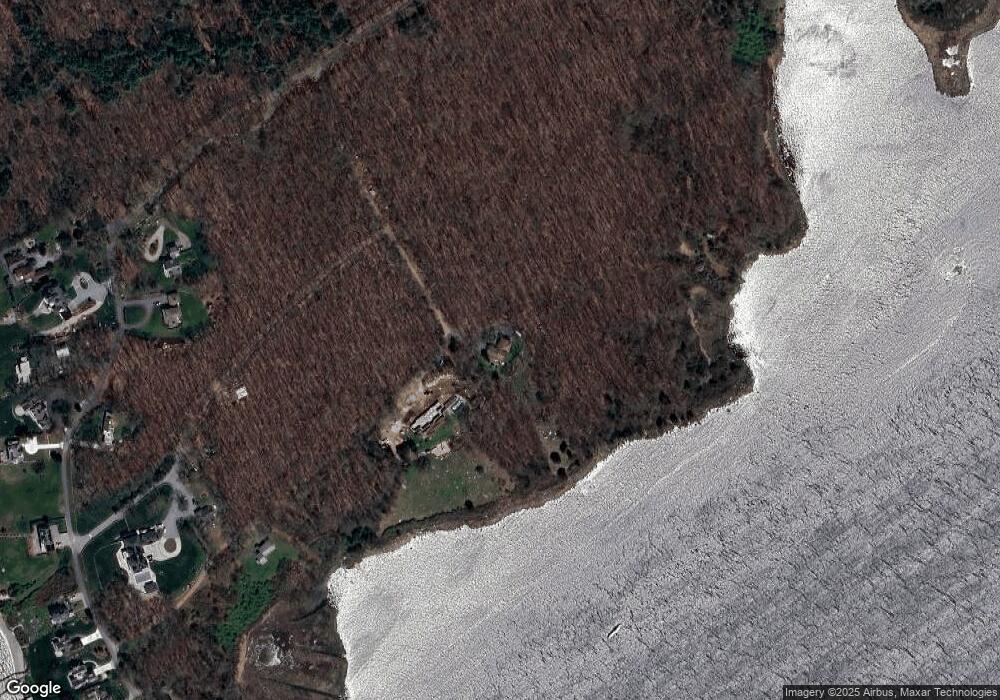
Map
Nearby Homes
- 9 Champlin Dr
- 60 Avondale Rd
- 20 Browning Rd
- 4 Quail Run
- 1 Bluff Ave Unit 4-1
- 417 River Rd
- 0 Green Ave
- 16 Green Ave
- 4 Shore Rd
- 45 Summertime Cir
- 25 Summertime Cir
- 38 Summertime Cir
- 23 Summertime Cir
- 22 Summertime Cir
- 39 Summertime Cir
- 10 Tristam St
- 18 Timothy Dr
- 27 Benson Ave
- 9 Compass Way Unit 201
- 9 Compass Way Unit 202
- 219 Osbrook Point
- 267 Osbrook Point
- 267 Osbrook Point
- 265 Osbrook Point
- 287 Osbrook Point Pointe
- 287 Osbrook Point
- 273 Osbrook Point
- 269 Osbrook Point
- 289 Osbrook Point Unit RD
- 289 Osbrook Point
- 256 Osbrook Point
- 264 Osbrook Point
- 248 Osbrook Point
- 274 Osbrook Point
- 278 Osbrook Point
- 282 Osbrook Point
- 282 Osbrook Point Rd
- 286 Osbrook Point
- 294 Osbrook Point
- 305 Osbrook Point
Your Personal Tour Guide
Ask me questions while you tour the home.