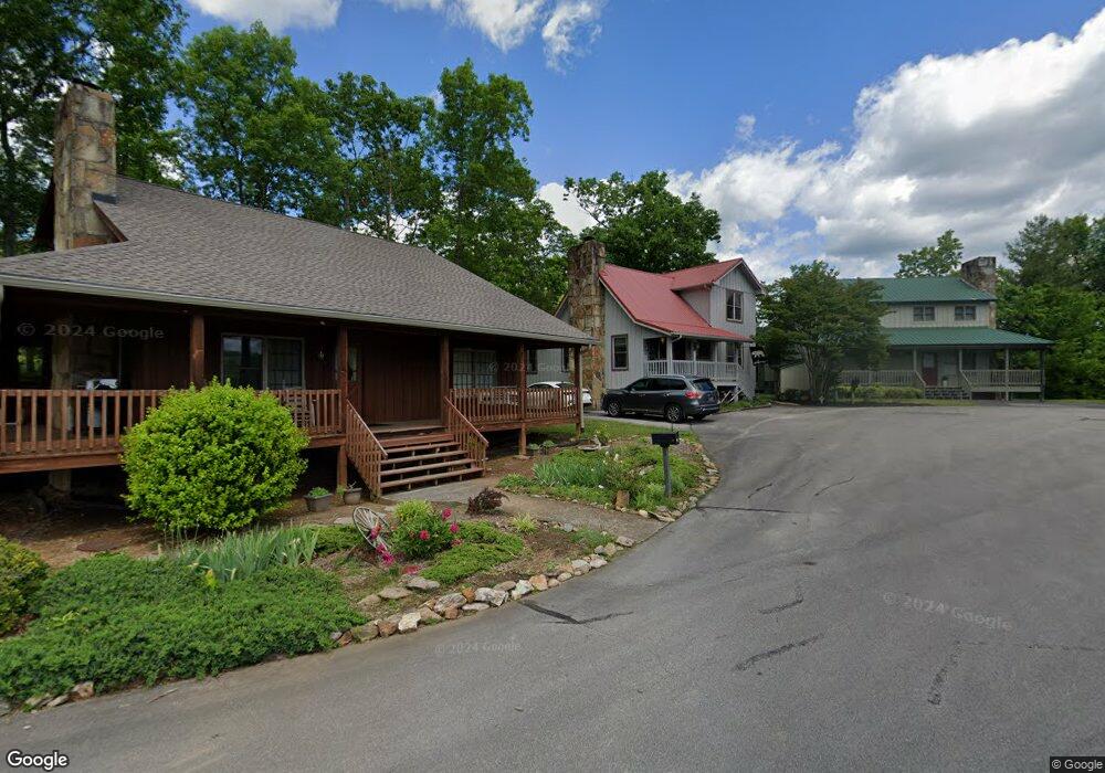
217 Pioneer Trace Townsend, TN 37882
Estimated Value: $407,284 - $567,000
2
Beds
2
Baths
1,046
Sq Ft
$468/Sq Ft
Est. Value
About This Home
This home is located at 217 Pioneer Trace, Townsend, TN 37882 and is currently estimated at $489,821, approximately $468 per square foot. 217 Pioneer Trace is a home located in Blount County with nearby schools including Townsend Elementary School, Heritage Middle School, and Heritage High School.
Ownership History
Date
Name
Owned For
Owner Type
Purchase Details
Closed on
Jun 25, 2002
Bought by
Rochelle Andy
Current Estimated Value
Home Financials for this Owner
Home Financials are based on the most recent Mortgage that was taken out on this home.
Original Mortgage
$133,200
Outstanding Balance
$56,081
Interest Rate
6.75%
Estimated Equity
$433,740
Purchase Details
Closed on
Sep 1, 1998
Sold by
Southart Raymond F
Bought by
Greenway Joseph
Home Financials for this Owner
Home Financials are based on the most recent Mortgage that was taken out on this home.
Original Mortgage
$139,500
Interest Rate
6.99%
Purchase Details
Closed on
Sep 30, 1991
Bought by
Southart Raymond F and Southart Jeanette A
Purchase Details
Closed on
Nov 22, 1988
Bought by
Reagal Real Est Co
Create a Home Valuation Report for This Property
The Home Valuation Report is an in-depth analysis detailing your home's value as well as a comparison with similar homes in the area
Home Values in the Area
Average Home Value in this Area
Purchase History
| Date | Buyer | Sale Price | Title Company |
|---|---|---|---|
| Rochelle Andy | $166,500 | -- | |
| Greenway Joseph | $155,000 | -- | |
| Southart Raymond F | $84,000 | -- | |
| Reagal Real Est Co | -- | -- |
Source: Public Records
Mortgage History
| Date | Status | Borrower | Loan Amount |
|---|---|---|---|
| Open | Reagal Real Est Co | $133,200 | |
| Previous Owner | Reagal Real Est Co | $139,500 |
Source: Public Records
Tax History Compared to Growth
Tax History
| Year | Tax Paid | Tax Assessment Tax Assessment Total Assessment is a certain percentage of the fair market value that is determined by local assessors to be the total taxable value of land and additions on the property. | Land | Improvement |
|---|---|---|---|---|
| 2025 | $1,158 | $72,800 | $0 | $0 |
| 2024 | $1,158 | $72,800 | $23,000 | $49,800 |
| 2023 | $1,158 | $72,800 | $23,000 | $49,800 |
| 2022 | $1,274 | $51,575 | $20,125 | $31,450 |
| 2021 | $1,274 | $51,575 | $20,125 | $31,450 |
| 2020 | $1,274 | $51,575 | $20,125 | $31,450 |
| 2019 | $1,274 | $51,575 | $20,125 | $31,450 |
| 2018 | $1,275 | $51,625 | $20,125 | $31,500 |
| 2017 | $1,275 | $51,625 | $20,125 | $31,500 |
| 2016 | $1,275 | $51,625 | $20,125 | $31,500 |
| 2015 | $1,110 | $51,625 | $20,125 | $31,500 |
| 2014 | $1,124 | $51,625 | $20,125 | $31,500 |
| 2013 | $1,124 | $52,275 | $0 | $0 |
Source: Public Records
Map
Nearby Homes
- 211 Pioneer Trace
- 0 Laurel Rd
- 00 Laurel Rd
- 815 Hunters Run Rd Unit C (3)
- 745 Hunters Run Rd
- 735 Hunters Run Rd
- 731 Hunters Run Rd
- 114 Cutter Gap Rd
- 413 Settlers Rise Rd
- 720 Hunters Run Rd
- 123 Cutter Gap Rd
- 278 Laurel Rd
- 132 Cutter Gap Rd
- 106 Fairway Cir
- 438 Kurts Corner Rd
- 380 Laurel Rd
- 0 Ace Gap Rd Unit 1300925
- 405 Laurel Trace Rd
- 849 Hawk View Dr
- 516 Clearwater Cir
- 221 Pioneer Trace
- 218 Pioneer Trace
- 214 Pioneer Trace
- 0 Laurel Rd Unit 220874
- 0 Laurel Rd Unit 216376
- 0 Laurel Rd Unit 241387
- 0 Laurel Rd Unit 1026406
- 0 Laurel Rd
- 0 Laurel Rd
- 208 Pioneer Trace
- 00 Laurel Rd Unit 12r
- Lot 4 Laurel Rd
- 4 Laurel Rd
- Lot 27 Laurel Rd
- Lot 14 Laurel Rd
- T B D Laurel Rd
- Tbd Laurel Rd
- 204 Pioneer Trace
- Lot 8 Hunters Run
- Lot 9 Hunters Run