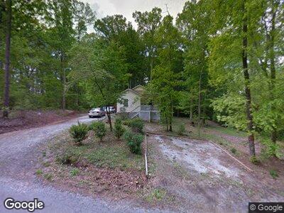
217 Pruitt Dr Westminster, SC 29693
Estimated Value: $205,834 - $261,000
3
Beds
2
Baths
1,650
Sq Ft
$139/Sq Ft
Est. Value
About This Home
This home is located at 217 Pruitt Dr, Westminster, SC 29693 and is currently estimated at $228,709, approximately $138 per square foot. 217 Pruitt Dr is a home located in Oconee County with nearby schools including Westminster Elementary School, West Oak Middle School, and West-Oak High School.
Ownership History
Date
Name
Owned For
Owner Type
Purchase Details
Closed on
Jan 9, 2021
Sold by
Sullivan Annie Teresa
Bought by
Sullivan Travis
Current Estimated Value
Home Financials for this Owner
Home Financials are based on the most recent Mortgage that was taken out on this home.
Original Mortgage
$112,762
Interest Rate
2.98%
Mortgage Type
FHA
Purchase Details
Closed on
Jan 28, 2011
Sold by
Nott Gail M
Bought by
Sullivan Annie Teresa
Home Financials for this Owner
Home Financials are based on the most recent Mortgage that was taken out on this home.
Original Mortgage
$82,500
Interest Rate
4.82%
Mortgage Type
Purchase Money Mortgage
Create a Home Valuation Report for This Property
The Home Valuation Report is an in-depth analysis detailing your home's value as well as a comparison with similar homes in the area
Home Values in the Area
Average Home Value in this Area
Purchase History
| Date | Buyer | Sale Price | Title Company |
|---|---|---|---|
| Sullivan Travis | $160,000 | None Available | |
| Sullivan Annie Teresa | $90,000 | -- |
Source: Public Records
Mortgage History
| Date | Status | Borrower | Loan Amount |
|---|---|---|---|
| Previous Owner | Sullivan Travis | $112,762 | |
| Previous Owner | Sullivan Annie Teresa | $82,500 | |
| Previous Owner | Nott Gail M | $76,500 |
Source: Public Records
Tax History Compared to Growth
Tax History
| Year | Tax Paid | Tax Assessment Tax Assessment Total Assessment is a certain percentage of the fair market value that is determined by local assessors to be the total taxable value of land and additions on the property. | Land | Improvement |
|---|---|---|---|---|
| 2024 | $1,199 | $6,055 | $263 | $5,792 |
| 2023 | $1,207 | $6,055 | $263 | $5,792 |
| 2022 | $1,845 | $3,915 | $343 | $3,572 |
| 2021 | $186 | $3,719 | $343 | $3,376 |
| 2020 | $186 | $3,719 | $343 | $3,376 |
| 2019 | $186 | $0 | $0 | $0 |
| 2018 | $815 | $0 | $0 | $0 |
| 2017 | $729 | $0 | $0 | $0 |
| 2016 | $729 | $0 | $0 | $0 |
| 2015 | -- | $0 | $0 | $0 |
| 2014 | -- | $3,620 | $404 | $3,217 |
| 2013 | -- | $0 | $0 | $0 |
Source: Public Records
Map
Nearby Homes
- 207 College St
- 519 E North Ave
- 106 B St
- 202 S Broad St
- 204 S Broad St
- 00 Camellia St
- 207 Retreat St
- 208 Retreat St
- 119 Riley St
- 115 Riley St
- 401 Highland Ave
- 404 Highland Ave
- 108 Wood St
- 102 Wood St Unit (Lot 1)
- 102 Wood St Unit (Lot 2)
- 403 S Pew St
- 105 Louise Ct
- 209 Westminster Hwy
- 309 S Isundega St
- 00 Toccoa Hwy Unit Tract 1
- 217 Pruitt Dr
- 210 Pruitt Dr
- 211 Pruitt Dr
- 214 N Broad St
- 212 N Broad St
- 15 Anderson Ave
- 13 Anderson Ave
- 207 Pruitt Dr
- 11 Anderson Ave
- 309 Lakeside Dr
- 206 N Broad St
- 205 Pruitt Dr
- 204 N Broad St
- 313 Lakeside Dr
- 7 Anderson Ave
- 204 N Broad St
- 204 N Broad St
- 305 Lakeside Dr
- 339 Lakeside Dr
- 5 Anderson Ave