217 Rockridge Loop Eugene, OR 97405
Crest Drive NeighborhoodEstimated Value: $728,425 - $775,000
4
Beds
4
Baths
2,443
Sq Ft
$311/Sq Ft
Est. Value
About This Home
This home is located at 217 Rockridge Loop, Eugene, OR 97405 and is currently estimated at $759,356, approximately $310 per square foot. 217 Rockridge Loop is a home located in Lane County with nearby schools including Edgewood Community Elementary School, Spencer Butte Middle School, and South Eugene High School.
Ownership History
Date
Name
Owned For
Owner Type
Purchase Details
Closed on
Sep 19, 2012
Sold by
Green Janet L and Bryant Michael N
Bought by
Marietta Jack Donald and Marietta Katherine Meister
Current Estimated Value
Purchase Details
Closed on
Apr 24, 2012
Sold by
Green Janet L and Bryant Michael N
Bought by
Green Janet L and Bryant Michael N
Purchase Details
Closed on
May 7, 2010
Sold by
Murphy Bernard T
Bought by
Green Janet L and Bryant Michael N
Home Financials for this Owner
Home Financials are based on the most recent Mortgage that was taken out on this home.
Original Mortgage
$232,600
Interest Rate
5.03%
Mortgage Type
New Conventional
Purchase Details
Closed on
Dec 14, 2000
Sold by
Crockett David L and Crockett V A
Bought by
Murphy Bernard T and Green Janet L
Home Financials for this Owner
Home Financials are based on the most recent Mortgage that was taken out on this home.
Original Mortgage
$125,000
Interest Rate
7.36%
Create a Home Valuation Report for This Property
The Home Valuation Report is an in-depth analysis detailing your home's value as well as a comparison with similar homes in the area
Home Values in the Area
Average Home Value in this Area
Purchase History
| Date | Buyer | Sale Price | Title Company |
|---|---|---|---|
| Marietta Jack Donald | $338,500 | Cascade Title Company | |
| Green Janet L | -- | None Available | |
| Green Janet L | -- | Evergreen Land Title Company | |
| Murphy Bernard T | $284,000 | Western Title & Escrow Compa |
Source: Public Records
Mortgage History
| Date | Status | Borrower | Loan Amount |
|---|---|---|---|
| Previous Owner | Green Janet L | $232,600 | |
| Previous Owner | Murphy Bernard T | $125,000 |
Source: Public Records
Tax History
| Year | Tax Paid | Tax Assessment Tax Assessment Total Assessment is a certain percentage of the fair market value that is determined by local assessors to be the total taxable value of land and additions on the property. | Land | Improvement |
|---|---|---|---|---|
| 2025 | $9,720 | $498,868 | -- | -- |
| 2024 | $9,599 | $484,338 | -- | -- |
| 2023 | $9,599 | $470,232 | $0 | $0 |
| 2022 | $8,992 | $456,536 | $0 | $0 |
| 2021 | $8,335 | $443,239 | $0 | $0 |
| 2020 | $8,249 | $430,330 | $0 | $0 |
| 2019 | $7,833 | $417,797 | $0 | $0 |
| 2018 | $7,215 | $393,815 | $0 | $0 |
| 2017 | $6,781 | $393,815 | $0 | $0 |
| 2016 | $6,518 | $382,345 | $0 | $0 |
| 2015 | $6,342 | $371,209 | $0 | $0 |
| 2014 | $6,247 | $360,397 | $0 | $0 |
Source: Public Records
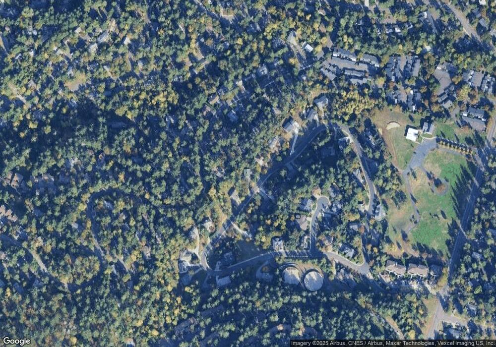
Map
Nearby Homes
- 278 Rockridge Ct
- 152 Treehill Loop Unit 152
- 151 Treehill Loop Unit 151
- 143 Treehill Loop Unit 143
- 126 Treehill Loop Unit 126
- 422 Stonewood Dr Unit 422
- 418 Stonewood Dr Unit 418
- 36 Westbrook Way
- 21 Westbrook Way
- 17 Westbrook Way
- 223 Trailside Loop Unit 223
- 653 Brookside Dr
- 0 Pine View Ct Unit 758820410
- 784 Brookside Dr
- 4734 Brookwood St
- 395 E 46th Ave
- 170 E 40th Ave
- 4040 Southpointe Dr
- 806 Sundance St
- 4845 Brookwood St
- 221 Rockridge Loop
- 215 Rockridge Loop
- 436 Brookside Dr
- 426 Brookside Dr
- 0 Rockridge Ln Unit 20685023
- 220 Rockridge Loop
- 438 Brookside Dr
- 211 Rockridge Loop
- 422 Brookside Dr
- 214 Rockridge Loop
- 222 Rockridge Loop
- 394 Brookside Dr
- 420 Brookside Dr
- 384 Brookside Dr
- 406 Brookside Dr
- 441 Brookside Dr
- 227 Rockridge Loop
- 0 Rockridge Loop Unit 4 24699101
- 0 Rockridge Loop Unit 21 22512892
- 0 Rockridge Loop Unit 21465604
Your Personal Tour Guide
Ask me questions while you tour the home.