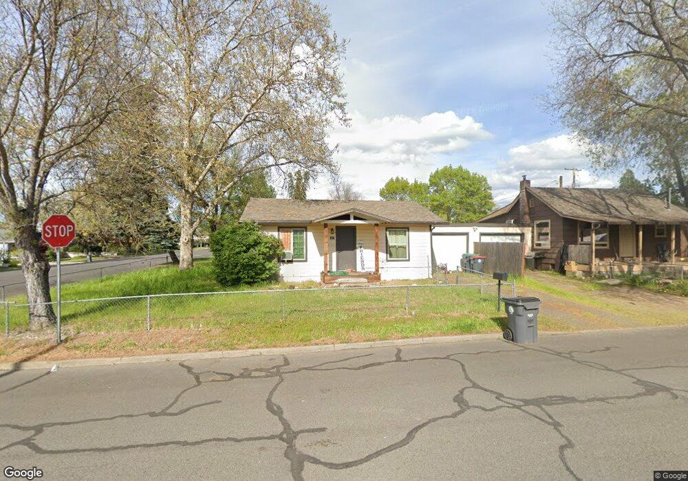
217 S 5th St Central Point, OR 97502
Estimated Value: $278,000 - $356,000
4
Beds
2
Baths
1,896
Sq Ft
$165/Sq Ft
Est. Value
About This Home
This home is located at 217 S 5th St, Central Point, OR 97502 and is currently estimated at $313,102, approximately $165 per square foot. 217 S 5th St is a home located in Jackson County with nearby schools including Central Point Elementary School, Scenic Middle School, and Crater High School.
Ownership History
Date
Name
Owned For
Owner Type
Purchase Details
Closed on
Mar 18, 2021
Sold by
Schiller Enterprises Inc
Bought by
Slusher Michael and Slusher Samantha
Current Estimated Value
Purchase Details
Closed on
Feb 18, 2015
Sold by
Walter Bright Investments Llc
Bought by
Schiller Enterprises Inc
Home Financials for this Owner
Home Financials are based on the most recent Mortgage that was taken out on this home.
Original Mortgage
$50,000
Interest Rate
3.66%
Mortgage Type
Purchase Money Mortgage
Purchase Details
Closed on
Jan 22, 2015
Sold by
Henney Thomas Noel and Henney Sheri L
Bought by
Walter Bright Investments Llc
Home Financials for this Owner
Home Financials are based on the most recent Mortgage that was taken out on this home.
Original Mortgage
$50,000
Interest Rate
3.66%
Mortgage Type
Purchase Money Mortgage
Create a Home Valuation Report for This Property
The Home Valuation Report is an in-depth analysis detailing your home's value as well as a comparison with similar homes in the area
Home Values in the Area
Average Home Value in this Area
Purchase History
| Date | Buyer | Sale Price | Title Company |
|---|---|---|---|
| Slusher Michael | $310,000 | Ticor Title Company Of Or | |
| Schiller Enterprises Inc | $47,500 | First American Title | |
| Walter Bright Investments Llc | $27,501 | None Available |
Source: Public Records
Mortgage History
| Date | Status | Borrower | Loan Amount |
|---|---|---|---|
| Previous Owner | Schiller Enterprises Inc | $50,000 |
Source: Public Records
Tax History Compared to Growth
Tax History
| Year | Tax Paid | Tax Assessment Tax Assessment Total Assessment is a certain percentage of the fair market value that is determined by local assessors to be the total taxable value of land and additions on the property. | Land | Improvement |
|---|---|---|---|---|
| 2025 | $2,281 | $137,220 | $61,620 | $75,600 |
| 2024 | $2,281 | $133,230 | $59,830 | $73,400 |
| 2023 | $2,208 | $129,350 | $58,090 | $71,260 |
| 2022 | $2,157 | $129,350 | $58,090 | $71,260 |
| 2021 | $2,095 | $125,590 | $56,390 | $69,200 |
| 2020 | $2,034 | $121,940 | $54,750 | $67,190 |
| 2019 | $1,984 | $114,950 | $51,600 | $63,350 |
| 2018 | $1,924 | $111,610 | $50,100 | $61,510 |
| 2017 | $1,875 | $111,610 | $50,100 | $61,510 |
| 2016 | $1,821 | $105,210 | $47,230 | $57,980 |
| 2015 | $1,443 | $88,340 | $43,010 | $45,330 |
| 2014 | $1,372 | $83,890 | $39,820 | $44,070 |
Source: Public Records
Map
Nearby Homes
- 350 Alder St
- 715 Ash St
- 531 Bush St
- 340 Freeman Rd
- 840 Ash St
- 114 Cedar St
- 555 Freeman Rd Unit 128
- 555 Freeman Rd Unit 146
- 555 Freeman Rd Unit 204
- 555 Freeman Rd Unit 209
- 144 N 5th St
- 546 Laurel St
- 845 Manzanita St
- 755 S 4th St
- 301 Freeman Rd Unit 100
- 301 Freeman Rd Unit 23
- 301 Freeman Rd Unit 85
- 448 Cheney Loop
- 431 N 5th St
- 571 Briarwood Dr