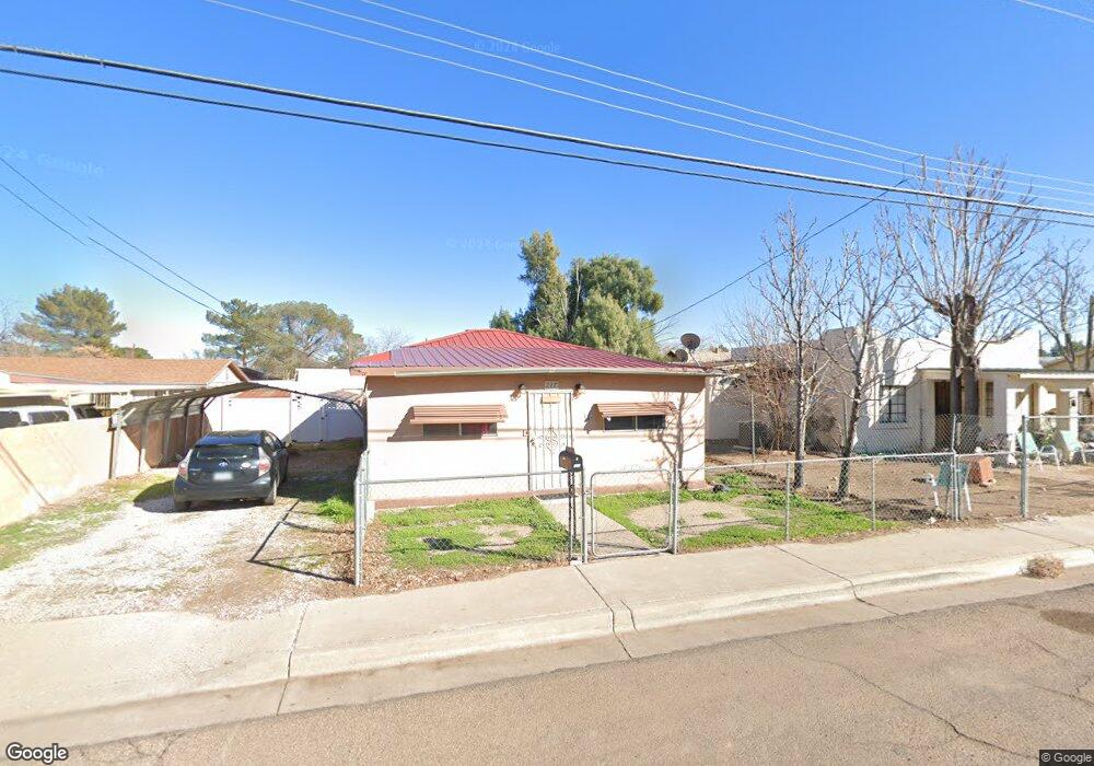
217 S 8th Ave Safford, AZ 85546
Estimated Value: $149,545 - $181,000
--
Bed
--
Bath
1,188
Sq Ft
$137/Sq Ft
Est. Value
About This Home
This home is located at 217 S 8th Ave, Safford, AZ 85546 and is currently estimated at $162,848, approximately $137 per square foot. 217 S 8th Ave is a home located in Graham County with nearby schools including Ruth Powell Elementary School, Dorothy Stinson School, and Lafe Nelson School.
Ownership History
Date
Name
Owned For
Owner Type
Purchase Details
Closed on
Jan 4, 2022
Sold by
St Hilaire Joseph and St Hilaire Ethel
Bought by
St Hilaire Mark and St Hilaire Nancy
Current Estimated Value
Home Financials for this Owner
Home Financials are based on the most recent Mortgage that was taken out on this home.
Original Mortgage
$86,186
Outstanding Balance
$79,442
Interest Rate
3.12%
Mortgage Type
FHA
Estimated Equity
$83,406
Purchase Details
Closed on
Jul 25, 2006
Sold by
St Hillaire Joseph
Bought by
St Hillaire Joseph and St Hillaire Ethel
Create a Home Valuation Report for This Property
The Home Valuation Report is an in-depth analysis detailing your home's value as well as a comparison with similar homes in the area
Home Values in the Area
Average Home Value in this Area
Purchase History
| Date | Buyer | Sale Price | Title Company |
|---|---|---|---|
| St Hilaire Mark | -- | None Available | |
| St Hillaire Joseph | -- | Accommodation |
Source: Public Records
Mortgage History
| Date | Status | Borrower | Loan Amount |
|---|---|---|---|
| Open | St Hilaire Mark | $86,186 |
Source: Public Records
Tax History Compared to Growth
Tax History
| Year | Tax Paid | Tax Assessment Tax Assessment Total Assessment is a certain percentage of the fair market value that is determined by local assessors to be the total taxable value of land and additions on the property. | Land | Improvement |
|---|---|---|---|---|
| 2026 | $430 | -- | -- | -- |
| 2025 | $430 | $8,931 | $847 | $8,084 |
| 2024 | $447 | $8,558 | $847 | $7,711 |
| 2023 | $447 | $7,323 | $847 | $6,476 |
| 2022 | $439 | $6,380 | $847 | $5,533 |
| 2021 | $485 | $0 | $0 | $0 |
| 2020 | $466 | $0 | $0 | $0 |
| 2019 | $491 | $0 | $0 | $0 |
| 2018 | $467 | $0 | $0 | $0 |
| 2017 | $418 | $0 | $0 | $0 |
| 2016 | $384 | $0 | $0 | $0 |
| 2015 | $351 | $0 | $0 | $0 |
Source: Public Records
Map
Nearby Homes
- 216 S 6th Ave
- 716 S 11th Ave
- 1491 W Thatcher Blvd Unit 107
- 1108 S 9th Ave
- 1108 S 9th Place
- 1209 S 6th Ave
- 1544 Stone Willow Dr
- 1217 S 7th Ave
- 1565 W Cobblestone Dr
- 1105 S 1st Ave
- 1302 S 7th Ave
- 1313 S 6th Ave
- 1309 S Bingham Place
- 1204 S 1st Ave
- 1210 S 1st Ave
- 120 Relation St Unit 2
- 1115 W Relation St
- 514 W 15th St
- 1609 S 12th Ave
- 832 W Stirrup Dr