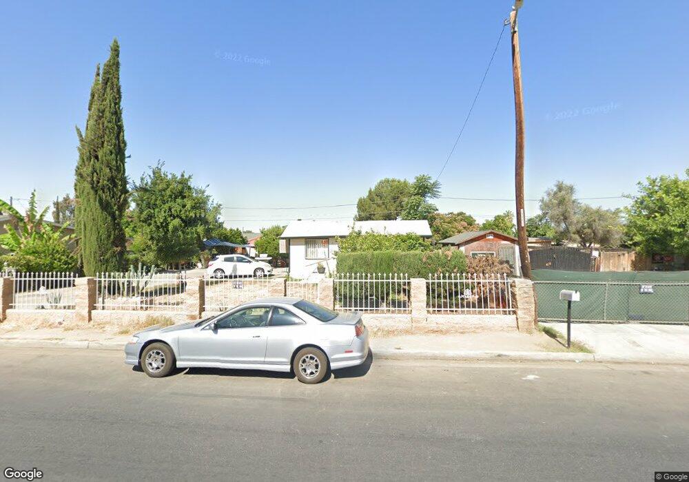
217 S King St Bakersfield, CA 93307
Lakeview NeighborhoodEstimated Value: $169,000 - $212,000
2
Beds
1
Bath
816
Sq Ft
$233/Sq Ft
Est. Value
About This Home
This home is located at 217 S King St, Bakersfield, CA 93307 and is currently estimated at $190,491, approximately $233 per square foot. 217 S King St is a home located in Kern County with nearby schools including Fremont Elementary School, Chipman Junior High School, and Bakersfield High School.
Ownership History
Date
Name
Owned For
Owner Type
Purchase Details
Closed on
Apr 24, 2009
Sold by
Deutsche Bank National Trust Company
Bought by
Garcia Esteban G
Current Estimated Value
Purchase Details
Closed on
Oct 15, 2008
Sold by
Guzman Juan
Bought by
Deutsche Bank National Trust Co
Purchase Details
Closed on
May 15, 2006
Sold by
Villanueva Ana M
Bought by
Guzman Juan
Home Financials for this Owner
Home Financials are based on the most recent Mortgage that was taken out on this home.
Original Mortgage
$136,000
Interest Rate
8.5%
Mortgage Type
Balloon
Purchase Details
Closed on
Apr 19, 2006
Sold by
Benitez Pedro Carrillo and Benitez Carmel
Bought by
Guzman Juan
Home Financials for this Owner
Home Financials are based on the most recent Mortgage that was taken out on this home.
Original Mortgage
$136,000
Interest Rate
8.5%
Mortgage Type
Balloon
Create a Home Valuation Report for This Property
The Home Valuation Report is an in-depth analysis detailing your home's value as well as a comparison with similar homes in the area
Home Values in the Area
Average Home Value in this Area
Purchase History
| Date | Buyer | Sale Price | Title Company |
|---|---|---|---|
| Garcia Esteban G | $20,000 | First American Title Company | |
| Deutsche Bank National Trust Co | $45,000 | Landsafe Title | |
| Guzman Juan | -- | Southland Title Corporation | |
| Guzman Juan | $183,000 | Southland Title Company |
Source: Public Records
Mortgage History
| Date | Status | Borrower | Loan Amount |
|---|---|---|---|
| Previous Owner | Guzman Juan | $136,000 |
Source: Public Records
Tax History
| Year | Tax Paid | Tax Assessment Tax Assessment Total Assessment is a certain percentage of the fair market value that is determined by local assessors to be the total taxable value of land and additions on the property. | Land | Improvement |
|---|---|---|---|---|
| 2025 | $1,004 | $25,736 | $6,429 | $19,307 |
| 2024 | $975 | $25,232 | $6,303 | $18,929 |
| 2023 | $975 | $24,738 | $6,180 | $18,558 |
| 2022 | $935 | $24,254 | $6,059 | $18,195 |
| 2021 | $841 | $23,780 | $5,941 | $17,839 |
| 2020 | $808 | $23,538 | $5,881 | $17,657 |
| 2019 | $793 | $23,538 | $5,881 | $17,657 |
| 2018 | $779 | $22,625 | $5,653 | $16,972 |
| 2017 | $771 | $22,183 | $5,543 | $16,640 |
| 2016 | $739 | $21,749 | $5,435 | $16,314 |
| 2015 | $728 | $21,423 | $5,354 | $16,069 |
| 2014 | $706 | $21,005 | $5,250 | $15,755 |
Source: Public Records
Map
Nearby Homes
- 931 Texas St
- 137 S South King St
- 145 Kincaid St
- 301 Kincaid St
- 314 Augusta St
- 108 Augusta St
- 325 Kincaid St
- 126 S Owens St
- 100 S Owens St
- 30 S Owens St
- 315 S Owens St
- 225 S Owens St
- 110 S Owens St
- 102 Northrup St
- 1104 Virginia Ave
- 21 Northrup St
- 347 Northrup St
- 104 S Kincaid St
- 221 Wood St
- 126 Clyde St
Your Personal Tour Guide
Ask me questions while you tour the home.