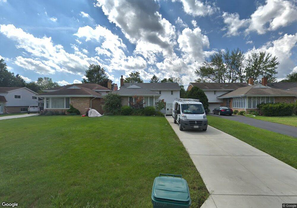
217 Voltz Rd Northbrook, IL 60062
Estimated Value: $565,471 - $571,000
3
Beds
3
Baths
1,592
Sq Ft
$357/Sq Ft
Est. Value
About This Home
This home is located at 217 Voltz Rd, Northbrook, IL 60062 and is currently estimated at $568,368, approximately $357 per square foot. 217 Voltz Rd is a home located in Cook County with nearby schools including Middlefork Primary School, Sunset Ridge Elementary School, and New Trier Township High School - Northfield.
Ownership History
Date
Name
Owned For
Owner Type
Purchase Details
Closed on
Mar 12, 2008
Sold by
Davidson Debra
Bought by
Dymarskiy Yana and Dymarskiy Yevgeniy
Current Estimated Value
Home Financials for this Owner
Home Financials are based on the most recent Mortgage that was taken out on this home.
Original Mortgage
$335,200
Outstanding Balance
$209,853
Interest Rate
6.09%
Mortgage Type
Unknown
Estimated Equity
$358,515
Create a Home Valuation Report for This Property
The Home Valuation Report is an in-depth analysis detailing your home's value as well as a comparison with similar homes in the area
Home Values in the Area
Average Home Value in this Area
Purchase History
| Date | Buyer | Sale Price | Title Company |
|---|---|---|---|
| Dymarskiy Yana | $419,000 | Attorneys Title Guaranty Fun |
Source: Public Records
Mortgage History
| Date | Status | Borrower | Loan Amount |
|---|---|---|---|
| Open | Dymarskiy Yana | $335,200 |
Source: Public Records
Tax History
| Year | Tax Paid | Tax Assessment Tax Assessment Total Assessment is a certain percentage of the fair market value that is determined by local assessors to be the total taxable value of land and additions on the property. | Land | Improvement |
|---|---|---|---|---|
| 2025 | $8,350 | $48,000 | $6,510 | $41,490 |
| 2024 | $8,350 | $42,368 | $5,580 | $36,788 |
| 2023 | $7,955 | $42,368 | $5,580 | $36,788 |
| 2022 | $7,955 | $42,368 | $5,580 | $36,788 |
| 2021 | $7,342 | $33,741 | $7,130 | $26,611 |
| 2020 | $7,259 | $33,741 | $7,130 | $26,611 |
| 2019 | $7,154 | $37,078 | $7,130 | $29,948 |
| 2018 | $7,363 | $36,432 | $6,200 | $30,232 |
| 2017 | $7,156 | $36,432 | $6,200 | $30,232 |
| 2016 | $6,889 | $36,432 | $6,200 | $30,232 |
| 2015 | $6,976 | $33,903 | $4,960 | $28,943 |
| 2014 | $6,815 | $33,903 | $4,960 | $28,943 |
| 2013 | $6,529 | $33,903 | $4,960 | $28,943 |
Source: Public Records
Map
Nearby Homes
- 2154 Northgate Rd
- 1930 Sunset Ridge Rd
- 898 Bridlegate Ln
- 2122 Middlefork Rd
- 24 Bridlewood Rd
- 849 Country Club Ln
- 759 Strawberry Hill Dr
- 34 Bridlewood Rd
- 4 Steeple Chase Ln
- 1013 Longaker Rd
- 1000 Dell Rd
- 831 Balmoral Ln
- 808 Prairie Rd
- 590 Briar Ln
- 985 Pine Tree Ln
- 1135 Buttonwood Ln
- 330 Brookside Ln
- 2185 New Willow Rd
- 679 Bluff St
- 488 Park Ave
Your Personal Tour Guide
Ask me questions while you tour the home.