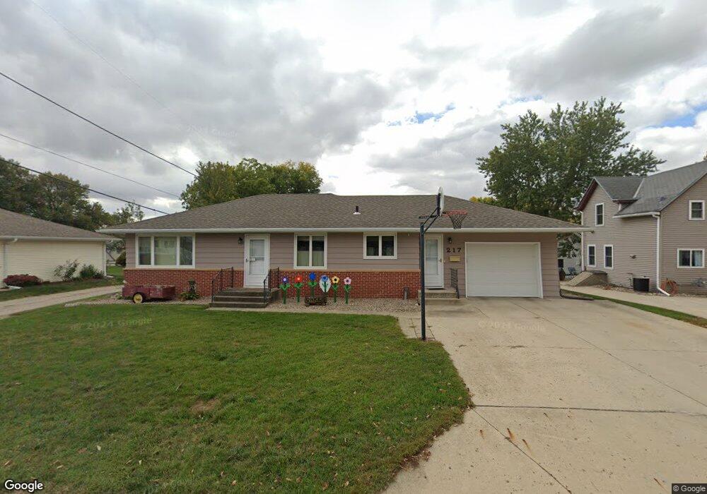
217 W 10th St Carroll, IA 51401
Estimated Value: $165,000 - $197,000
3
Beds
2
Baths
1,189
Sq Ft
$153/Sq Ft
Est. Value
About This Home
This home is located at 217 W 10th St, Carroll, IA 51401 and is currently estimated at $182,218, approximately $153 per square foot. 217 W 10th St is a home with nearby schools including Fairview Elementary School, Adams Elementary School, and Carroll Middle School.
Ownership History
Date
Name
Owned For
Owner Type
Purchase Details
Closed on
Apr 11, 2025
Sold by
Onken Daniel L and Onken Cathy S
Bought by
Daniel L And Cathy S Onken Trust and Onken
Current Estimated Value
Purchase Details
Closed on
Jan 31, 2021
Sold by
Vonqualen Sharon K and Von Qualen Ralph
Bought by
Ovq Farm Llc
Purchase Details
Closed on
Jan 29, 2021
Sold by
Espr019021 Agnes B Onken Estate
Bought by
Vonqualen Sharon K and Onken Daniel L
Create a Home Valuation Report for This Property
The Home Valuation Report is an in-depth analysis detailing your home's value as well as a comparison with similar homes in the area
Home Values in the Area
Average Home Value in this Area
Purchase History
| Date | Buyer | Sale Price | Title Company |
|---|---|---|---|
| Daniel L And Cathy S Onken Trust | -- | None Listed On Document | |
| Ovq Farm Llc | -- | None Available | |
| Vonqualen Sharon K | -- | None Available |
Source: Public Records
Tax History Compared to Growth
Tax History
| Year | Tax Paid | Tax Assessment Tax Assessment Total Assessment is a certain percentage of the fair market value that is determined by local assessors to be the total taxable value of land and additions on the property. | Land | Improvement |
|---|---|---|---|---|
| 2025 | $2,000 | $191,680 | $18,270 | $173,410 |
| 2024 | $2,000 | $166,030 | $18,270 | $147,760 |
| 2023 | $1,711 | $166,030 | $18,270 | $147,760 |
| 2022 | $1,620 | $120,740 | $15,230 | $105,510 |
| 2021 | $1,620 | $120,740 | $15,230 | $105,510 |
| 2020 | $1,659 | $120,740 | $15,230 | $105,510 |
| 2019 | $1,656 | $120,740 | $15,230 | $105,510 |
| 2018 | $1,556 | $120,740 | $15,230 | $105,510 |
| 2017 | $1,550 | $117,325 | $11,406 | $105,919 |
| 2016 | $1,444 | $109,650 | $0 | $0 |
| 2015 | $1,444 | $104,660 | $0 | $0 |
| 2014 | $1,358 | $104,660 | $0 | $0 |
Source: Public Records
Map
Nearby Homes
- 1015 N Adams St
- 204 W 11th St
- 1102 N Main St
- 1108 N Main St
- 1036 N Crawford St
- 226 W 13th St
- 926 N Court St
- 1217 N Main St
- 807 N Court St
- 19383 U S 30
- 1408 N Adams St
- 1026 N Clark St
- 804 N Clark St
- 0 Deer Creek Ln Unit 6302348
- 907 Salinger Ave
- 222 Bass St
- 1601 Pike Ave
- 332 N Crawford St
- 260 Bass St
- 1608 Salinger Ave
- 213 W 10th St
- 926 N Carroll St
- 921 N Adams St
- 918 N Carroll St
- 918 N Carroll St
- 1003 N Adams St
- 915 N Adams St
- 910 N Carroll St
- 1009 N Adams St
- 1008 N Carroll St
- 921 N Carroll St
- 927 N Carroll St
- 909 N Adams St
- 915 N Carroll St
- 1014 N Carroll St
- 1003 N Carroll St
- 210 W 9th St
- 903 N Adams St
- 909 N Carroll St
- 926 N Adams St