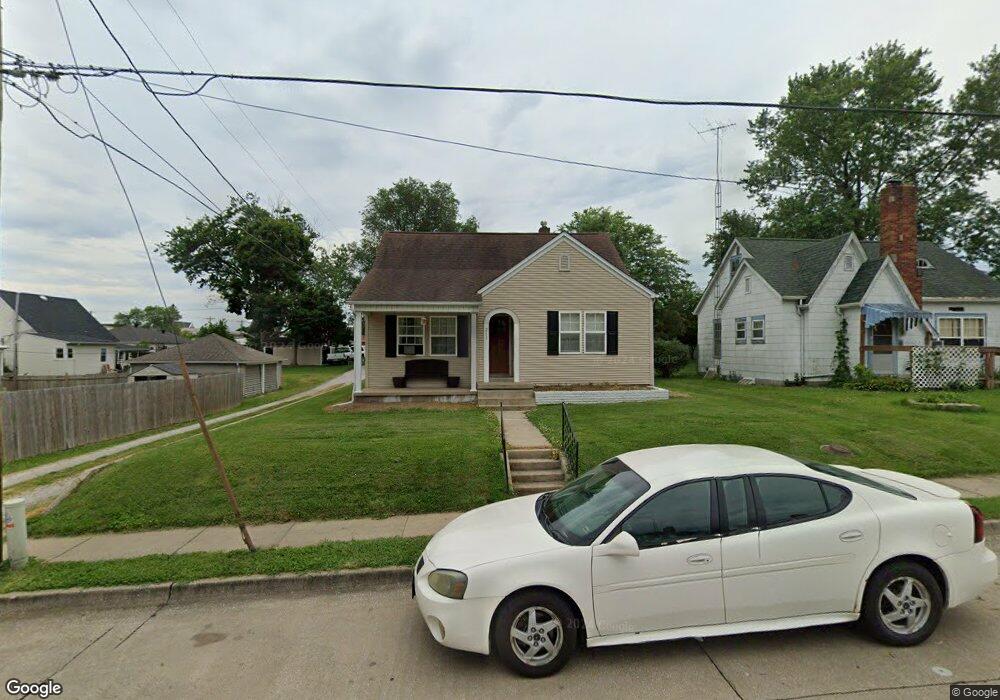
217 W St Francois St Perryville, MO 63775
Estimated Value: $153,000 - $176,000
4
Beds
1
Bath
1,195
Sq Ft
$137/Sq Ft
Est. Value
About This Home
This home is located at 217 W St Francois St, Perryville, MO 63775 and is currently estimated at $163,360, approximately $136 per square foot. 217 W St Francois St is a home located in Perry County with nearby schools including Perryville Primary Center, Perryville Elementary School, and Perry County Middle School.
Ownership History
Date
Name
Owned For
Owner Type
Purchase Details
Closed on
Jun 21, 2017
Sold by
Schroeder Ronald A
Bought by
Schwent Mary J
Current Estimated Value
Home Financials for this Owner
Home Financials are based on the most recent Mortgage that was taken out on this home.
Original Mortgage
$98,484
Outstanding Balance
$81,985
Interest Rate
4.05%
Mortgage Type
New Conventional
Estimated Equity
$81,375
Purchase Details
Closed on
Jul 30, 2008
Bought by
Schroeder Ronald A
Create a Home Valuation Report for This Property
The Home Valuation Report is an in-depth analysis detailing your home's value as well as a comparison with similar homes in the area
Home Values in the Area
Average Home Value in this Area
Purchase History
| Date | Buyer | Sale Price | Title Company |
|---|---|---|---|
| Schwent Mary J | $123,105 | -- | |
| Schroeder Ronald A | $90,000 | -- |
Source: Public Records
Mortgage History
| Date | Status | Borrower | Loan Amount |
|---|---|---|---|
| Open | Schwent Mary J | $98,484 |
Source: Public Records
Tax History Compared to Growth
Tax History
| Year | Tax Paid | Tax Assessment Tax Assessment Total Assessment is a certain percentage of the fair market value that is determined by local assessors to be the total taxable value of land and additions on the property. | Land | Improvement |
|---|---|---|---|---|
| 2024 | $950 | $18,293 | $2,442 | $15,851 |
| 2023 | $948 | $18,293 | $2,442 | $15,851 |
| 2022 | $907 | $17,493 | $2,035 | $15,458 |
| 2021 | $907 | $17,493 | $2,035 | $15,458 |
| 2020 | $841 | $16,080 | $1,841 | $14,239 |
| 2019 | $839 | $16,080 | $1,841 | $14,239 |
| 2018 | $747 | $15,894 | $1,841 | $14,053 |
| 2017 | $747 | $15,894 | $1,841 | $14,053 |
| 2016 | $747 | $14,733 | $1,841 | $12,892 |
| 2015 | -- | $14,733 | $1,841 | $12,892 |
| 2014 | -- | $14,317 | $1,841 | $12,476 |
Source: Public Records
Map
Nearby Homes
- 7c Deerpath Dr
- 118 W Saint Joseph St
- 221 N Walnut St
- 900 Old Saint Marys Rd
- 1026 Hume St
- 818 Trade Winds Dr
- 1001 Harry Ave
- 310 S Walnut St
- 0 Feltz St Unit MAR24020149
- 218 Bruce St
- 601 S Shelby St
- 1004 Edgemont Blvd
- 333 Lynnie St
- 1006 Ridge Dr
- 1608 Dogwood Ct
- 1661 Redbud Ct
- 1655 Redbud Ct
- 1649 Redbud Ct
- 1645 Redbud Ct
- 1648 Redbud Ct
- 217 W Saint Francois St
- 223 W Saint Francois St
- 326 N West St
- 326 N West St
- 219 W St Francis
- 214 W Saint Francois St
- 218 St Francois St W
- 322 N West St
- 218 W Saint Francois St
- 222 W Saint Francois St
- 222 W Street Francois St
- 400 N West St
- 222 W St Francois St
- 218 W Saint Francois St
- 218 W Street Francois St
- 314 N West St
- 406 N West St
- 310 Old Saint Marys Rd
- 410 N West St
- 327 N West St