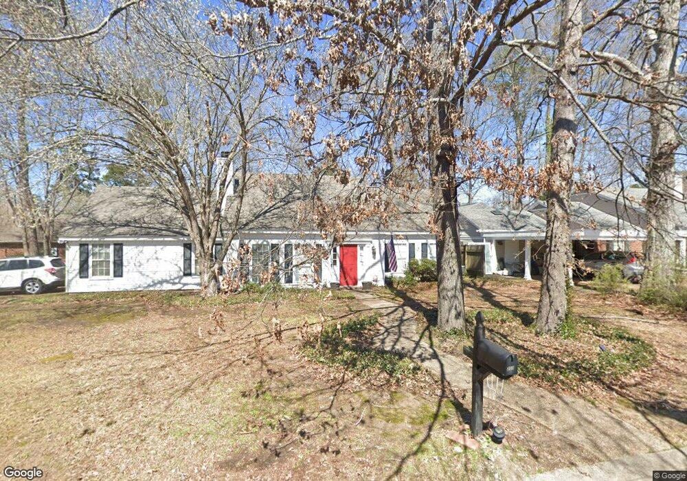
217 Williams Cir Flowood, MS 39232
Estimated Value: $253,097 - $451,000
3
Beds
2
Baths
1,590
Sq Ft
$193/Sq Ft
Est. Value
About This Home
This home is located at 217 Williams Cir, Flowood, MS 39232 and is currently estimated at $306,524, approximately $192 per square foot. 217 Williams Cir is a home located in Rankin County with nearby schools including Flowood Elementary School, Northwest Rankin Middle School, and Northwest Rankin High School.
Ownership History
Date
Name
Owned For
Owner Type
Purchase Details
Closed on
Nov 3, 2017
Sold by
Cox Anthony W and Cox Tonya
Bought by
Cox Anthony W
Current Estimated Value
Purchase Details
Closed on
Jul 31, 2008
Sold by
Community Bank Of Mississippi
Bought by
Cox Anthony Wayne and Cox Tonya Marie
Home Financials for this Owner
Home Financials are based on the most recent Mortgage that was taken out on this home.
Original Mortgage
$146,205
Interest Rate
6.31%
Mortgage Type
FHA
Purchase Details
Closed on
Sep 27, 2006
Sold by
Shawn Jones Shawn Jones and Temple Billy D
Bought by
G3 Properties Llc
Create a Home Valuation Report for This Property
The Home Valuation Report is an in-depth analysis detailing your home's value as well as a comparison with similar homes in the area
Home Values in the Area
Average Home Value in this Area
Purchase History
| Date | Buyer | Sale Price | Title Company |
|---|---|---|---|
| Cox Anthony W | -- | None Available | |
| Cox Anthony Wayne | -- | Luckett Land Title, Inc. | |
| G3 Properties Llc | -- | -- |
Source: Public Records
Mortgage History
| Date | Status | Borrower | Loan Amount |
|---|---|---|---|
| Previous Owner | Cox Anthony Wayne | $146,205 |
Source: Public Records
Tax History
| Year | Tax Paid | Tax Assessment Tax Assessment Total Assessment is a certain percentage of the fair market value that is determined by local assessors to be the total taxable value of land and additions on the property. | Land | Improvement |
|---|---|---|---|---|
| 2025 | $1,336 | $13,705 | $0 | $0 |
| 2024 | $1,311 | $13,705 | $0 | $0 |
| 2023 | $1,202 | $12,784 | $0 | $0 |
| 2022 | $1,183 | $12,784 | $0 | $0 |
| 2021 | $1,183 | $12,784 | $0 | $0 |
| 2020 | $1,183 | $12,784 | $0 | $0 |
| 2019 | $1,075 | $11,573 | $0 | $0 |
| 2018 | $1,052 | $11,573 | $0 | $0 |
| 2017 | $1,052 | $11,573 | $0 | $0 |
| 2016 | $949 | $11,170 | $0 | $0 |
| 2015 | $949 | $11,170 | $0 | $0 |
| 2014 | $724 | $11,170 | $0 | $0 |
| 2013 | $724 | $11,170 | $0 | $0 |
Source: Public Records
Map
Nearby Homes
- 10 Estates Dr
- No Old Fannin Rd
- 608 Summer Place
- 207 Hemlock Dr
- 3018 Windwood Cir
- 527 Laurelwood Dr
- 311 Longleaf Dr
- 623 Summer Place
- 417 Westport Way
- 125 Pinevale St
- 407 Pelican Way
- 4021 Brookwood Dr
- 610 Independence Blvd
- 739 Whippoorwill Dr
- 146 Tradition Pkwy
- 0 Liberty Rd Unit 4118646
- 326 Lasalle Ct
- 122 Belle Meade Blvd
- 188 Webb Ln
- 6147 Wirtz Rd
- 215 Williams Cir
- 225 Williams Cir
- 216 Williams Cir
- 213 Williams Cir
- 218 Williams Cir
- 227 Williams Cir
- 214 Williams Cir
- 212 Williams Cir
- 220 Williams Cir
- 1210 Michael St
- 1220 Michael St
- 229 Williams Cir
- 210 Williams Cir
- 222 Williams Cir
- 224 Williams Cir
- 231 Williams Cir
- 226 Williams Cir
- 140 Williams Cir
- 721 Baytree Dr
- 717 Bay Tree Dr
Your Personal Tour Guide
Ask me questions while you tour the home.