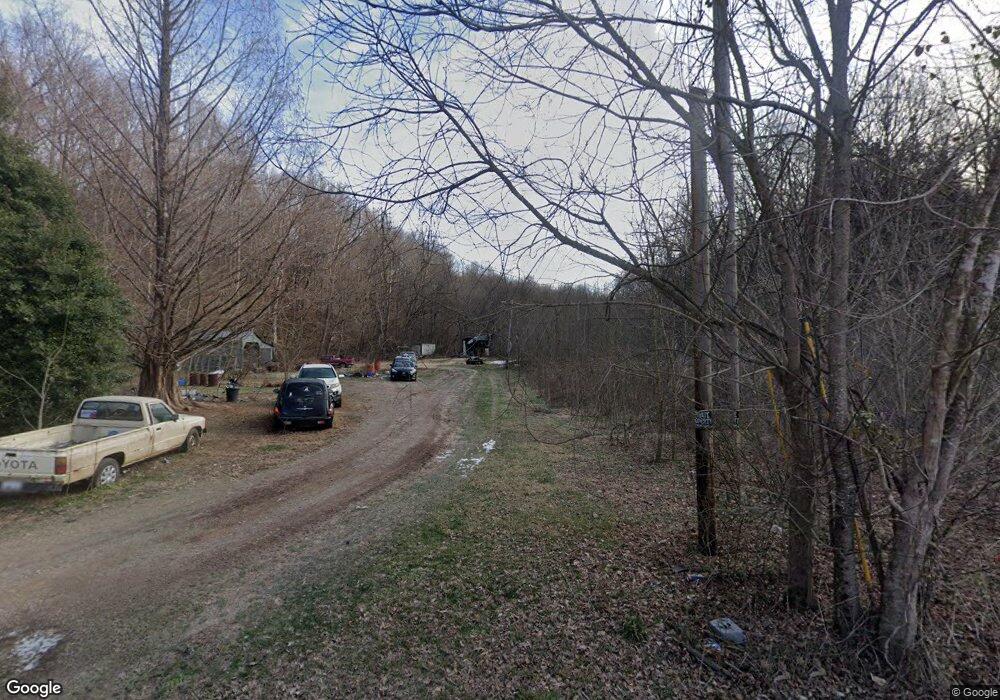
2170 Barefoot Rd Westmoreland, TN 37186
Estimated Value: $79,068 - $132,000
--
Bed
1
Bath
576
Sq Ft
$198/Sq Ft
Est. Value
About This Home
This home is located at 2170 Barefoot Rd, Westmoreland, TN 37186 and is currently estimated at $113,767, approximately $197 per square foot. 2170 Barefoot Rd is a home located in Macon County.
Ownership History
Date
Name
Owned For
Owner Type
Purchase Details
Closed on
Feb 17, 2014
Sold by
Stone Kenneth M
Bought by
Sadger Brent L and Sadger Annette L
Current Estimated Value
Home Financials for this Owner
Home Financials are based on the most recent Mortgage that was taken out on this home.
Original Mortgage
$23,000
Outstanding Balance
$17,435
Interest Rate
4.42%
Mortgage Type
Cash
Estimated Equity
$96,332
Purchase Details
Closed on
Jan 16, 2009
Sold by
Lasalle Bank National Asso
Bought by
Stone Kenneth M
Purchase Details
Closed on
Oct 16, 2008
Sold by
Robertson John W
Bought by
Lasalle Bank Na
Purchase Details
Closed on
Nov 13, 2007
Sold by
Robertson John W
Bought by
Eldridge Keith R
Purchase Details
Closed on
May 13, 1999
Sold by
Corp Russell N
Bought by
Robertson John W
Purchase Details
Closed on
Apr 29, 1993
Bought by
Swindle Hillas and David Swindle
Create a Home Valuation Report for This Property
The Home Valuation Report is an in-depth analysis detailing your home's value as well as a comparison with similar homes in the area
Home Values in the Area
Average Home Value in this Area
Purchase History
| Date | Buyer | Sale Price | Title Company |
|---|---|---|---|
| Sadger Brent L | $33,000 | -- | |
| Stone Kenneth M | $19,700 | -- | |
| Lasalle Bank Na | $43,836 | -- | |
| Eldridge Keith R | $48,000 | -- | |
| Robertson John W | $50,000 | -- | |
| Swindle Hillas | -- | -- |
Source: Public Records
Mortgage History
| Date | Status | Borrower | Loan Amount |
|---|---|---|---|
| Open | Sadger Brent L | $23,000 |
Source: Public Records
Tax History Compared to Growth
Tax History
| Year | Tax Paid | Tax Assessment Tax Assessment Total Assessment is a certain percentage of the fair market value that is determined by local assessors to be the total taxable value of land and additions on the property. | Land | Improvement |
|---|---|---|---|---|
| 2024 | $253 | $17,875 | $12,075 | $5,800 |
| 2023 | $253 | $17,875 | $0 | $0 |
| 2022 | $208 | $8,650 | $4,725 | $3,925 |
| 2021 | $208 | $8,650 | $4,725 | $3,925 |
| 2020 | $208 | $8,650 | $4,725 | $3,925 |
| 2019 | $208 | $8,650 | $4,725 | $3,925 |
| 2018 | $191 | $8,650 | $4,725 | $3,925 |
| 2017 | $188 | $7,475 | $4,225 | $3,250 |
| 2016 | $179 | $7,475 | $4,225 | $3,250 |
| 2015 | $179 | $7,475 | $4,225 | $3,250 |
| 2014 | $180 | $7,490 | $0 | $0 |
Source: Public Records
Map
Nearby Homes
- 1137 Poplar Grove Rd
- 412 Hawkins Rd
- 2060 Maple Grove Church Rd
- 100 Poplar Grove Rd
- 0 Hawkins Rd
- 5837 Rocky Mound Rd
- 8205 Hoskins Hollow Rd
- 8124 Hoskins Hollow Rd
- 151 Hawkins Rd
- 137 Hawkins Rd
- 6358 Rocky Mound Rd
- 6170 Rocky Mound Rd
- 6184 Rocky Mound Rd
- 2331 Pleasant Grove Rd
- 429 Marlin Ln
- 421 Marlin Ln
- 5879 Mount Union Rd
- 3910 Union Chapel Rd
- 3902 Union Chapel Rd
- 2972 Dover Church Rd
- 1986 Barefoot Rd
- 536 Napier Ln
- 537 Napier Ln
- 1536 Poplar Grove Rd
- 2414 Poplar Grove Rd
- 1830 Poplar Grove Rd
- 1884 Poplar Grove Rd
- 1796 Poplar Grove Rd
- 00 Poplar Grove Rd
- 125 Dog Trot Cir
- 83 Dog Trot Cir
- 1418 Poplar Grove Rd
- 8029 Dog Trot Ln
- 1446 Poplar Grove Rd
- 1421 Poplar Grove Rd
- 1968 Clure Brown Rd
- 1968 Clure Brown Rd
- 1912 Clure Brown Rd
- 1390 Poplar Grove Rd
- 2375 Poplar Grove Rd