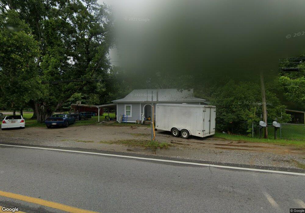
21708 Highway 613 Moss Point, MS 39562
Estimated Value: $84,624 - $171,000
--
Bed
1
Bath
1,075
Sq Ft
$123/Sq Ft
Est. Value
About This Home
This home is located at 21708 Highway 613, Moss Point, MS 39562 and is currently estimated at $132,156, approximately $122 per square foot. 21708 Highway 613 is a home located in Jackson County with nearby schools including East Central Lower Elementary School, East Central Upper Elementary School, and East Central Middle School.
Ownership History
Date
Name
Owned For
Owner Type
Purchase Details
Closed on
Aug 1, 2012
Sold by
Valentine Deanna Lynn Jones and Morris Kasandra Jones
Bought by
Tanner Donald Allen
Current Estimated Value
Home Financials for this Owner
Home Financials are based on the most recent Mortgage that was taken out on this home.
Original Mortgage
$8,000
Outstanding Balance
$5,537
Interest Rate
3.65%
Estimated Equity
$126,619
Purchase Details
Closed on
May 10, 2012
Sold by
Lee Rita D and Tanner Delores M
Bought by
Valentine Deanna Lynn Jones and Morris Kasandra Jones
Create a Home Valuation Report for This Property
The Home Valuation Report is an in-depth analysis detailing your home's value as well as a comparison with similar homes in the area
Home Values in the Area
Average Home Value in this Area
Purchase History
| Date | Buyer | Sale Price | Title Company |
|---|---|---|---|
| Tanner Donald Allen | -- | -- | |
| Valentine Deanna Lynn Jones | -- | -- |
Source: Public Records
Mortgage History
| Date | Status | Borrower | Loan Amount |
|---|---|---|---|
| Open | Tanner Donald Allen | $8,000 |
Source: Public Records
Tax History Compared to Growth
Tax History
| Year | Tax Paid | Tax Assessment Tax Assessment Total Assessment is a certain percentage of the fair market value that is determined by local assessors to be the total taxable value of land and additions on the property. | Land | Improvement |
|---|---|---|---|---|
| 2024 | $948 | $7,900 | $42 | $7,858 |
| 2023 | $948 | $7,900 | $42 | $7,858 |
| 2022 | $921 | $7,900 | $42 | $7,858 |
| 2021 | $940 | $8,067 | $42 | $8,025 |
| 2020 | $877 | $7,262 | $39 | $7,223 |
| 2019 | $868 | $7,262 | $39 | $7,223 |
| 2018 | $885 | $7,262 | $39 | $7,223 |
| 2017 | $792 | $6,395 | $39 | $6,356 |
| 2016 | $761 | $6,395 | $39 | $6,356 |
| 2015 | $696 | $38,810 | $260 | $38,550 |
| 2014 | $684 | $5,822 | $39 | $5,783 |
| 2013 | $661 | $5,822 | $39 | $5,783 |
Source: Public Records
Map
Nearby Homes
- 0 Mississippi 614
- 21217 E Trails End Rd
- 6709 Caraway Rd
- 6105 Mccormack Rd
- 8012 Coleman Homestead Rd
- 22817 Alamosa Dr
- 21551 John Holder Rd
- 23117 Hinton Rd
- Lot 32 Huckleberry Ln
- 5402 Huckleberry Ln
- 23601 Hinton Rd
- 22020 John Holder Rd
- 23ac Hinton Rd
- 6201 Lum Reeves Rd
- 0 Ramie Farm Rd
- 7805 Songbird Ln
- 24040 Robert e Lee Rd
- 6745 Whites Farm Rd
- 24000 Robert e Lee Rd
- 0 Dap Rd E
- 21609 Highway 613
- 21637 Magnolia Springs Rd
- 21621 County Home Rd
- 21627 Magnolia Springs Rd
- 6901 Hurley Wade Rd
- 6909 Hurley Wade Rd
- 6900 Hurley Wade Rd
- 7117 Joe Rubino Rd
- 6825 Hurley Wade Rd
- 21521 Highway 613
- 7200 Joe Rubino Rd
- 7121 Joe Rubino Rd
- 21615 Magnolia Springs Rd
- 21721 Magnolia Springs Rd
- 0 Campground Rd Unit 3230010
- 0 Campground Rd Unit 3273258
- 21725 Magnolia Springs Rd
- 21413 Mississippi 613
- 21735 Magnolia Springs Rd
- 21500 Blackamoor Rd