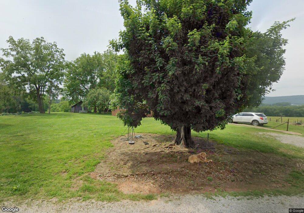
2171 Hubbards Cove Rd Morrison, TN 37357
Estimated Value: $196,784 - $714,000
--
Bed
2
Baths
1,456
Sq Ft
$240/Sq Ft
Est. Value
About This Home
This home is located at 2171 Hubbards Cove Rd, Morrison, TN 37357 and is currently estimated at $349,696, approximately $240 per square foot. 2171 Hubbards Cove Rd is a home located in Grundy County.
Ownership History
Date
Name
Owned For
Owner Type
Purchase Details
Closed on
Nov 19, 2009
Sold by
Clayborne Harold
Bought by
Clayborne Kelly
Current Estimated Value
Home Financials for this Owner
Home Financials are based on the most recent Mortgage that was taken out on this home.
Original Mortgage
$51,000
Outstanding Balance
$33,267
Interest Rate
4.98%
Estimated Equity
$316,429
Purchase Details
Closed on
Nov 6, 2009
Sold by
Clayborne Harold
Bought by
Hancock Hoover H
Home Financials for this Owner
Home Financials are based on the most recent Mortgage that was taken out on this home.
Original Mortgage
$51,000
Outstanding Balance
$33,267
Interest Rate
4.98%
Estimated Equity
$316,429
Purchase Details
Closed on
Aug 27, 1990
Bought by
Good Vance and Good Dorothy
Purchase Details
Closed on
Jun 5, 1970
Bought by
Good Vance and Good Dorothy
Create a Home Valuation Report for This Property
The Home Valuation Report is an in-depth analysis detailing your home's value as well as a comparison with similar homes in the area
Home Values in the Area
Average Home Value in this Area
Purchase History
| Date | Buyer | Sale Price | Title Company |
|---|---|---|---|
| Clayborne Kelly | $50,000 | -- | |
| Hancock Hoover H | $257,200 | -- | |
| Good Vance | -- | -- | |
| Good Vance | -- | -- |
Source: Public Records
Mortgage History
| Date | Status | Borrower | Loan Amount |
|---|---|---|---|
| Open | Good Vance | $51,000 |
Source: Public Records
Tax History Compared to Growth
Tax History
| Year | Tax Paid | Tax Assessment Tax Assessment Total Assessment is a certain percentage of the fair market value that is determined by local assessors to be the total taxable value of land and additions on the property. | Land | Improvement |
|---|---|---|---|---|
| 2024 | $588 | $41,225 | $6,250 | $34,975 |
| 2023 | $588 | $41,225 | $6,250 | $34,975 |
| 2022 | $551 | $24,875 | $4,075 | $20,800 |
| 2021 | $551 | $24,875 | $4,075 | $20,800 |
| 2020 | $525 | $23,700 | $4,075 | $19,625 |
| 2019 | $477 | $17,850 | $2,400 | $15,450 |
| 2018 | $477 | $18,775 | $2,400 | $16,375 |
| 2017 | $477 | $18,775 | $2,400 | $16,375 |
| 2016 | $477 | $18,775 | $2,400 | $16,375 |
| 2015 | $477 | $18,775 | $2,400 | $16,375 |
| 2014 | $476 | $18,765 | $0 | $0 |
Source: Public Records
Map
Nearby Homes
- 0 Hills Trace Rd
- 2137 Tn-108
- 866 Fults Cove
- 966 Fults Cove
- 1066 Fults Cove
- 1556 Chestnut Grove Rd
- 0 Chestnut Grove Rd
- 1055 Chestnut Grove Rd
- 4038 Mt Zion Rd
- 0 Valley View Dr Unit RTC3038919
- 5362 Hillsboro Viola Rd
- 0 Harpo Rd Unit Manchester TN
- 1662 Harpo Rd
- 0 176+ -Acres Tennessee 108
- 00 Marcrom Rd
- 0 Marcrom Rd
- 0 Blumont Dr Unit RTC2920528
- 92 Hickory Grove Dr
- 0 Nanny's Rd
- 303 S Lake Dr
- 2162 Hubbards Cove Rd
- 1865 Hubbards Cove Rd
- 1765 Hubbards Cove Rd
- 1425 Hubbards Cove Rd
- 143 Lano Sissom Rd
- 82 Baker Ln
- 200 Lano Sissom Rd
- 1261 Hubbards Cove Rd
- 1241 Sr 108 Rd
- 318 Hills Trace Rd
- 108 Sr
- 71 N Johnson Rd
- 533 Hills Trace Rd
- 280 Hills Trace Rd
- 1152 Sr108 Rd
- 1671 Sr 108 Rd
- 878 Hubbards Cove Rd
