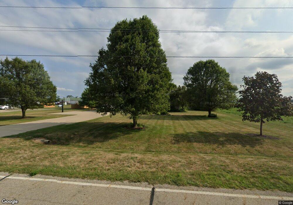
2171 Weigand Rd Lockbourne, OH 43137
Estimated Value: $533,418 - $784,000
5
Beds
3
Baths
2,954
Sq Ft
$225/Sq Ft
Est. Value
About This Home
This home is located at 2171 Weigand Rd, Lockbourne, OH 43137 and is currently estimated at $664,105, approximately $224 per square foot. 2171 Weigand Rd is a home located in Pickaway County.
Ownership History
Date
Name
Owned For
Owner Type
Purchase Details
Closed on
Jun 28, 2024
Sold by
Matteson Daniel T and Matteson Jennifer L
Bought by
Daniel T Matteson Revocable Trust and Jennifer L Matteson Revocable Trust
Current Estimated Value
Purchase Details
Closed on
Mar 14, 2013
Sold by
Reynolds Ivan Scott and Reynolds Kelly A
Bought by
Matteson Daniel T and Matteson Jennifer L
Home Financials for this Owner
Home Financials are based on the most recent Mortgage that was taken out on this home.
Original Mortgage
$303,215
Interest Rate
3.5%
Mortgage Type
FHA
Create a Home Valuation Report for This Property
The Home Valuation Report is an in-depth analysis detailing your home's value as well as a comparison with similar homes in the area
Purchase History
| Date | Buyer | Sale Price | Title Company |
|---|---|---|---|
| Daniel T Matteson Revocable Trust | -- | None Listed On Document | |
| Matteson Daniel T | $315,000 | Valmer Land Title Agency Box |
Source: Public Records
Mortgage History
| Date | Status | Borrower | Loan Amount |
|---|---|---|---|
| Previous Owner | Matteson Daniel T | $303,215 |
Source: Public Records
Tax History
| Year | Tax Paid | Tax Assessment Tax Assessment Total Assessment is a certain percentage of the fair market value that is determined by local assessors to be the total taxable value of land and additions on the property. | Land | Improvement |
|---|---|---|---|---|
| 2024 | -- | $132,920 | $17,060 | $115,860 |
| 2023 | $5,031 | $132,920 | $17,060 | $115,860 |
| 2022 | $4,333 | $105,360 | $14,030 | $91,330 |
| 2021 | $4,101 | $105,360 | $14,030 | $91,330 |
| 2020 | $4,112 | $105,360 | $14,030 | $91,330 |
| 2019 | $3,518 | $90,130 | $13,300 | $76,830 |
| 2018 | $3,673 | $90,130 | $13,300 | $76,830 |
| 2017 | $3,769 | $90,130 | $13,300 | $76,830 |
| 2016 | $3,423 | $81,490 | $12,570 | $68,920 |
| 2015 | $3,424 | $81,490 | $12,570 | $68,920 |
| 2014 | $3,426 | $81,490 | $12,570 | $68,920 |
| 2013 | $4,191 | $96,280 | $12,570 | $83,710 |
Source: Public Records
Map
Nearby Homes
- 11280 U S 23
- 13347 Us Highway 23
- 2713 W Old Duvall Ct
- 2767 W Old Duvall Ct
- 10976 Bulen Pierce Rd
- 62 Cider Mill Dr
- Bellamy Plan at Walnut Mill
- Chatham Plan at Walnut Mill
- Juniper Plan at Walnut Mill
- 57 Cider Mill Dr
- 50 Cider Mill Dr
- 61 Cider Mill Dr
- 54 Cider Mill Dr
- Henley Plan at Walnut Mill
- 60 Cider Mill Dr
- Sienna Plan at Walnut Mill
- 44 Cider Mill Dr
- Pendleton Plan at Walnut Mill
- Aldridge Plan at Walnut Mill
- Stamford Plan at Walnut Mill
- 2189 Weigand Rd
- 2146 Weigand Rd
- 2208 Weigand Rd
- 2245 Weigand Rd
- 2271 Weigand Rd
- 2271 Weigand Rd Unit L 2
- 2234 Weigand Rd
- 2301 Weigand Rd
- 2325 Weigand Rd
- 2318 Weigand Rd
- 2339 Weigand Rd
- 2363 Weigand Rd
- 2358 Weigand Rd
- 12375 Bulen-Pierce Rd
- 2395 Weigand Rd
- 2415 Weigand Rd
- 12465 Bulen Pierce Rd
- 12417 Bulen Pierce Rd
- 12399 Bulen Pierce Rd
- 0 Weigand Rd
