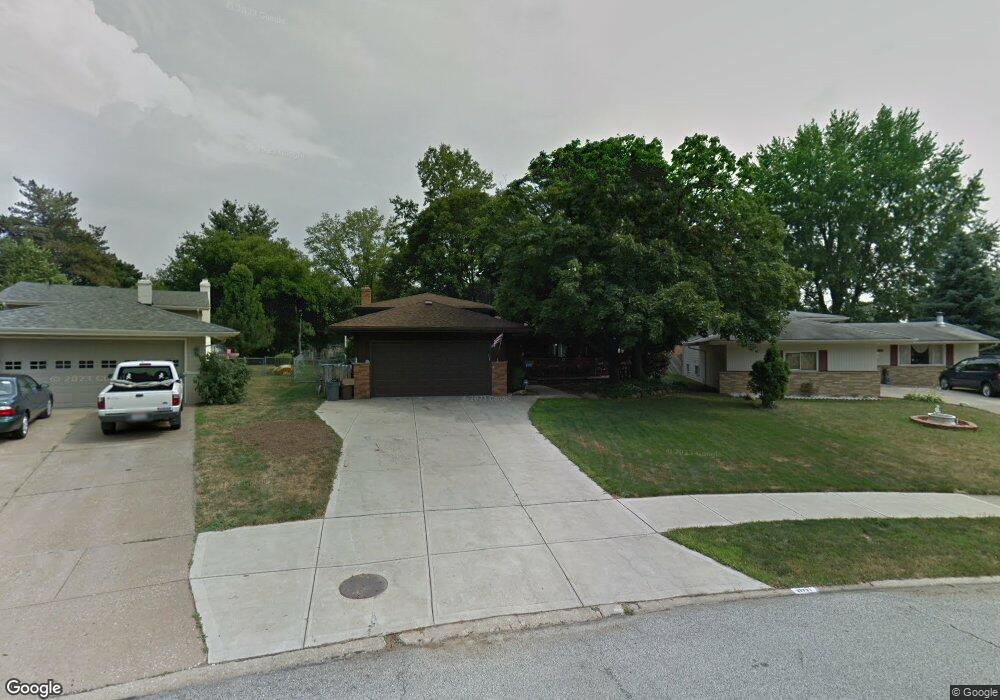
21721 Sherwood Dr Cleveland, OH 44126
Estimated Value: $320,000 - $345,000
3
Beds
2
Baths
2,128
Sq Ft
$156/Sq Ft
Est. Value
About This Home
This home is located at 21721 Sherwood Dr, Cleveland, OH 44126 and is currently estimated at $331,189, approximately $155 per square foot. 21721 Sherwood Dr is a home located in Cuyahoga County with nearby schools including Gilles-Sweet Elementary School, Lewis F Mayer Middle School, and Fairview High School.
Ownership History
Date
Name
Owned For
Owner Type
Purchase Details
Closed on
Nov 9, 2017
Sold by
Rosol Emil C and Rosol Kathleen L
Bought by
Rosol Emil C and Rosol Robert W
Current Estimated Value
Purchase Details
Closed on
Mar 21, 1977
Sold by
Wiggins Brook C and Wiggins Beverly
Bought by
Rosol Emil C
Purchase Details
Closed on
Jan 1, 1975
Bought by
Wiggins Brook C and Wiggins Beverly
Create a Home Valuation Report for This Property
The Home Valuation Report is an in-depth analysis detailing your home's value as well as a comparison with similar homes in the area
Home Values in the Area
Average Home Value in this Area
Purchase History
| Date | Buyer | Sale Price | Title Company |
|---|---|---|---|
| Rosol Emil C | -- | Northern Title Agency Inc | |
| Rosol Emil C | $58,000 | -- | |
| Wiggins Brook C | -- | -- |
Source: Public Records
Tax History Compared to Growth
Tax History
| Year | Tax Paid | Tax Assessment Tax Assessment Total Assessment is a certain percentage of the fair market value that is determined by local assessors to be the total taxable value of land and additions on the property. | Land | Improvement |
|---|---|---|---|---|
| 2024 | $6,716 | $98,000 | $20,335 | $77,665 |
| 2023 | $5,491 | $68,290 | $17,890 | $50,400 |
| 2022 | $5,354 | $68,290 | $17,890 | $50,400 |
| 2021 | $5,469 | $68,290 | $17,890 | $50,400 |
| 2020 | $5,029 | $55,060 | $14,420 | $40,640 |
| 2019 | $4,471 | $157,300 | $41,200 | $116,100 |
| 2018 | $4,237 | $55,060 | $14,420 | $40,640 |
| 2017 | $4,189 | $47,610 | $11,870 | $35,740 |
| 2016 | $4,161 | $47,610 | $11,870 | $35,740 |
| 2015 | $4,004 | $47,610 | $11,870 | $35,740 |
| 2014 | $4,004 | $46,210 | $11,520 | $34,690 |
Source: Public Records
Map
Nearby Homes
- 5951 Rockport Ln
- 22247 Mastick Rd
- 22534 Bard Ave
- 20930 Mastick Rd
- 22503 Sandy Ln
- 22506 Sharon Ln
- 22045 Morton Ave
- 22934 Mastick Rd Unit 102
- 4464 W 224th St
- 4627 W 223rd St
- 21763 Hillsdale Ave
- 21437 Hillsdale Ave
- 22895 Mastick Rd
- 4710 Grayton Rd
- 4720 Grayton Rd
- 4514 Orchard Rd
- 4309 W 222nd St
- 22968 Maple Ridge Rd Unit 103
- 4590 Brendan Ln
- 22976 Maple Ridge Rd Unit B 105
- 21701 Sherwood Dr
- 21741 Sherwood Dr
- 21761 Sherwood Dr
- 5521 Sherwood Dr
- 21566 Mastick Rd
- 21781 Sherwood Dr
- 21720 Sherwood Dr
- 5501 Sherwood Dr
- 21760 Sherwood Dr
- 0 Mastick Rd Unit 3785581
- 21801 Sherwood Dr
- 5481 Sherwood Dr
- 5460 Sherwood Dr
- 21536 Mastick Rd
- 21780 Sherwood Dr
- 21821 Sherwood Dr
- 5461 Sherwood Dr
- 5480 Friar Cir
- 21601 Mastick Rd
- 21516 Mastick Rd